MyTopo
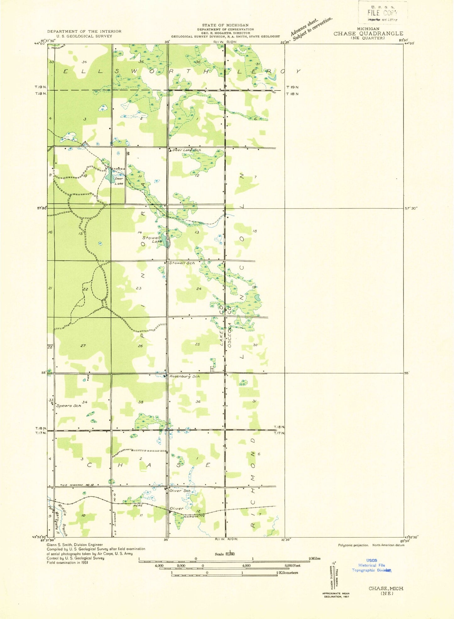
Classic USGS Reed City North Michigan 7.5'x7.5' Topo Map
Couldn't load pickup availability
Historical USGS topographic quad map of Reed City North in the state of Michigan. Map scale may vary for some years, but is generally around 1:24,000. Print size is approximately 24" x 27"
This quadrangle is in the following counties: Lake, Osceola.
The map contains contour lines, roads, rivers, towns, and lakes. Printed on high-quality waterproof paper with UV fade-resistant inks, and shipped rolled.
Contains the following named places: Ashton, Ashton Cemetery, Ashton Post Office, Ashton Station, Burt Creek, Burt School, Church of the Nazarene, Congregational United Church, Deer Lake, Deer Lake Cemetery, Deer Lake Post Office, East Branch Hersey Creek, German Cemetery, Harvest Assembly of God Church, Hersey Creek, Hewitt Creek, Hewitt School, House of Prayer, Jewitt Creek, Johnson Creek, Kissinger Creek, Lake No Sho Mo, Lawrence Creek, Lincoln Creek, Lincoln Township Fire Department, Lincoln Township Hall, Linear Park, Maple Hill School, Mount Olivet Cemetery, Nartron Field, Old Rugged Cross Museum, Oliver Post Office, Oliver School, Olivers, Olivers Station, Orono, Orono Post Office, Orono Station, Osceola County Courthouse, Osceola County Emergency Medical Services, Osceola County Sheriff's Office, Pinora Cemetery, Rambadt Memorial Park, Reed City, Reed City Church of God, Reed City Post Office, Reed City Public Library, Reed City Station, Rehkoff School, Roseburg School, Spears Grove School, Spectrum Health Reed City Hospital, Stowell Lake, Township of Lincoln, Township of Pinora, Trinity Lutheran Cemetery, United Methodist Church, Westerburg Memorial Park, Wilson Cemetery, Wilson School, Zion Church, ZIP Code: 49677