MyTopo
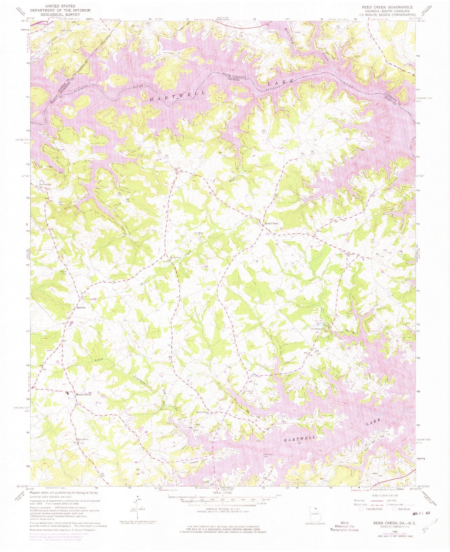
Classic USGS Reed Creek Georgia 7.5'x7.5' Topo Map
Couldn't load pickup availability
Historical USGS topographic quad map of Reed Creek in the states of Georgia, South Carolina. Map scale may vary for some years, but is generally around 1:24,000. Print size is approximately 24" x 27"
This quadrangle is in the following counties: Anderson, Hart, Oconee.
The map contains contour lines, roads, rivers, towns, and lakes. Printed on high-quality waterproof paper with UV fade-resistant inks, and shipped rolled.
Contains the following named places: Airnautique Inc Airport, Averys Ferry, Beaverdam Creek, Byrum Cemetery, Chandlers Ferry, Cleveland Cemetery, Cole Civil War Cemetery, Coles Ferry, Fair Play Creek, Gum Branch, Hart County Fire Department Station 2 Red Creek, Hart State Park, Hatton Shoals, Henley Store, Hurricane Creek, Little Lightwood Log Creek, Maretts, McMullan Cemetery, Mount Hebron Cemetery, Mount Hebron Church, Mount Olivet, Mount Olivet Cemetery, Mount Olivet Church, Mount Olivet Elementary School, Mustang Field, New Harmony Cemetery, New Harmony Methodist Church, New Hope Cemetery, New Hope Church, New Prospect Cemetery, New Prospect Church, Paynes Creek, Reed Creek, Reed Creek Cemetery, Reed Creek Census Designated Place, Reed Creek Church, Reed Creek Division, Reed Creek School, Robertson Cemetery, Rock Springs Cemetery, Rock Springs Church, Sharon Church, Sharon Presbyterian Church Cemetery, Vernon Church, Weldon Island, Wolf Creek