
MyTopo
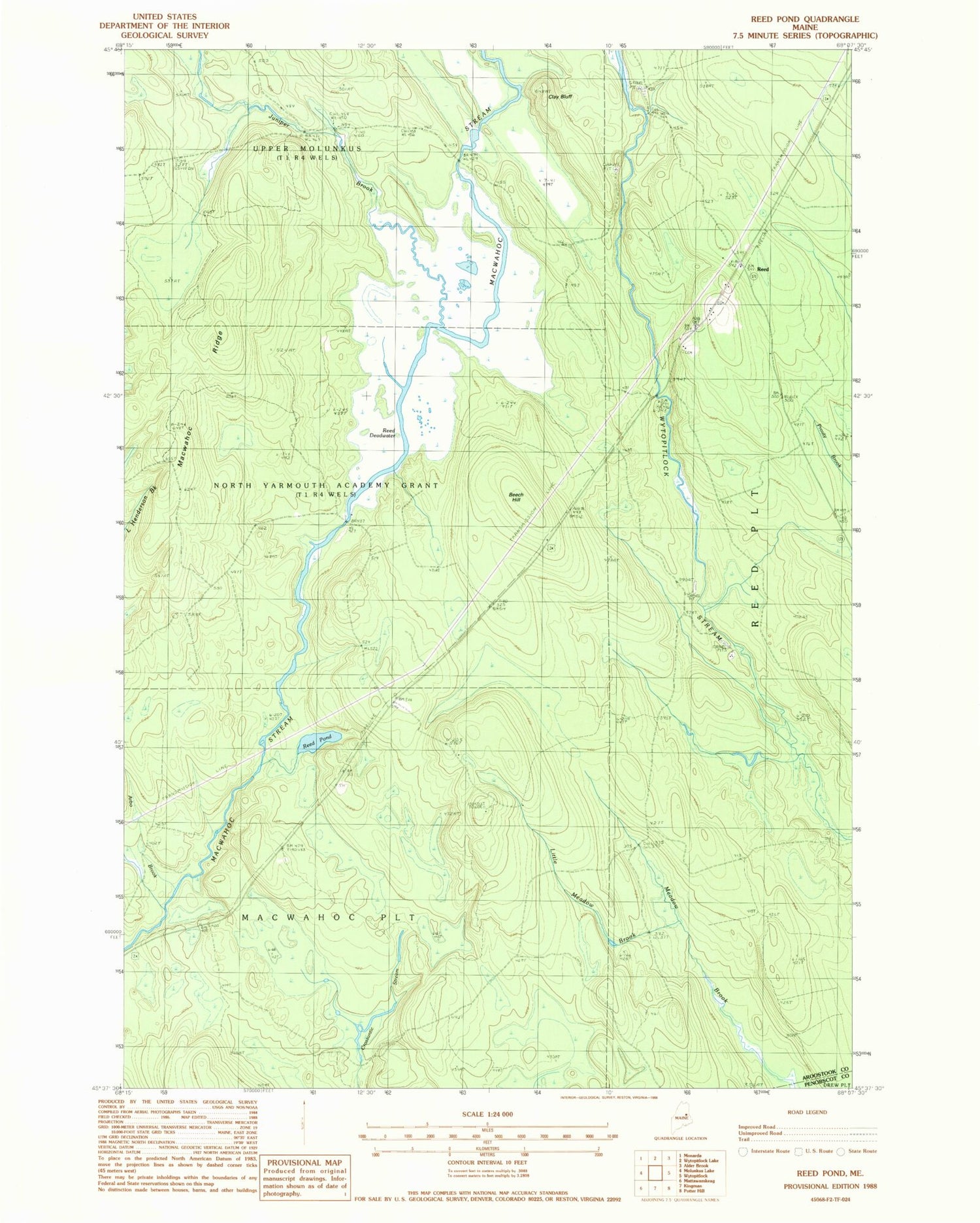
Classic USGS Reed Pond Maine 7.5'x7.5' Topo Map
Regular price
$16.95
Regular price
Sale price
$16.95
Unit price
per
Couldn't load pickup availability
Historical USGS topographic quad map of Reed Pond in the state of Maine. Map scale may vary for some years, but is generally around 1:24,000. Print size is approximately 24" x 27"
This quadrangle is in the following counties: Aroostook, Penobscot.
The map contains contour lines, roads, rivers, towns, and lakes. Printed on high-quality waterproof paper with UV fade-resistant inks, and shipped rolled.
Contains the following named places: Arbo Brook, Beech Hill, Clay Bluff, Clifford Cemetery, Juniper Brook, Little Meadow Brook, Macwahoc Ridge, Plantation of Macwahoc, Reed, Reed Deadwater, Reed Pond, Rollins Cemetery, Township of North Yarmouth Academy Grant, Upper Molunkus Township, Whitney Fire Tower