MyTopo
Classic USGS Reed Oklahoma 7.5'x7.5' Topo Map
Regular price
$16.95
Regular price
Sale price
$16.95
Unit price
per
Couldn't load pickup availability
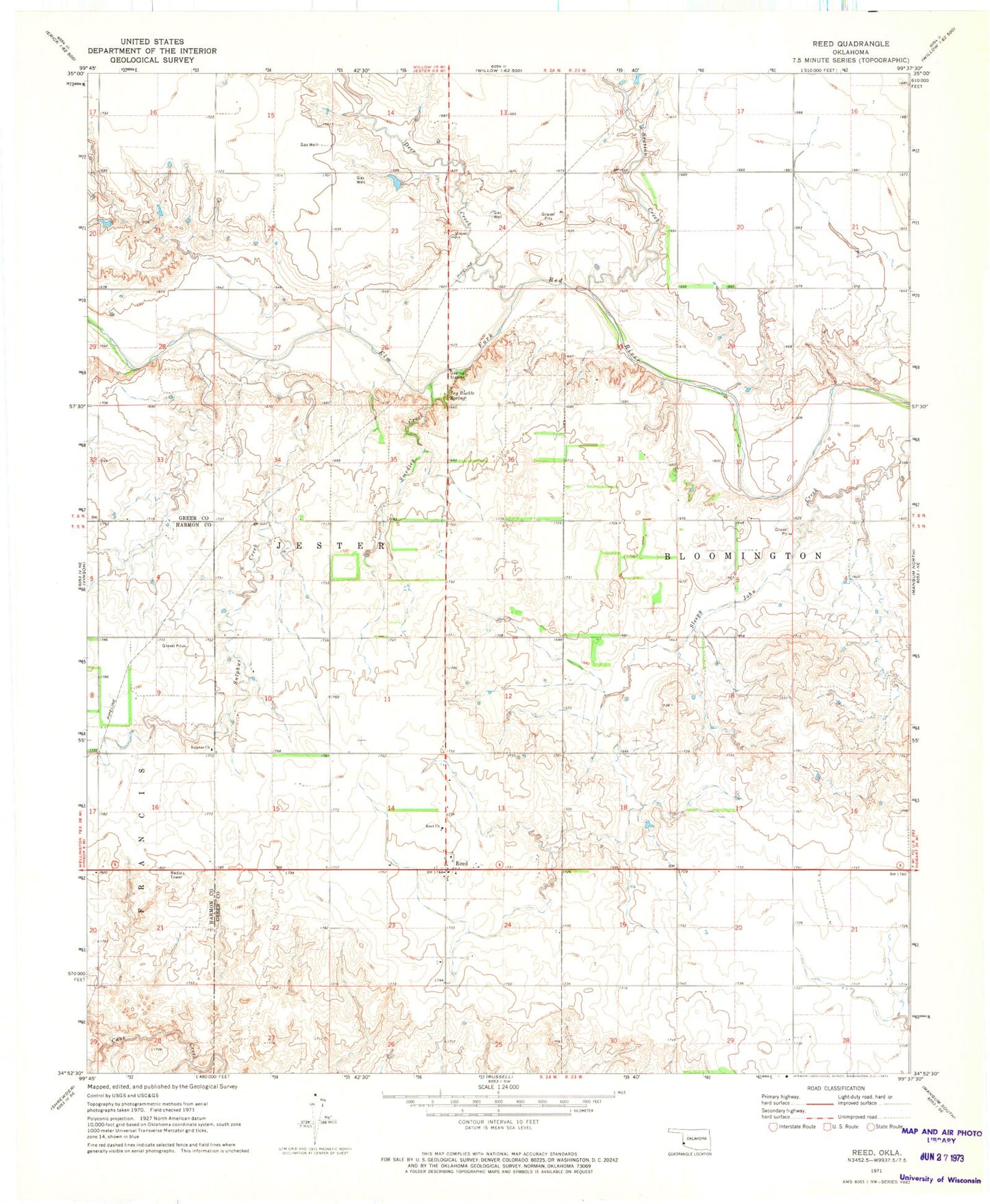
Historical USGS topographic quad map of Reed in the state of Oklahoma. Map scale may vary for some years, but is generally around 1:24,000. Print size is approximately 24" x 27"
This quadrangle is in the following counties: Greer, Harmon.
The map contains contour lines, roads, rivers, towns, and lakes. Printed on high-quality waterproof paper with UV fade-resistant inks, and shipped rolled.
Contains the following named places: Deer Creek, Jay Buckle Spring, Kenneth Houck Dam, Kenneth Houck Reservoir, Reed, Reed Cemetery, Reed Church, Reed Volunteer Fire Department, Smedley Creek, Station Creek, Sulphur Church, Sulphur Creek, Township of Bloomington