MyTopo
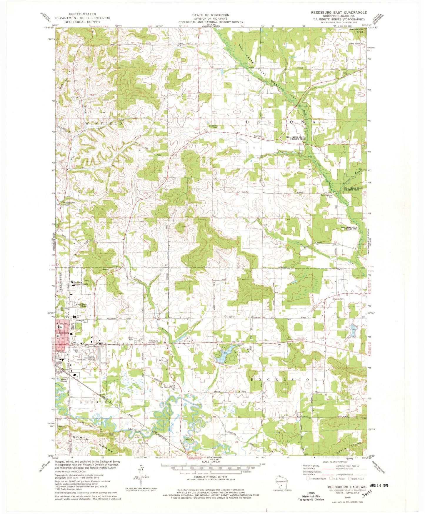
Classic USGS Reedsburg East Wisconsin 7.5'x7.5' Topo Map
Couldn't load pickup availability
Historical USGS topographic quad map of Reedsburg East in the state of Wisconsin. Map scale may vary for some years, but is generally around 1:24,000. Print size is approximately 24" x 27"
This quadrangle is in the following counties: Sauk.
The map contains contour lines, roads, rivers, towns, and lakes. Printed on high-quality waterproof paper with UV fade-resistant inks, and shipped rolled.
Contains the following named places: 0.42 Reservoir, 53959, All Saints Cemetery, Baders Villa Estates, Beaver Creek, Bible Baptist Church, Cady's Marsh State Natural Area, Camels Creek, Central Dellona School, Church of God, City of Reedsburg, Cole Cemetery, Copper Creek, Dell Creek State Wildlife Area, Dellona Center Cemetery, Faith Lutheran Church, Fox Creek School, Hay Creek Park, Hay Creek School, Huey Duck Lake 1, Huey Duck Lake H 639 Dam, Lake Virginia 2, Maple Aire Mobile Village, Marking H926 Dam, New Life Assembly of God Church, Nishan Park, Oak Park, Peace Lutheran School, Pineview Elementary School, Pleasant Knoll School, Rattlesnake Knob, Reedsburg Area Medical Center, Reedsburg Christian School, Reedsburg Country Club, Reedsburg Memorial Hospital Heliport, Reedsburg Middle School, Reedsburg Municipal Airport, Reedsburg Seventh Day Adventist Church, Reedsburg Wastewater Treatment Facility, Sacred Heart Catholic Church, Sacred Heart School, School Number 6, Sunnyside School, The Courtyards, Town of Dellona, Town of Excelsior, Trinity Baptist Church, Upper Narrows, Van Hise Rock, Virginia Lake G3355 Dam, Wiedman Memorial Park


