MyTopo
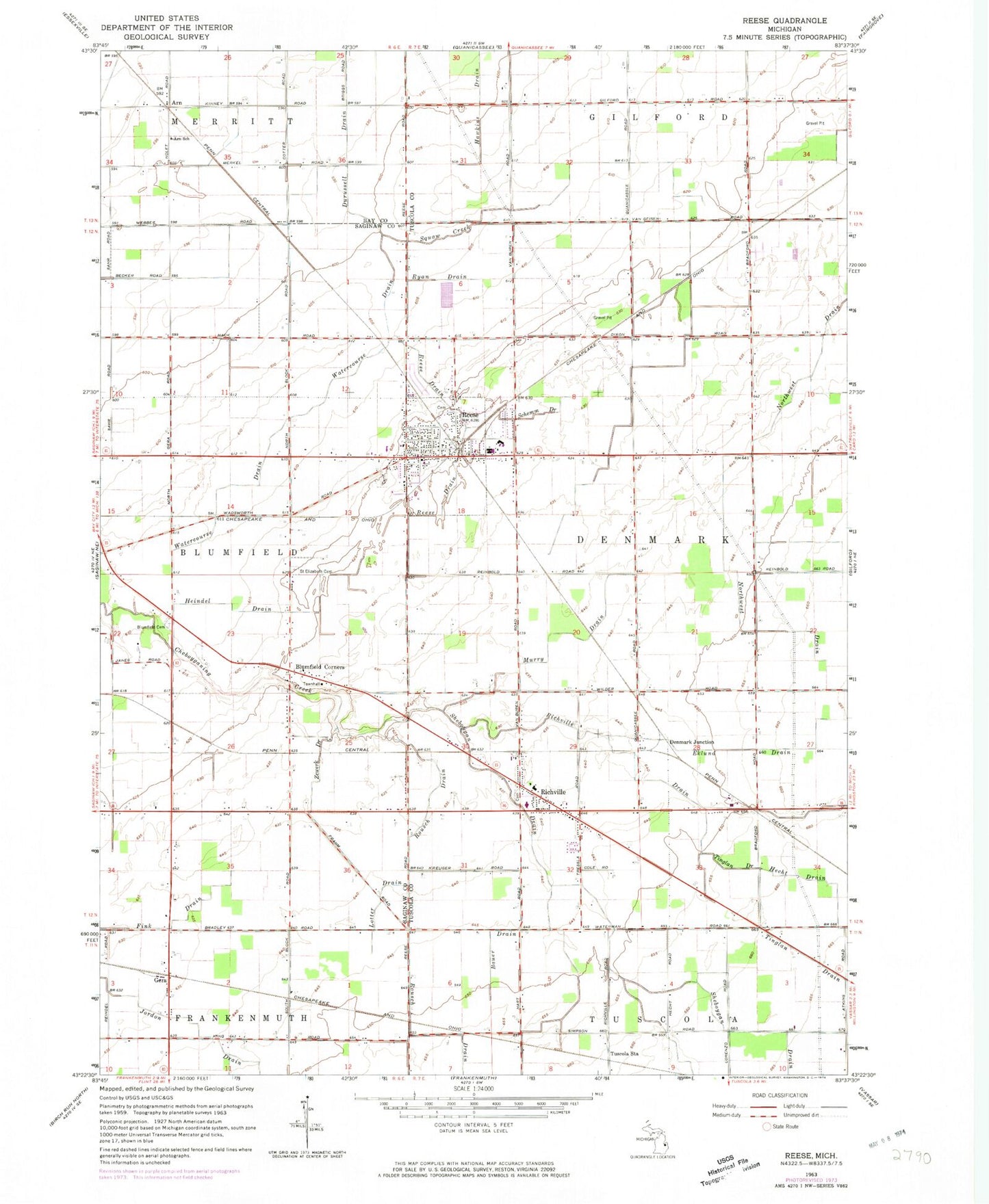
Classic USGS Reese Michigan 7.5'x7.5' Topo Map
Couldn't load pickup availability
Historical USGS topographic quad map of Reese in the state of Michigan. Map scale may vary for some years, but is generally around 1:24,000. Print size is approximately 24" x 27"
This quadrangle is in the following counties: Bay, Saginaw, Tuscola.
The map contains contour lines, roads, rivers, towns, and lakes. Printed on high-quality waterproof paper with UV fade-resistant inks, and shipped rolled.
Contains the following named places: Arn, Arn Post Office, Arn School, Arn Station, Bauer Drain, Blumfield Corners, Blumfield Township Cemetery, Christ Lutheran Church, Country Club of Reese, Crossway Assembly of God Church, Denmark Junction, Denmark Township Cemetery, Denmark Township Police Department, Durussell Drain, Ekund Drain, Fink Drain, Frankenhilf Historical Marker, Gera, Gera Post Office, Gera Station, Hawkins Drain, Hecht Drain, Heindel Drain, Jenney Post Office, Lotter Drain, Meadows Mobile Home Park, Murry Drain, Reese, Reese Drain, Reese Elementary School, Reese Fire Rescue, Reese High School, Reese Middle School, Reese Police Department, Reese Post Office, Reese Station, Richville, Richville Drain, Richville Fire Department, Richville Post Office, Richville Station, Rousch Drain, Ryan Drain, Saint Elizabeth Cemetery, Saint Elizabeth's Church, Saint Michael's German Lutheran Cemetery, Saint Michael's Lutheran Church, Saint Michael's Lutheran School, Schemn Drain, Sheboygan Drain, Squaw Creek, Tinglan Drain, Township of Denmark, Trinity Lutheran Cemetery, Trinity Lutheran Church, Trinity Lutheran School, Tuscola Station, United Methodist Church, Unity District Library, Village of Reese, Watercourse Drain, Zewerk Drain, ZIP Code: 48757


