MyTopo
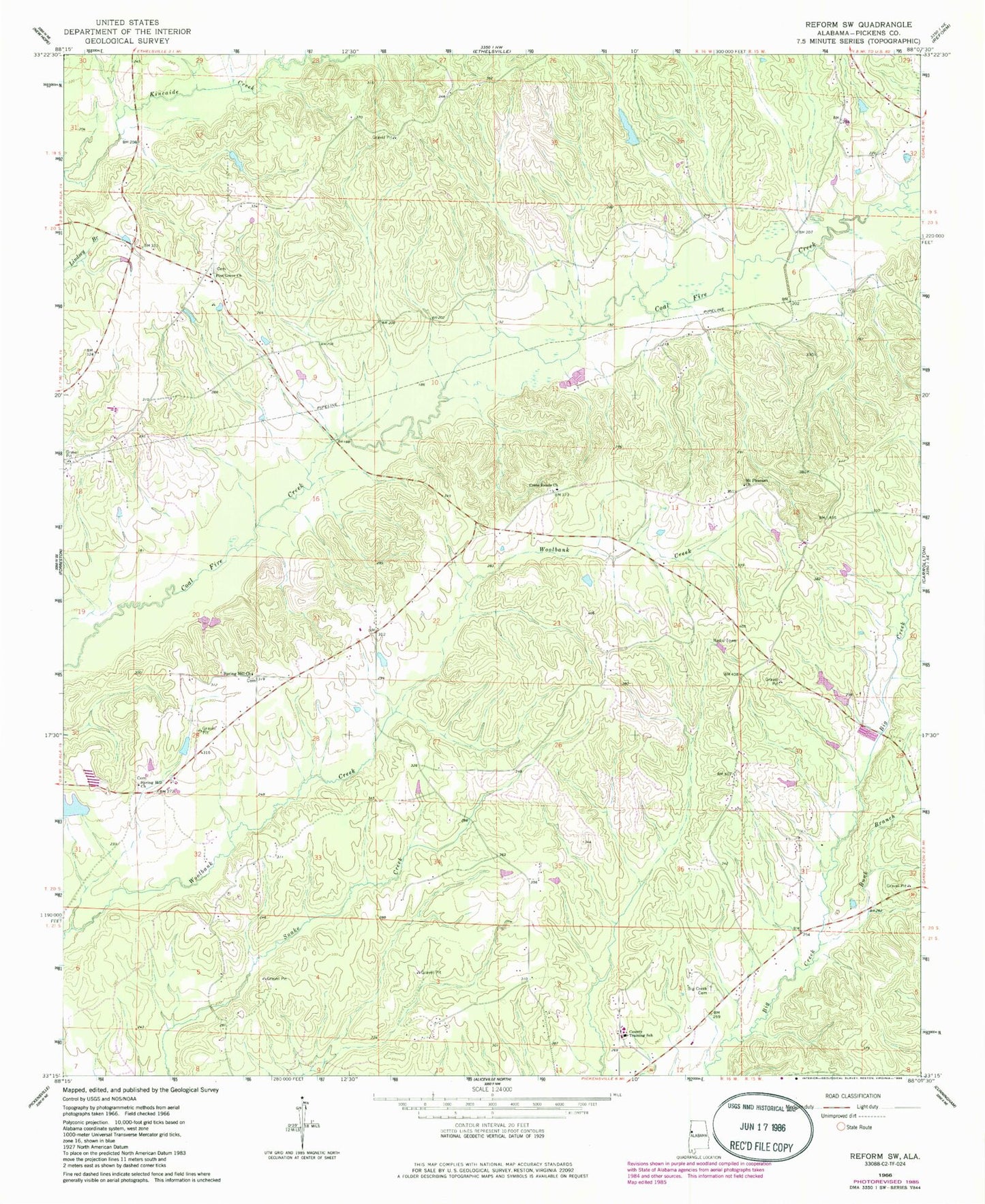
Classic USGS Reform SW Alabama 7.5'x7.5' Topo Map
Couldn't load pickup availability
Historical USGS topographic quad map of Reform SW in the state of Alabama. Map scale may vary for some years, but is generally around 1:24,000. Print size is approximately 24" x 27"
This quadrangle is in the following counties: Pickens.
The map contains contour lines, roads, rivers, towns, and lakes. Printed on high-quality waterproof paper with UV fade-resistant inks, and shipped rolled.
Contains the following named places: Allen School, Archer, Big Creek Cemetery, Big Creek Missionary Baptist Church, Big Creek School, Brooks Cemetery, Bunk Branch, C W Ladow Center, Carrollton Division, Cross Roads Church, Crossroads Cemetery, Lintons Bridge, Mount Moriah School, Mount Pleasant Church, New Jerusalem Church, Pine Grove, Pine Grove Church, Shepherd Dam, Shepherds Lake, Shiloh Unity Church, Spring Hill Baptist Church, Spring Hill Cemetery, Spring Hill Church, Spring Hill Church Cemetery, Woolbank Creek Gas Field, Zion Possum Bend Cemetery, ZIP Code: 35447