MyTopo
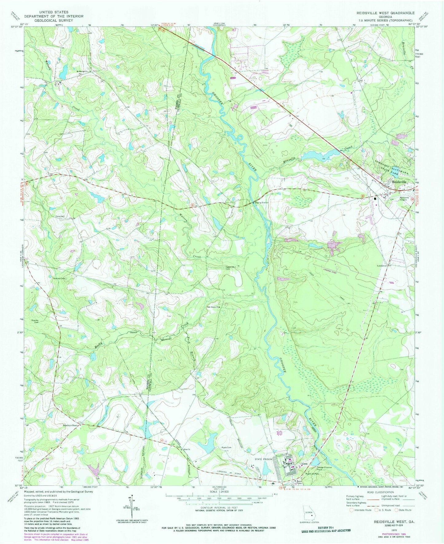
Classic USGS Reidsville West Georgia 7.5'x7.5' Topo Map
Couldn't load pickup availability
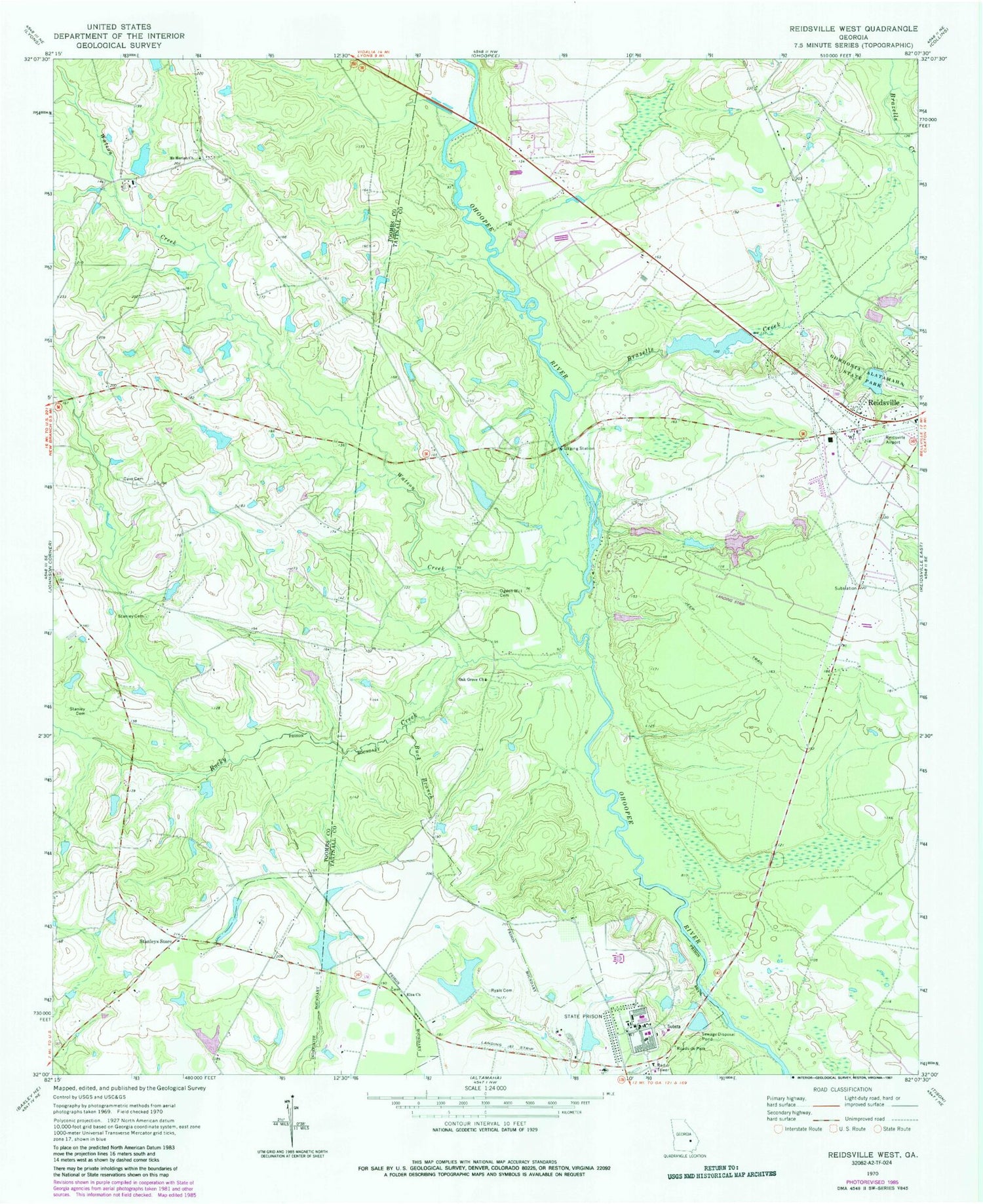
Historical USGS topographic quad map of Reidsville West in the state of Georgia. Map scale may vary for some years, but is generally around 1:24,000. Print size is approximately 24" x 27"
This quadrangle is in the following counties: Tattnall, Toombs.
The map contains contour lines, roads, rivers, towns, and lakes. Printed on high-quality waterproof paper with UV fade-resistant inks, and shipped rolled.
Contains the following named places: Bowen Lake Dam, Bowens Pond, Brazells Creek, Brazell's Creek Golf Course, Buck Branch, Cave Cemetery, Chicken Yard Pond, Chicken Yard Pond Dam, Cone Lake, Cone Lake Dam, Elza Church, Georgia State Patrol Troop F Post 18 Reidsville, Georgia State Prison, Gordonia Alatamaha Lake, Gordonia Alatamaha Lake Dam, Gordonia Alatamaha State Park, Iglesia de Dios Cristo mi Roca, Mount Moriah Church, Ogden Mill Cemetery, Rocky Creek, Rogers State Prison, Ryals Bridge, Ryals Cemetery, Shepards Bridge, Stanley Cemetery, Stanley Ford Bridge, Stanleys Store, Swinton Smith Field at Reidsville Municipal Airport, Wardens Cabin Pond Dam, Wardins Cabin Pond, Watson Creek, Weyherhauser Dam, Winge Lake, Winge Lake Dam, WRBX-FM (Reidsville), WTNL-AM (Reidsville)


