MyTopo
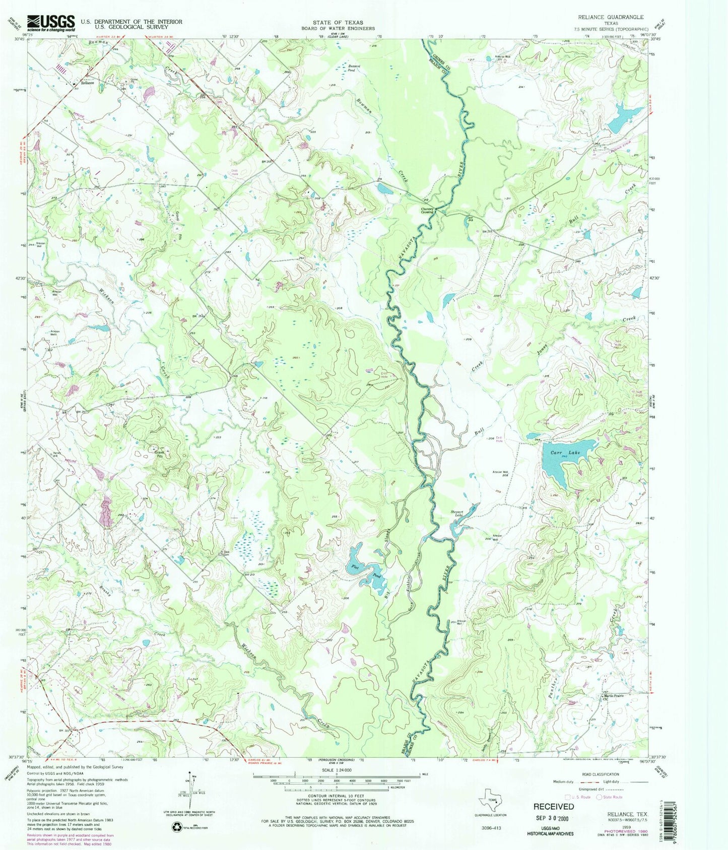
Classic USGS Reliance Texas 7.5'x7.5' Topo Map
Couldn't load pickup availability
Historical USGS topographic quad map of Reliance in the state of Texas. Map scale may vary for some years, but is generally around 1:24,000. Print size is approximately 24" x 27"
This quadrangle is in the following counties: Brazos, Grimes.
The map contains contour lines, roads, rivers, towns, and lakes. Printed on high-quality waterproof paper with UV fade-resistant inks, and shipped rolled.
Contains the following named places: Big Slough, Bowman Creek, Brazos County Precinct 3 Volunteer Fire Department Station 3, Brooke Lake, Brooke Lake Dam, Brushy Creek, Bull Creek, Buzzard Pond, Carr Lake, Carr Lake Dam, Channey Crossing, Flat Pond, Goon Fishhole Slough, Jones Creek, K Ranch Airport, K-Ranch Lake, K-Ranch Lake Dam, KTSR-FM (College Station), Martin Prairie Church, Reliance, Steep Hollow Branch, Stewart Lake, Stick Cemetery