MyTopo
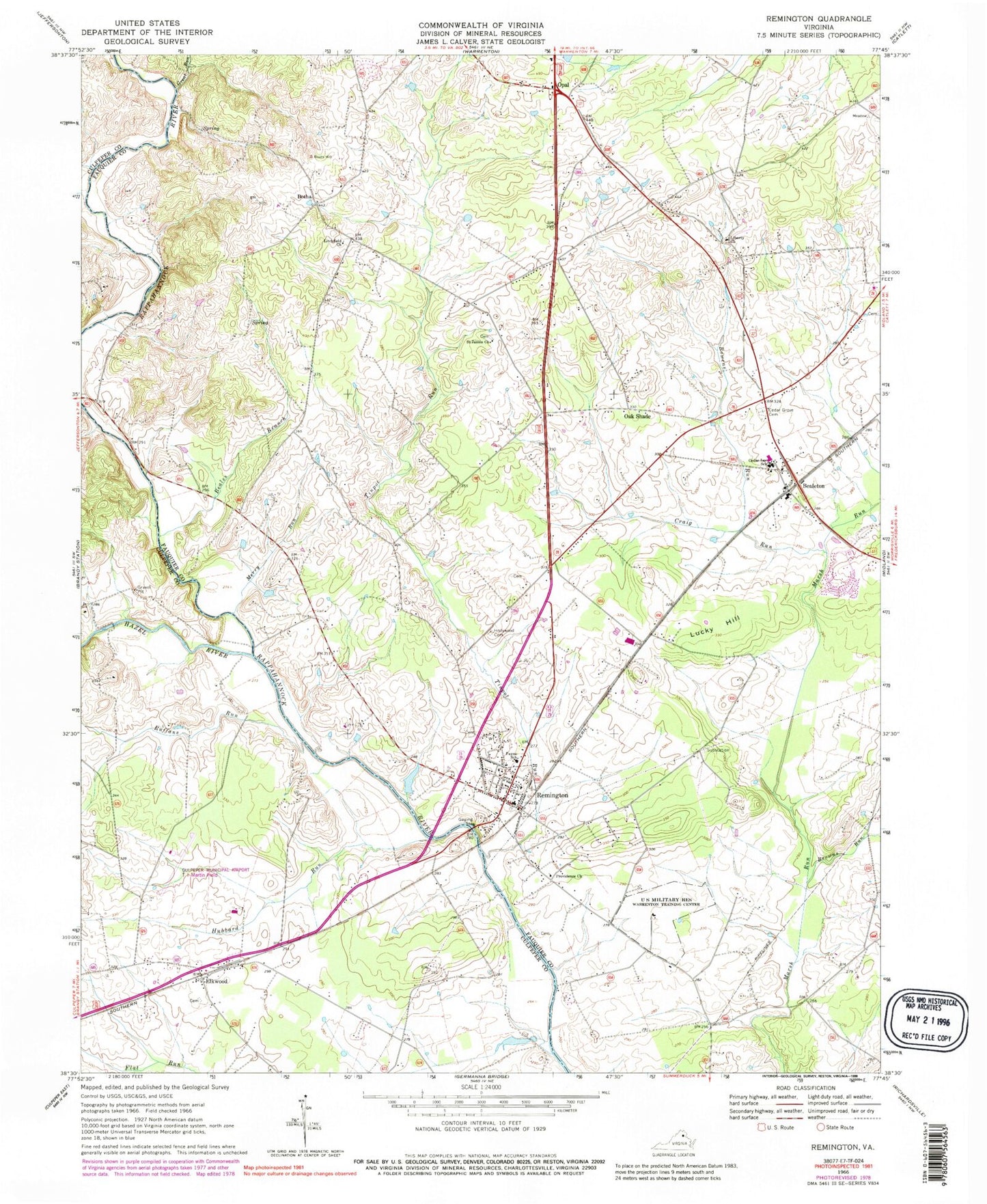
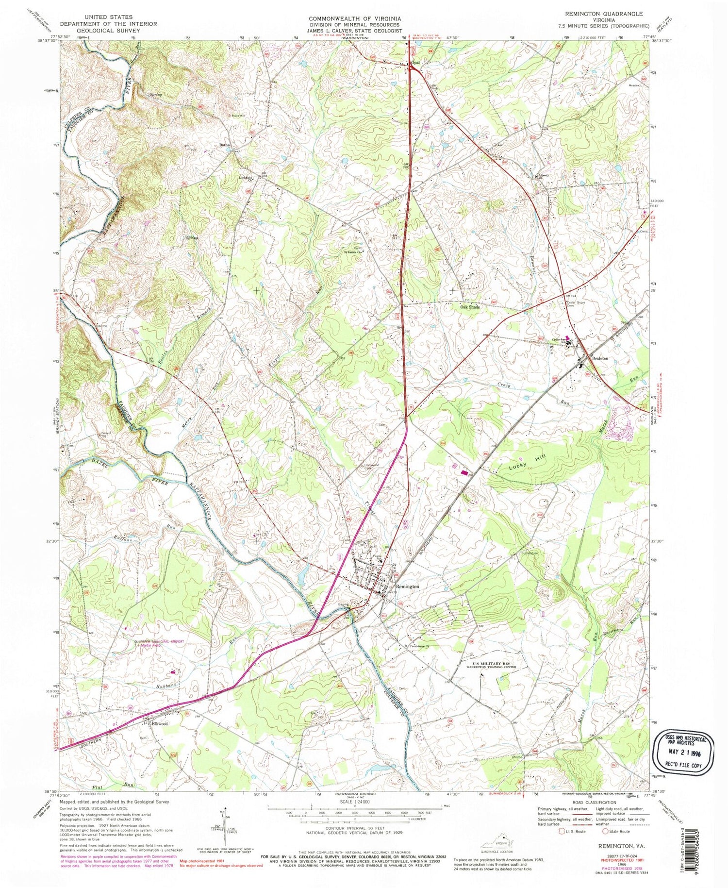
Classic USGS Remington Virginia 7.5'x7.5' Topo Map
Couldn't load pickup availability
Historical USGS topographic quad map of Remington in the state of Virginia. Typical map scale is 1:24,000, but may vary for certain years, if available. Print size: 24" x 27"
This quadrangle is in the following counties: Culpeper, Fauquier.
The map contains contour lines, roads, rivers, towns, and lakes. Printed on high-quality waterproof paper with UV fade-resistant inks, and shipped rolled.
Contains the following named places: Beales Branch, Bowens Run, Browns Run, Cedar Grove Cemetery, Cedar Lee Middle School, Craig Run, Elkwood, Great Run, Hazel River, Hollywood Cemetery, Hubbard Run, Liberty Church, Litchfield Presbyterian Church, Merry Run, Margaret M Pierce Elementary School, Providence Church, Ruffans Run, Saint James Church, Stony Branch, Tinpot Run, Botha, Oak Shade, Thorn Dam, Thorn Pond, Culpeper Regional Airport, Aviacres Airport, Elkwood Post Office, Bealeton, Lucky Hill, Opal, Remington, Bealton Baptist Church, Bealeton Post Office, Bealeton Presbyterian Church, Bealeton Village Shopping Center, Carolandville, Covingtons Corner, Doddstown, Fayettesville, Grace Miller Elementary School, Liberty, Litchfield, Litchfield School (historical), Mandleys Corner, Marsh Run Mobile Home Park, Perrowville, Remington Cemetery, Piney Ridge School (historical), Remington Post Office, Remington United Methodist Church, Saint James Baptist Church Cemetery, Saint Lukes Episcopal Church, Sunny Knoll, Weaverville, Lee District, Liberty High School, Brandy Station Battlefield Park, The Bealeton Library, John Barton Payne High School (historical), Remington Volunteer Fire and Rescue Department Fire Company 2 Rescue Company 14, Town of Remington, Cornerstone Christian Academy, Crossroads Community Church, Bealeton Census Designated Place, Opal Census Designated Place, Rular Airport, Woodward Turf Farms, Remington Police Department


