MyTopo
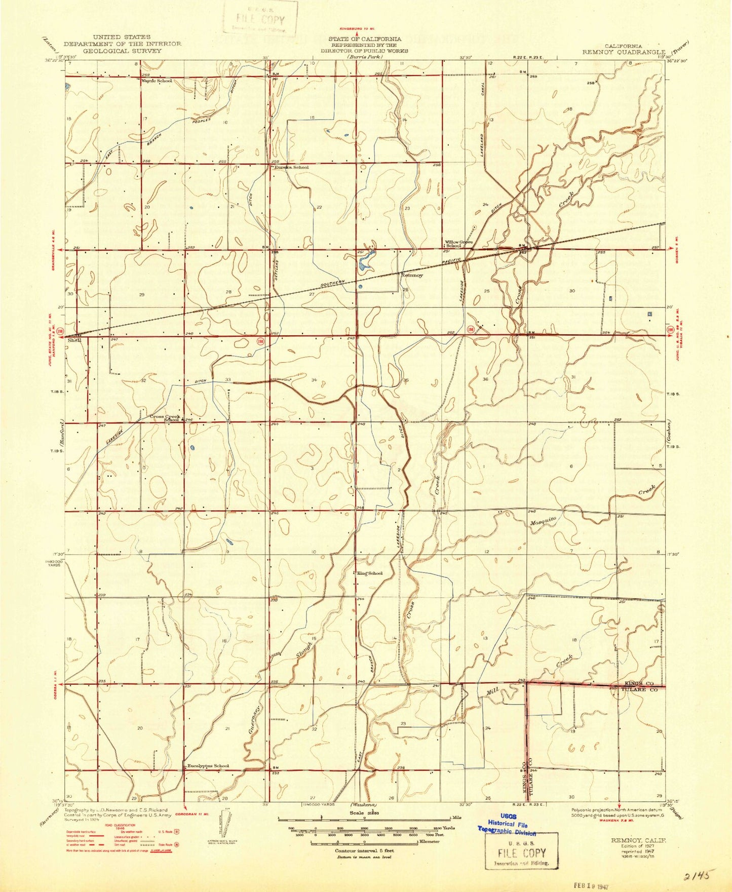
Classic USGS Remnoy California 7.5'x7.5' Topo Map
Couldn't load pickup availability
Historical USGS topographic quad map of Remnoy in the state of California. Map scale may vary for some years, but is generally around 1:24,000. Print size is approximately 24" x 27"
This quadrangle is in the following counties: Kings, Tulare.
The map contains contour lines, roads, rivers, towns, and lakes. Printed on high-quality waterproof paper with UV fade-resistant inks, and shipped rolled.
Contains the following named places: Atsma - Cameron Dairy, Bad Water Ranch, Cross Creek Dairy, Cross Creek School, East Branch Cross Creek, East Branch Peoples Ditch, Eucalyptus School, Eureka School, Flint Dairy, Flying M Ranch, Guernesy Slough, Hamblin, Highline Canal, Holland's Dairy, Ianni Strip, J C J Dairy, JVD Dairy, KIGS-AM (Hanford), King School, Kings County Fire Department Station 4 South Hanford, Kit Carson Elementary School, Log Haven Dairy, Lone Oak Farms Number 1, Lone Star Dairy, Mid Valley Alternative Charter Homeschool, Mill Creek, Mosquito Creek, Remnoy, Shell, SkyLife of Central California Air Ambulance, Sozinho Dairy, Warmerdam Dairy, Wayne School, Willow Grove School, ZIP Code: 93230