MyTopo
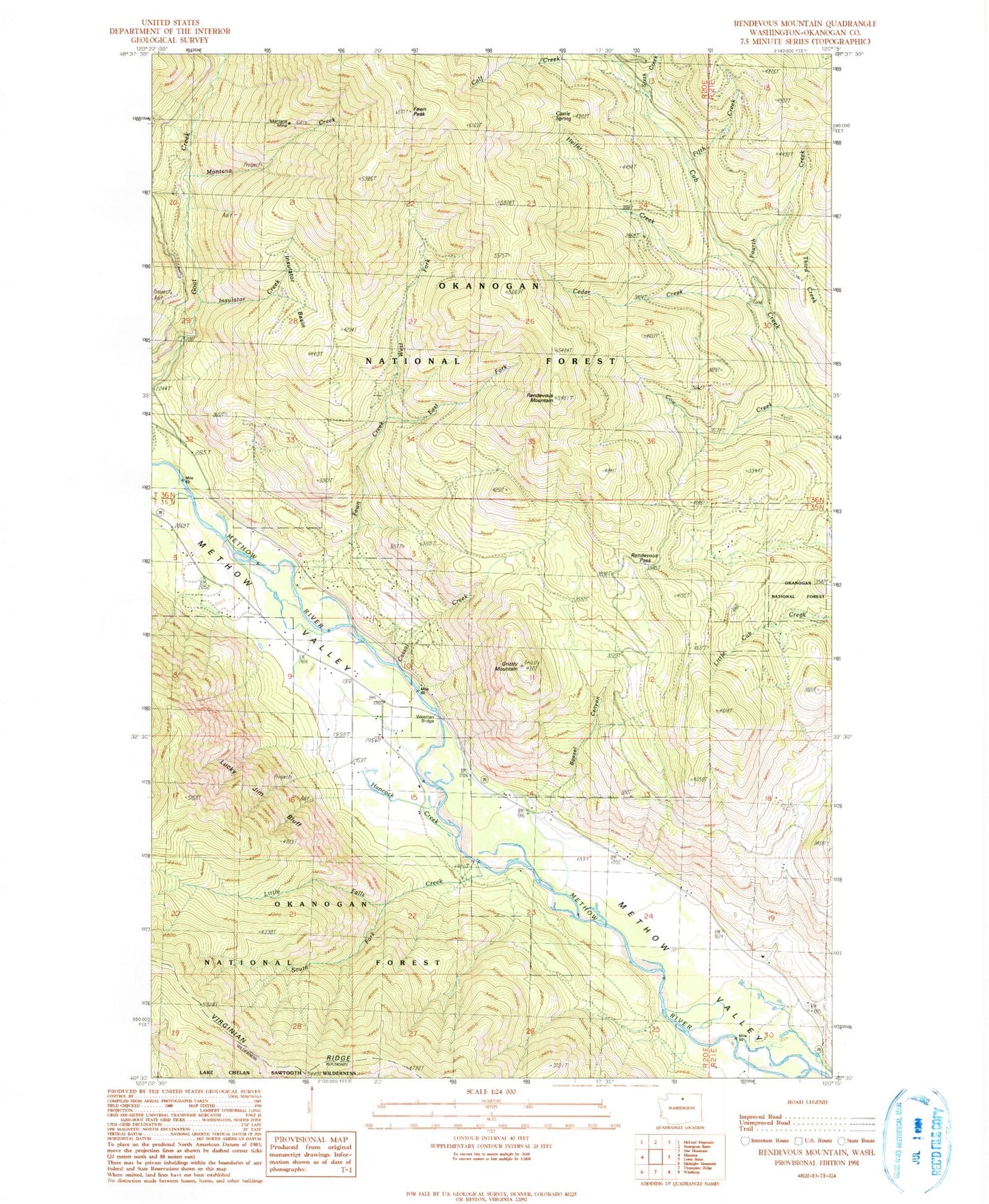
Classic USGS Rendevous Mountain Washington 7.5'x7.5' Topo Map
Couldn't load pickup availability
Historical USGS topographic quad map of Rendevous Mountain in the state of Washington. Map scale may vary for some years, but is generally around 1:24,000. Print size is approximately 24" x 27"
This quadrangle is in the following counties: Okanogan.
The map contains contour lines, roads, rivers, towns, and lakes. Printed on high-quality waterproof paper with UV fade-resistant inks, and shipped rolled.
Contains the following named places: Boesel Canyon, Cassal Creek, Castle Spring, Cedar Creek, Cow Creek, East Fork Fawn Creek, Fawn Creek, Fawn Peak, Fifth Creek, Fourth Creek, Grizzly Mountain, Hancock Creek, Heifer Creek, Insulator Basin, Insulator Creek, Little Falls Creek, Lucky Jim Bluff, Mazama Camp, Mazama Community Church, Montana Creek, Montana Mine, Rendevous Mountain, Rendevous Pass, Sixth Creek, South Fork Cow Creek, South Fork Little Falls Creek, Weeman Bridge, West Fork Fawn Creek, Whiteface Creek, ZIP Code: 98862