MyTopo
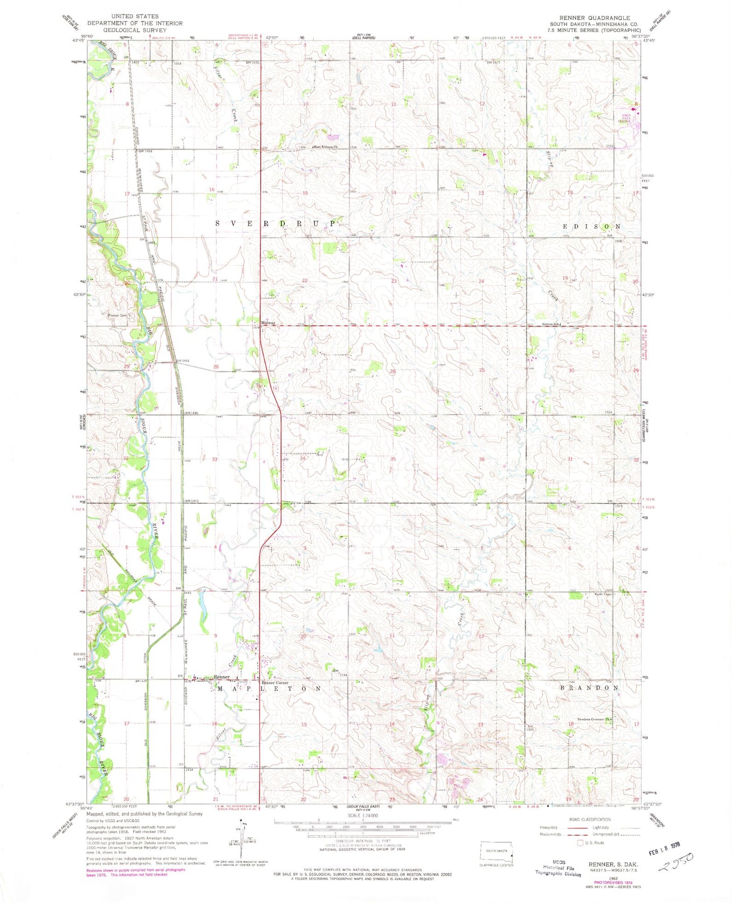
Classic USGS Renner South Dakota 7.5'x7.5' Topo Map
Couldn't load pickup availability
Historical USGS topographic quad map of Renner in the state of South Dakota. Map scale may vary for some years, but is generally around 1:24,000. Print size is approximately 24" x 27"
This quadrangle is in the following counties: Minnehaha.
The map contains contour lines, roads, rivers, towns, and lakes. Printed on high-quality waterproof paper with UV fade-resistant inks, and shipped rolled.
Contains the following named places: Andys Acres, Bothun School, Don Lee Kulow Memorial Library, East Nidaros Church, East Nidaros Lutheran Cemetery, McCroskey Addition, Midway, Nordstrom Dam, Old Diversion Ditch, Pennington, Pioneer Cemetery, Renner, Renner Corner, Renner Corner Census Designated Place, Renner Fire Rescue, Republican, Saint Olaf, Saint Paul's Cemetery, Saint Pauls Norwegian Evangelical Lutheran Church, Sittig Airstrip, Sorum Addition, Sorum Heights, Southgate Shopping Center, Swedona Convenant Church, Swedona Covenant Cemetery, Township of Mapleton, Township of Sverdrup, ZIP Code: 57055


