MyTopo
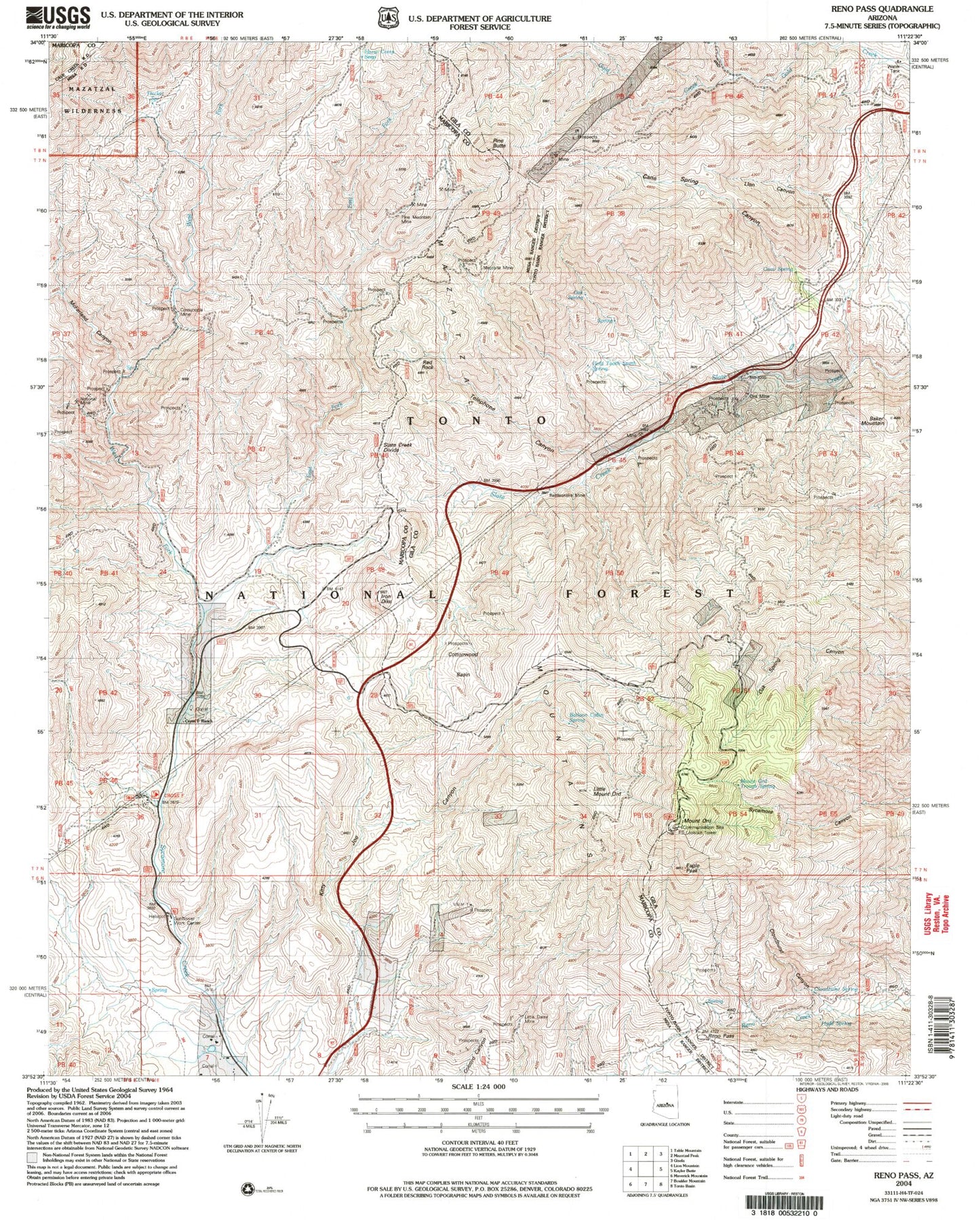
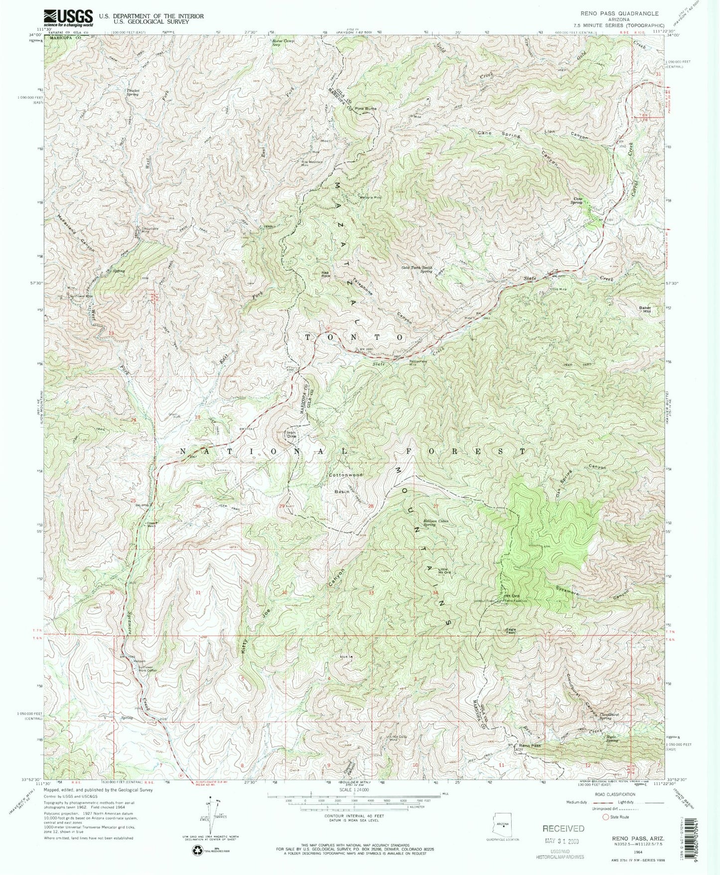
Classic USGS Reno Pass Arizona 7.5'x7.5' Topo Map
Couldn't load pickup availability
Historical USGS topographic quad map of Reno Pass in the state of Arizona. Typical map scale is 1:24,000, but may vary for certain years, if available. Print size: 24" x 27"
This quadrangle is in the following counties: Gila, Maricopa, Yavapai.
The map contains contour lines, roads, rivers, towns, and lakes. Printed on high-quality waterproof paper with UV fade-resistant inks, and shipped rolled.
Contains the following named places: Baker Mountain, Balloon Cabin Spring, Cane Spring, Cane Spring Canyon, Cloudburst Canyon, Cloudburst Spring, Cornucopia Mine, Corral Creek, Cottonwood Basin, Cross F Ranch, Eagle Peak, East Fork Sycamore Creek, Gold Tooth Smith Spring, Horse Camp Seep, Hyde Spring, Iron Dike, Lion Canyon, Little Daisy Mine, Little Mount Ord, McFarland Canyon, Mercuria Mine, Ord Mine, Mount Ord, Pine Butte, Rattlesnake Mine, Red Rock, Reno Pass, Sunflower Mine, Sunflower Work Center, Telephone Canyon, Thicket Spring, West Fork Sycamore Creek, Calcord Springs, Golden Rule Mine, Kitty Joe Canyon Spring, Kitty Joe Spring, Martin Spring, Mount Ord Lookout Tower, Palmer Spring, Pine Mountain Mine, Sunflower Ranger Station, Sycamore Spring, Whiskey Spring, Beeline Tank, Cinnabar Mine, Hyde Cabin Spring, Mount Ord Trough Spring, Oak Spring, Arrowhead Mountain, Sunflower Valley, Rock Spring, Cross F Trailhead, Slate Creek Divide, Arizona Highway Maintenance Beeline Yard, National Mine


