MyTopo
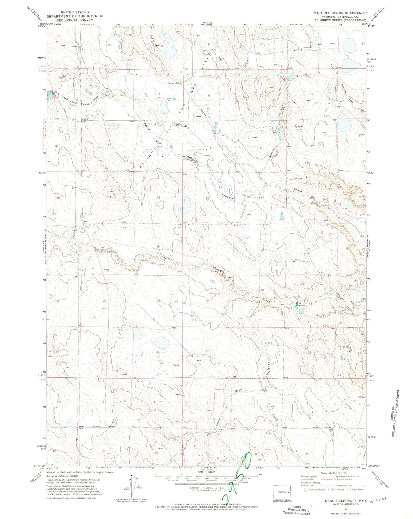
Classic USGS Reno Reservoir Wyoming 7.5'x7.5' Topo Map
Couldn't load pickup availability
Historical USGS topographic quad map of Reno Reservoir in the state of Wyoming. Map scale may vary for some years, but is generally around 1:24,000. Print size is approximately 24" x 27"
This quadrangle is in the following counties: Campbell.
The map contains contour lines, roads, rivers, towns, and lakes. Printed on high-quality waterproof paper with UV fade-resistant inks, and shipped rolled.
Contains the following named places: Black Thunder Mine, Dry Fork Little Thunder Creek, Gopher Pumping Station, Olson Draw, Reno 9-240-1 Dam, Reno 9-240-1 Reservoir, Reno Number 1 Dam, Reno Number 1 Reservoir, Reno Reservoir, Shipley Draw, Stuart Reservoir, Thunder Basin Coal Company - Black Thunder Mine Fire Department, Trussler Creek