MyTopo
Classic USGS Reno Minnesota 7.5'x7.5' Topo Map
Couldn't load pickup availability
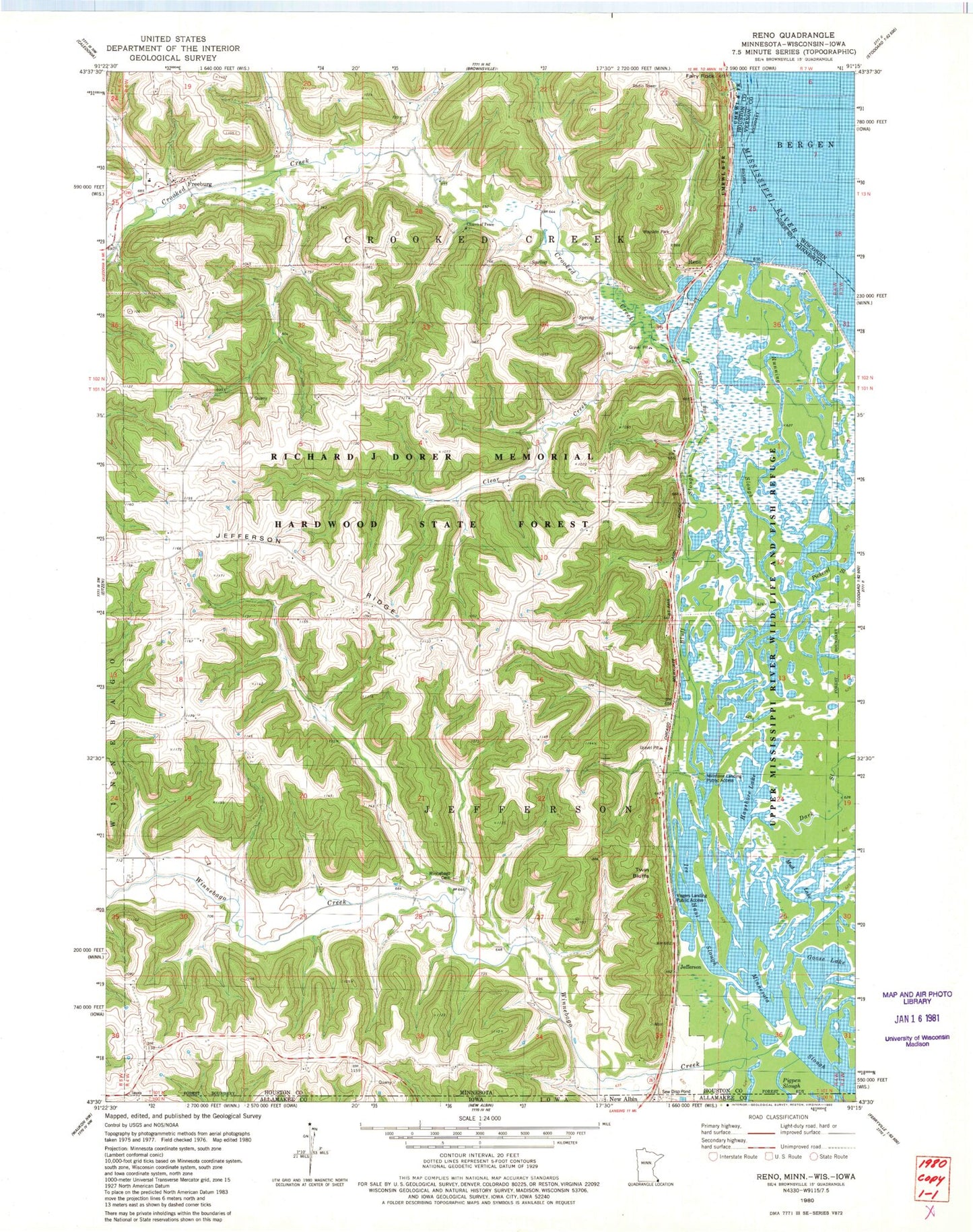
Historical USGS topographic quad map of Reno in the states of Minnesota, Wisconsin, Iowa. Map scale may vary for some years, but is generally around 1:24,000. Print size is approximately 24" x 27"
This quadrangle is in the following counties: Allamakee, Houston, Vernon.
The map contains contour lines, roads, rivers, towns, and lakes. Printed on high-quality waterproof paper with UV fade-resistant inks, and shipped rolled.
Contains the following named places: Bluff Slough, Church of Peace Cemetery, Clear Creek, Crooked Creek, Dark Slough, Fairy Rock, Freeburg, Freeburg Post Office, Goose Lake, Hayshore Lake, Ice Haul Slough, Jefferson, Jefferson Ridge, Middle Slough, Millstone Landing Public Access, Mud Lake, New Albin Cemetery, Old Methodist Cemetery, Pickerel Slough, Pigpen Slough, Reno, Reno Bottoms Canoe Trail, Reno Post Office, Richards Group Structure Dam, Running Slough, Saint Nicholas Catholic Cemetery, Sand Slough, Township of Crooked Creek, Township of Jefferson, Twin Bluffs, Visgers Landing Public Access, Winnebago Cemetery, Winnebago Creek, ZIP Code: 55919


