MyTopo
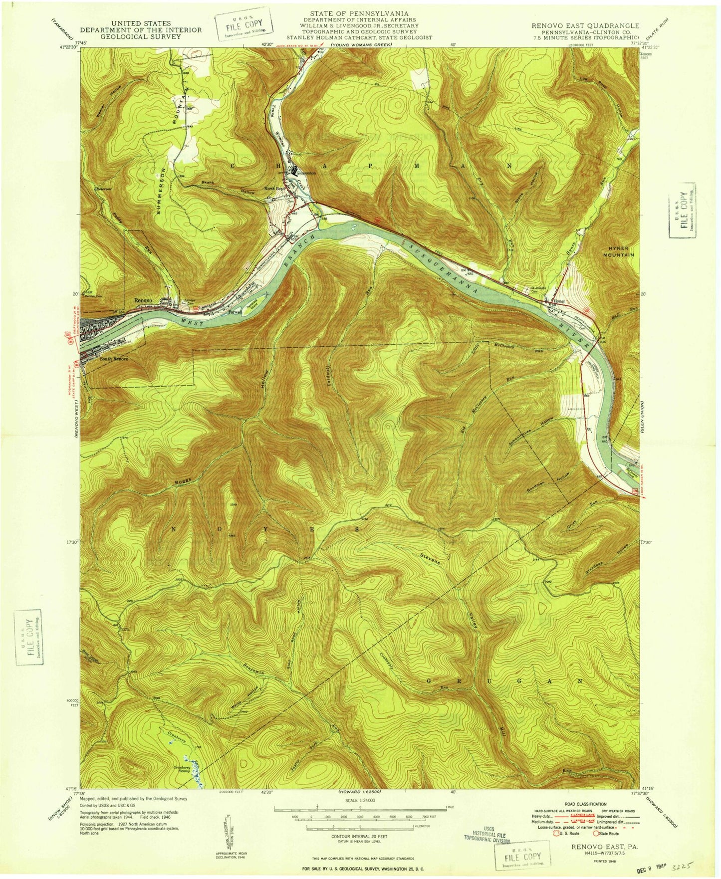
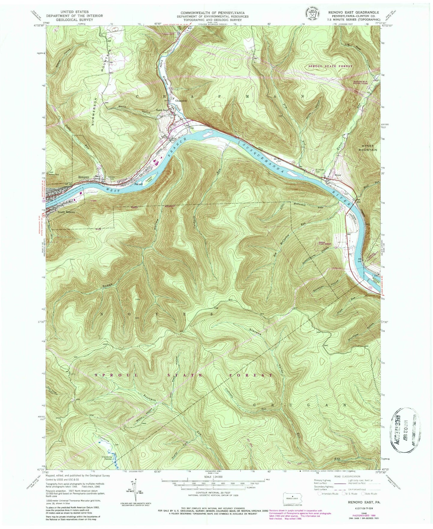
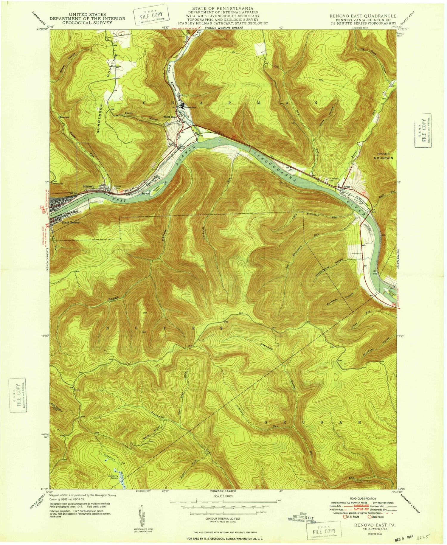
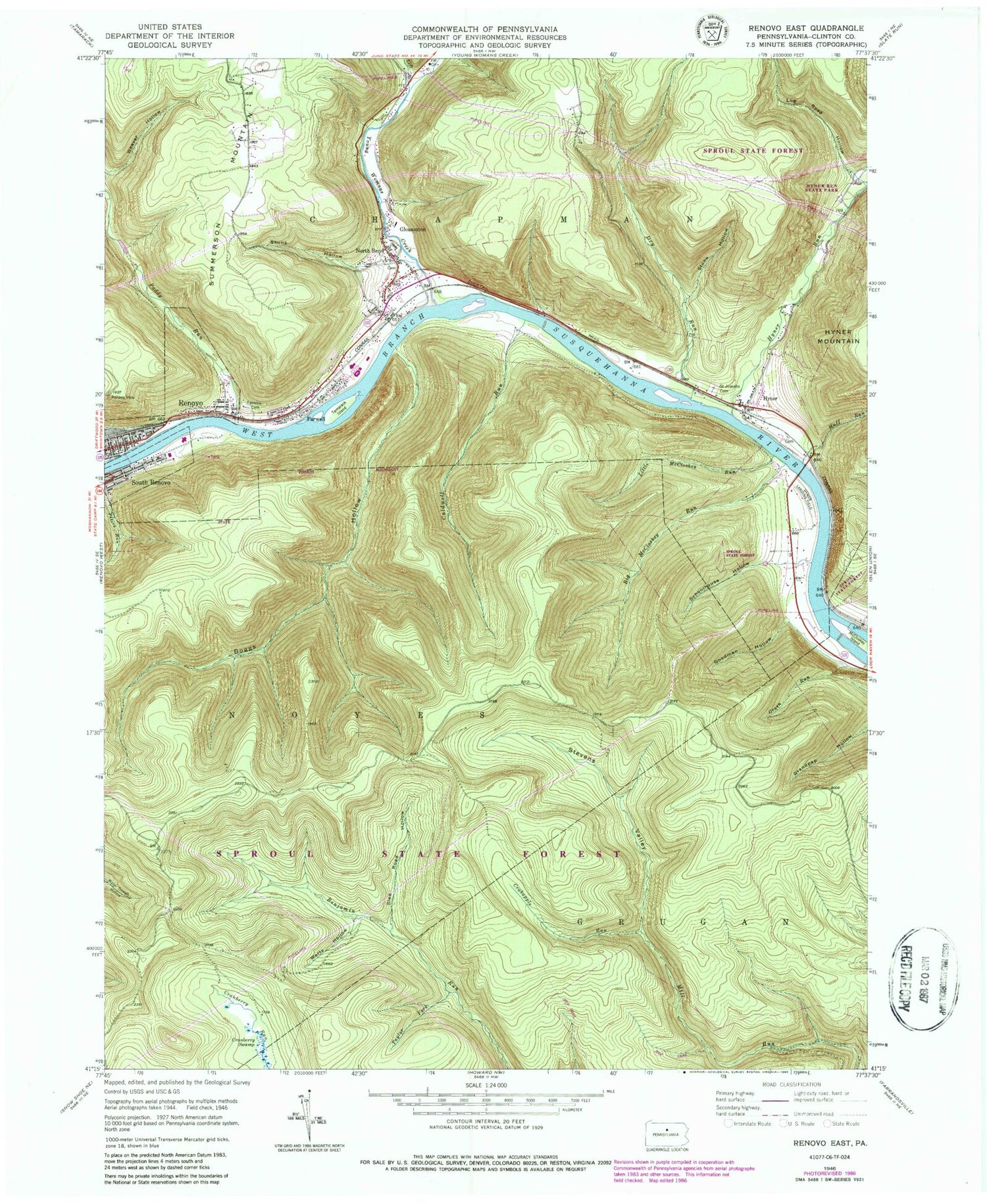
Classic USGS Renovo East Pennsylvania 7.5'x7.5' Topo Map
Couldn't load pickup availability
Historical USGS topographic quad map of Renovo East in the state of Pennsylvania. Typical map scale is 1:24,000, but may vary for certain years, if available. Print size: 24" x 27"
This quadrangle is in the following counties: Clinton.
The map contains contour lines, roads, rivers, towns, and lakes. Printed on high-quality waterproof paper with UV fade-resistant inks, and shipped rolled.
Contains the following named places: Big McCloskey Run, Boggs Hollow, Caldwell Run, Crabapple Run, Cranberry Swamp, Dry Run, Fairview Cemetery, Farwell, Goodman Hollow, Huff Run, Hyner, Little McCloskey Run, Log Road Hollow, McCloskey Island, Paddy Run, Renovo View, Saint Josephs Cemetery, Schoolhouse Hollow, Skunk Hollow, Sled Road Hollow, South Renovo, Stevens Valley, Stone Hollow, Tamarack Island, Taylor Fork, Weaver Hollow, Wertz Hollow, Hyner Run, Hyner Run State Park, Young Womans Creek, Left Branch Young Womans Creek, Cranberry Swamp Natural Area, Gleasonton, North Bend, Chuck Keiper Trail, Green Run Trail, Caldwell Run Trail, Little McCloskey Trail, Hyner Landing Field (historical), Green Run, Borough of South Renovo, Citizens Hose Company Station 28, Renovo Fire Department Station 29, Pennsylvania Department of Environmental Services Hyner Run Maintenance Division, Chapman Township Volunteer Fire Company Station 27, Bucktail Medical Center, North Bend Post Office, Hyner Cemetery, Farwell Census Designated Place, North Bend Census Designated Place


