MyTopo
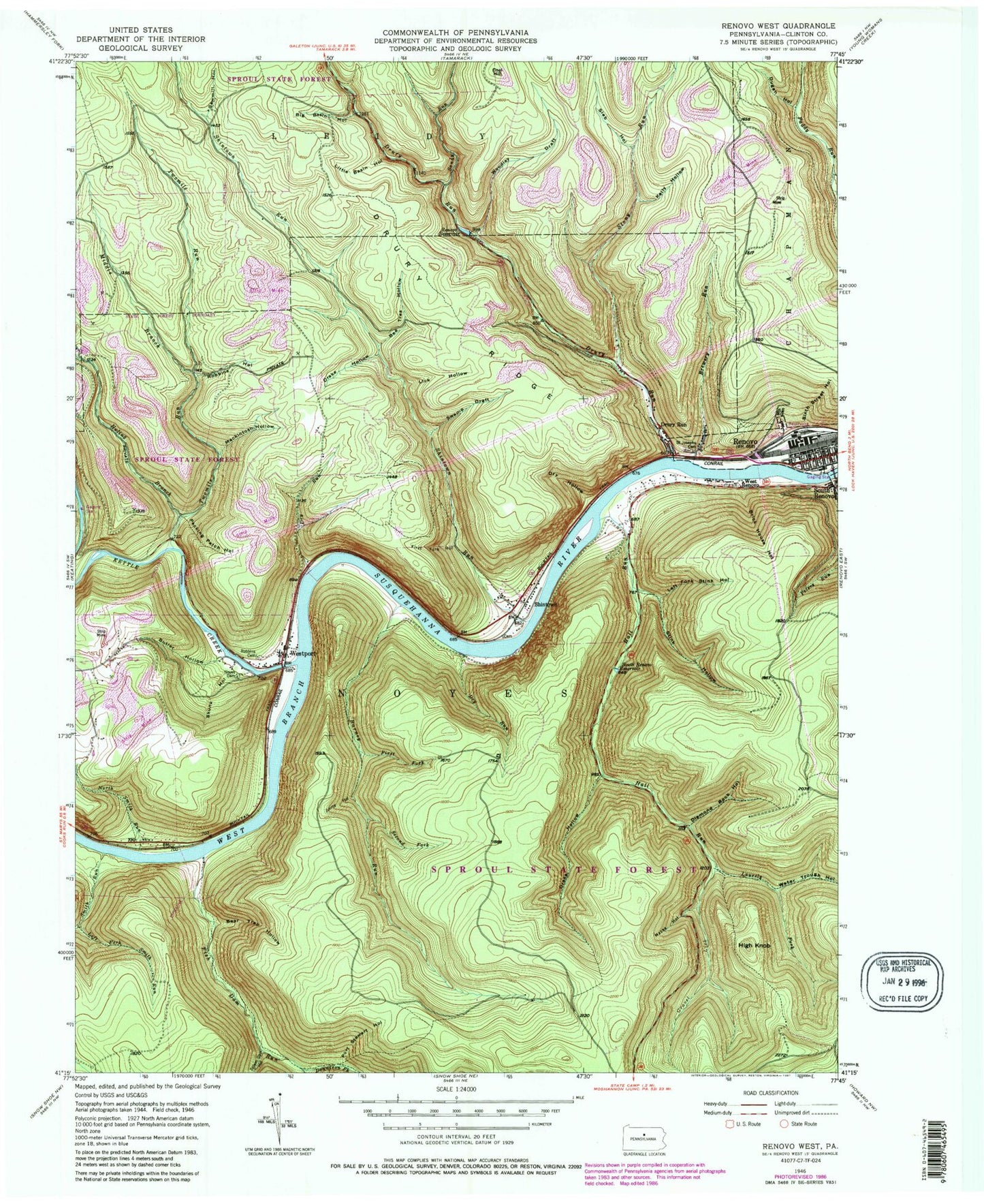
Classic USGS Renovo West Pennsylvania 7.5'x7.5' Topo Map
Couldn't load pickup availability
Historical USGS topographic quad map of Renovo West in the state of Pennsylvania. Typical map scale is 1:24,000, but may vary for certain years, if available. Print size: 24" x 27"
This quadrangle is in the following counties: Clinton.
The map contains contour lines, roads, rivers, towns, and lakes. Printed on high-quality waterproof paper with UV fade-resistant inks, and shipped rolled.
Contains the following named places: Barney Run, Bear Trap Hollow, Bee Tree Hollow, Big Basin Hollow, Brewery Run, Brick House Hollow, Butler Hollow, Coal Hill, Dennison Fork, Diamond Rock Hollow, Drake Hollow, Drake Hollow, Drury Ridge, Drury Run, Drury Run, Dry Hollow, Dry Run, Dry Run, Dugan Hollow, First Fork Barney Run, First Fork Hollow, Fish Dam Run, Hall Run, High Knob, Huling Branch, Jimmy Hollow, Kelly Hollow, Laurely Fork, Left Fork Smith Run, Left Fork Stink Hollow, Lick Hollow, Little Basin Hollow, Mackintosh Hollow, Macks Hollow, Middle Branch Twomile Run, North Smith Run, Noyes Cemetery, Pecking Patch Hollow, Peters Run, Port Stewart Hollow, Renovo, Renovo Reservoir, Robbins Cemetery, Robbins Hollow, Saint Josephs Cemetery, Sandy Run, Sawmill Hollow, Second Fork Barney Run, Shintown, Shintown Run, Short Bond Run, Sixth Street Hollow, Skunk Hollow, Slab Hollow, South Renovo Reservoir, Splash Dam Hollow, Stink Hollow, Swamp Draft, Water Trough Hollow, West Renovo, Westport, Woodley Draft, Gravel Lick, Mountain Glen, Smith Run, Stony Run, Twomile Run, Kettle Creek, Jesse Hall Picnic Area, Water Trough Trail, Gravel Lick Trail, Big Rock Vista, Drake Hollow Trail, Turnippatch Trail, Borough of Renovo, Township of Noyes, Department of Conservation and Natural Resources Sproul State Forest 10, Firemens Ambulance Service Team, Renovo Post Office, Westport Post Office, Shintown Methodist Cemetery, Caldwell Family Cemetery, Kepler Cemetery


