MyTopo
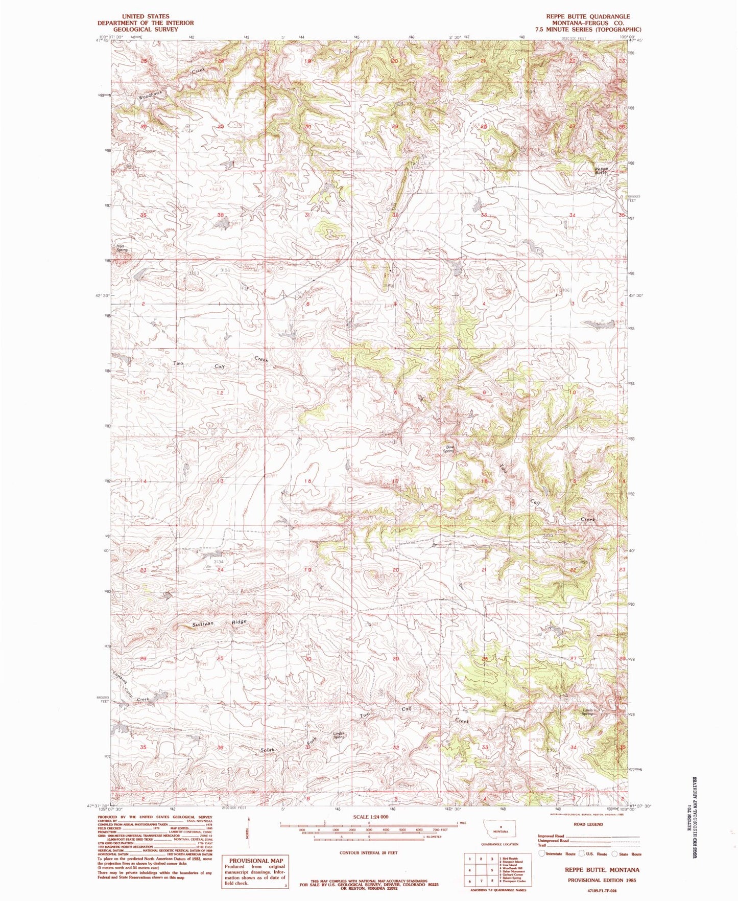
Classic USGS Reppe Butte Montana 7.5'x7.5' Topo Map
Regular price
$16.95
Regular price
Sale price
$16.95
Unit price
per
Couldn't load pickup availability
Historical USGS topographic quad map of Reppe Butte in the state of Montana. Map scale may vary for some years, but is generally around 1:24,000. Print size is approximately 24" x 27"
This quadrangle is in the following counties: Fergus.
The map contains contour lines, roads, rivers, towns, and lakes. Printed on high-quality waterproof paper with UV fade-resistant inks, and shipped rolled.
Contains the following named places: 22N20E02CBB_01 Well, Andeville Post Office, Bow Spring, Hess Dam, Lambing Camp Creek, Lewis Spring, Linder Spring, Reppe Butte, Sullivan Ridge, Two Calf School