MyTopo
Classic USGS Repton Alabama 7.5'x7.5' Topo Map
Couldn't load pickup availability
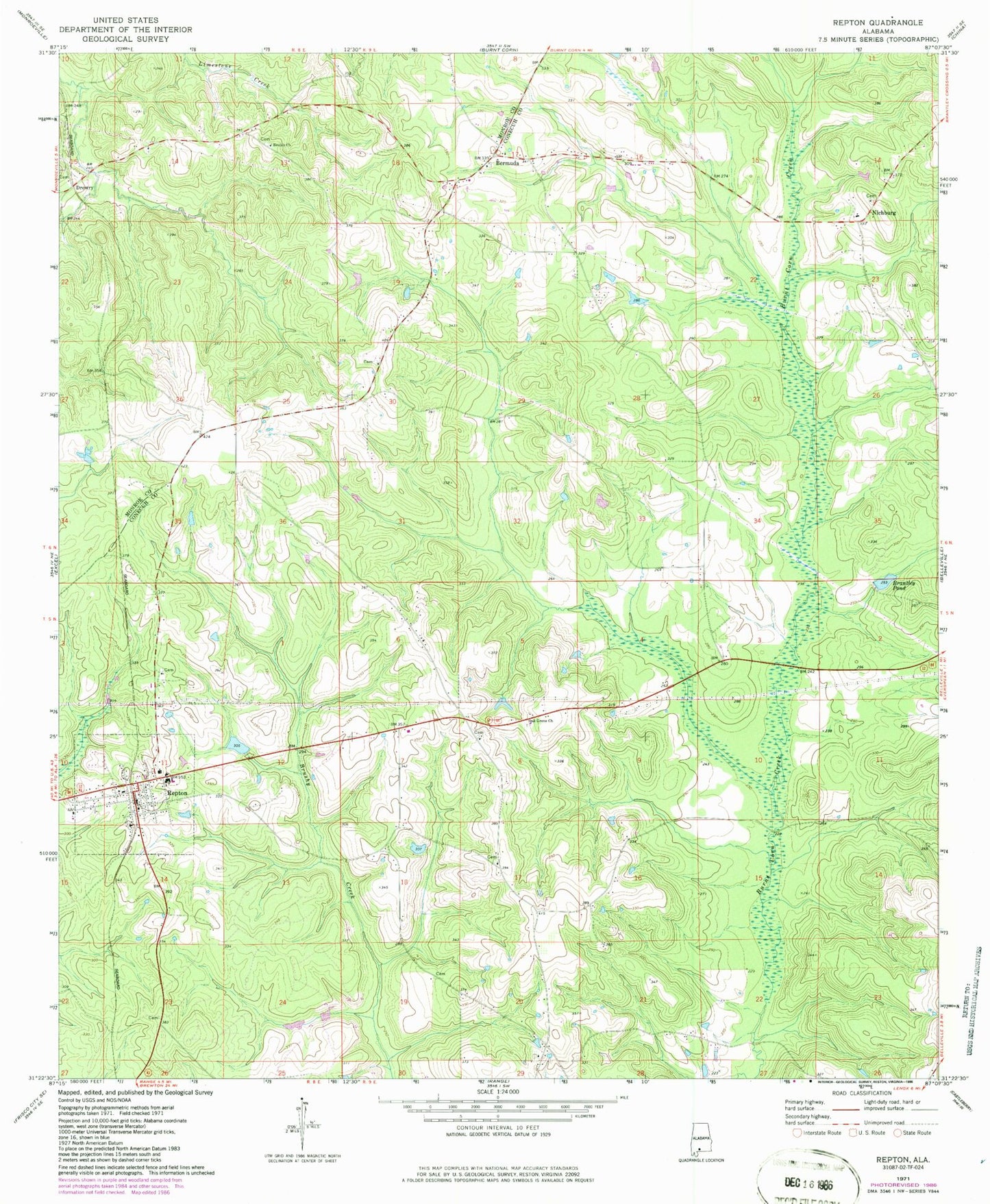
Historical USGS topographic quad map of Repton in the state of Alabama. Map scale may vary for some years, but is generally around 1:24,000. Print size is approximately 24" x 27"
This quadrangle is in the following counties: Conecuh, Monroe.
The map contains contour lines, roads, rivers, towns, and lakes. Printed on high-quality waterproof paper with UV fade-resistant inks, and shipped rolled.
Contains the following named places: Bermuda, Bermuda Cemetery, Bermuda Church, Bermuda School, Bermuda United Methodist Church, Bermuda Volunteer Fire Department, Bethesda Baptist Church, Bethesda Cemetery, Beulah Baptist Church, Beulah Cemetery, Brantley Dam, Brantley Pond, Langham, Limestone Faulk African Methodist Episcopal Church, Limestone Faulk Cemetery, Monroe Church, Morris Cemetery, Mount Rose High School, Mous, New Centennial Baptist Church, Nichburg, Nichburg Junior High School, Oak Grove Church, Oakdale Assembly of God Church, Oakdale Cemetery, Osierfield, Osierfield School, Owens Chapel, Repton, Repton Cemetery, Repton High School, Repton Post Office, Repton Volunteer Fire Department, Springhill Cemetery, Springhill Methodist Church, Town of Repton, W R Carter Dam, ZIP Code: 36475