MyTopo
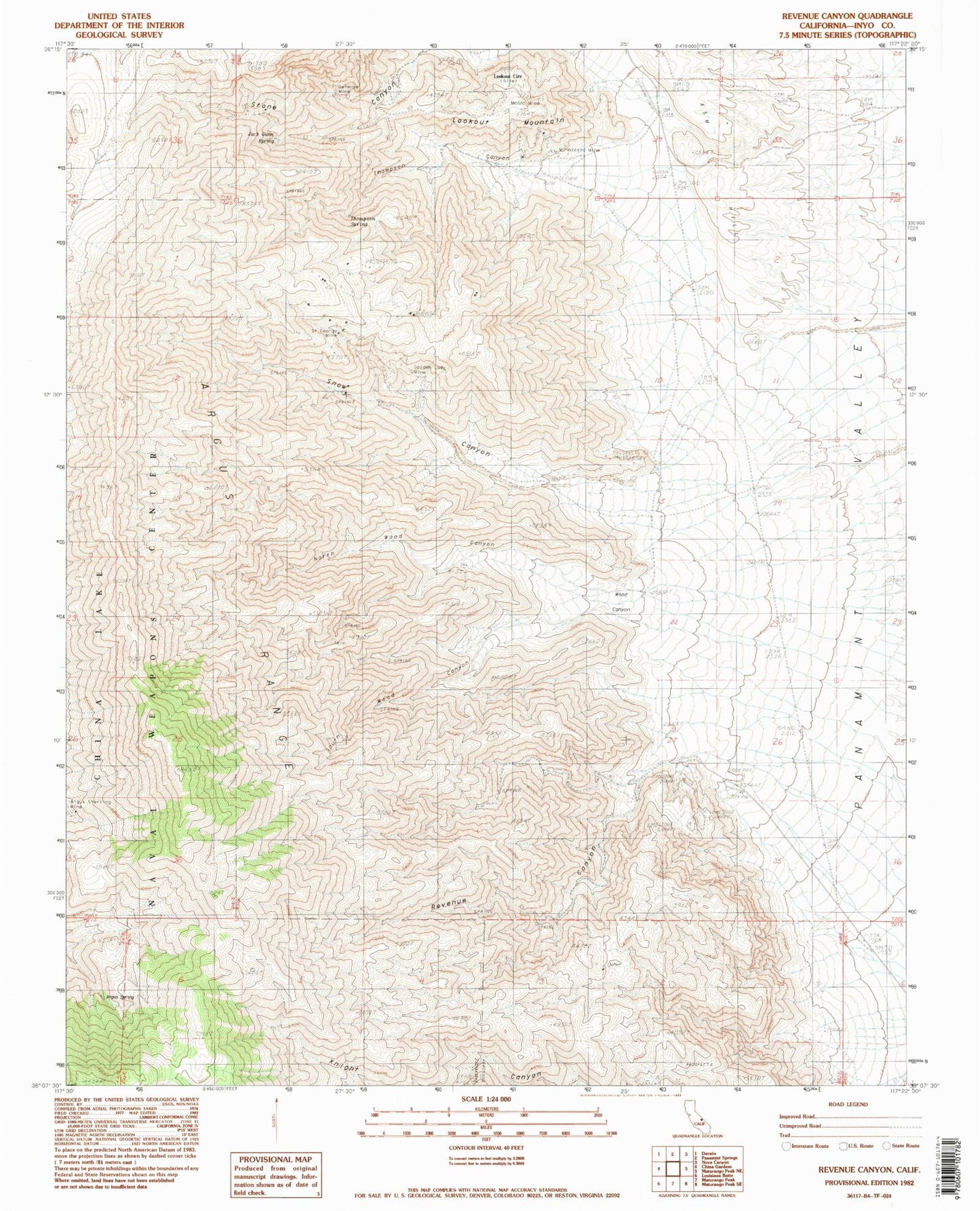
Classic USGS Revenue Canyon California 7.5'x7.5' Topo Map
Couldn't load pickup availability
Historical USGS topographic quad map of Revenue Canyon in the state of California. Typical map scale is 1:24,000, but may vary for certain years, if available. Print size: 24" x 27"
This quadrangle is in the following counties: Inyo.
The map contains contour lines, roads, rivers, towns, and lakes. Printed on high-quality waterproof paper with UV fade-resistant inks, and shipped rolled.
Contains the following named places: Argus Sterling Mine, Defense Mine, French Madam Spring, Golden Lady Mine, Jack Gunn Spring, Lookout Mountain, Minnietta Mine, Modoc Mine, Nadeau Trail, Revenue Canyon, Saint George Mines, Snow Canyon, Thompson Canyon, Thompson Spring, Wood Canyon, Argus Spring, Lookout City (historical), North Wood Canyon, South Wood Canyon, Cowshed Workings, Little Mack Mine