MyTopo
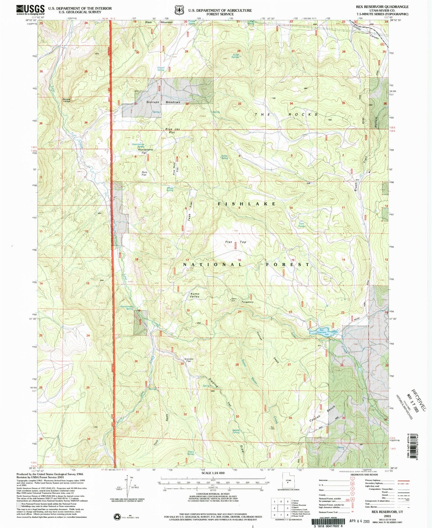
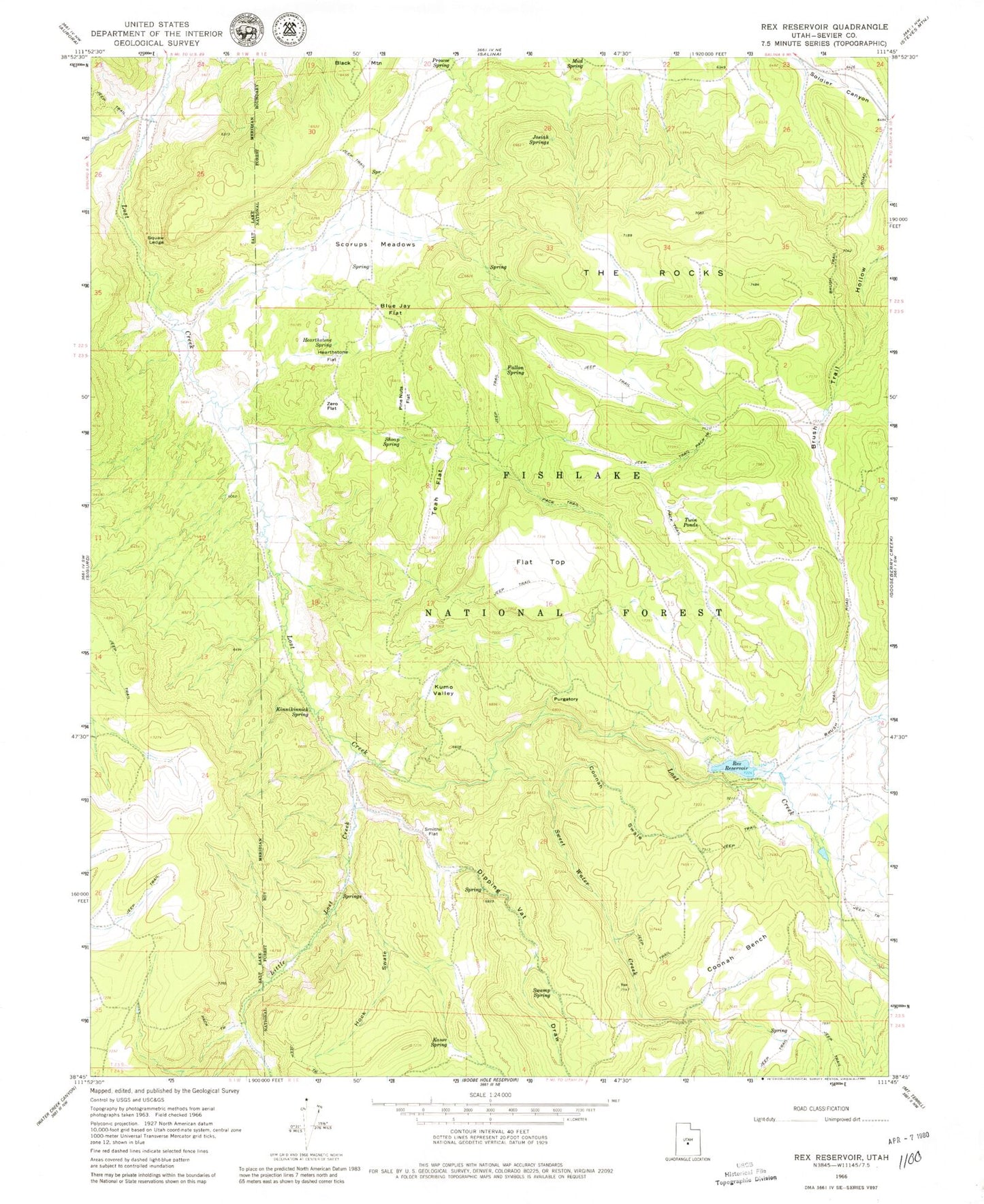
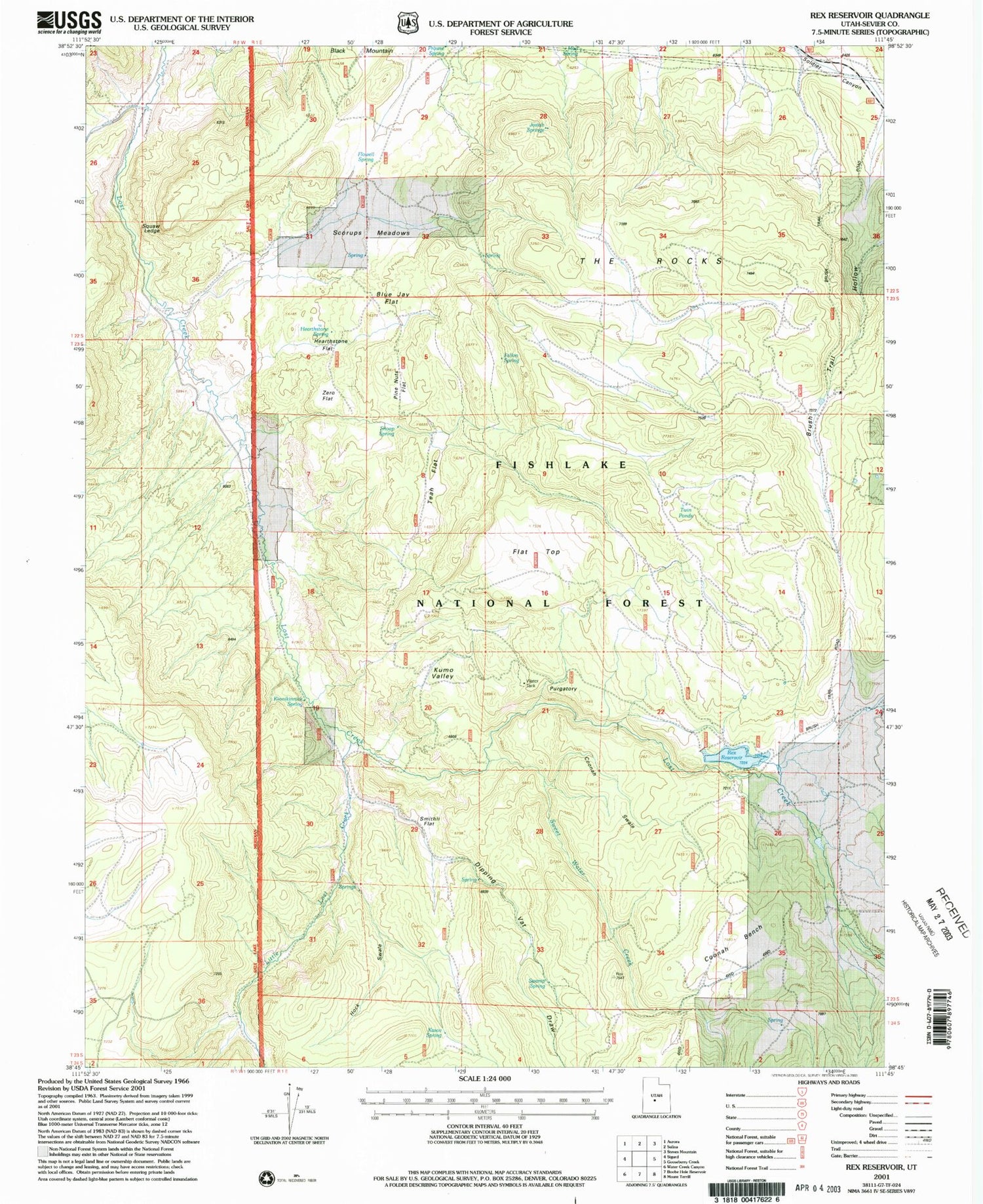
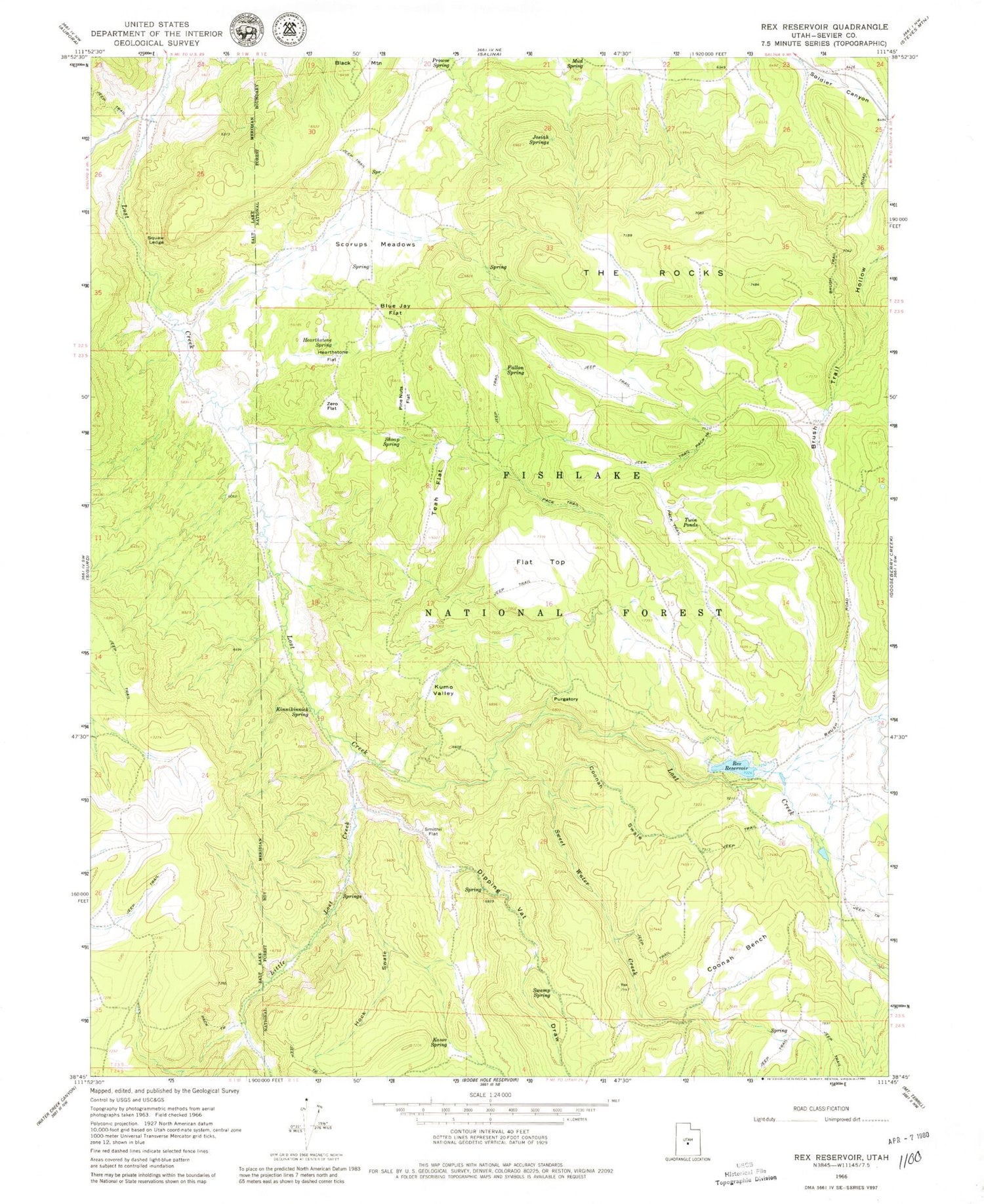
Classic USGS Rex Reservoir Utah 7.5'x7.5' Topo Map
Couldn't load pickup availability
Historical USGS topographic quad map of Rex Reservoir in the state of Utah. Map scale may vary for some years, but is generally around 1:24,000. Print size is approximately 24" x 27"
This quadrangle is in the following counties: Sevier.
The map contains contour lines, roads, rivers, towns, and lakes. Printed on high-quality waterproof paper with UV fade-resistant inks, and shipped rolled.
Contains the following named places: Blue Jay Flat, Coonah Bench, Coonah Swale, Dipping Vat Draw, Durfrey Homestead, Fallon Spring, Flat Top, Flowell Spring, Hearthstone Flat, Hearthstone Spring, Hock Swale, Josiah Springs, Kasov Spring, Kinnikinnick Spring, Kumo Valley, Little Lost Creek, Mud Spring, Pinenuts Flat, Prowse Spring, Purgatory, Rex Dam, Rex Reservoir, Scorups Meadows, Shoap Spring, Smithii Flat, Squaw Ledge, Swamp Spring, Sweet Water Creek, Teah Flat, The Rocks, Twin Ponds, Wine Creek, Zero Flat


