
MyTopo
Classic USGS Rexburg Idaho 7.5'x7.5' Topo Map
Couldn't load pickup availability
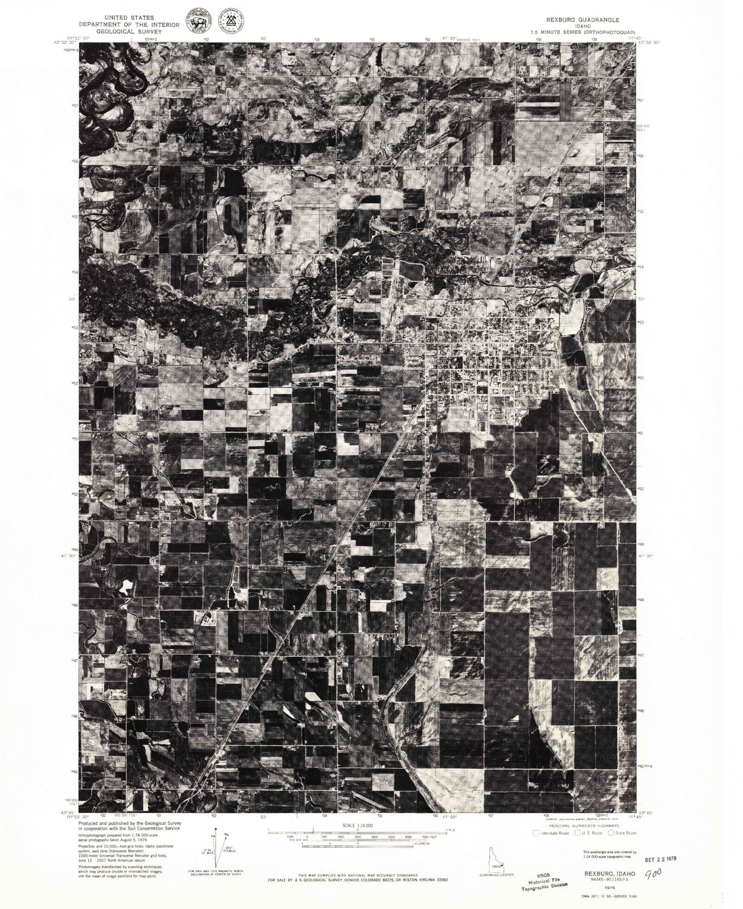
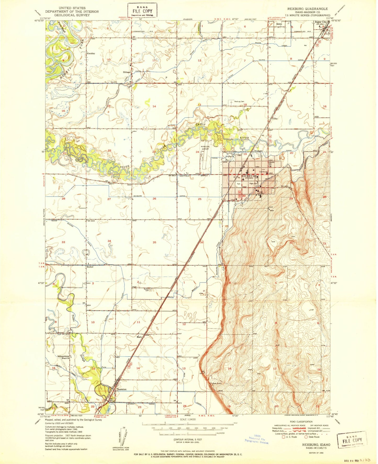
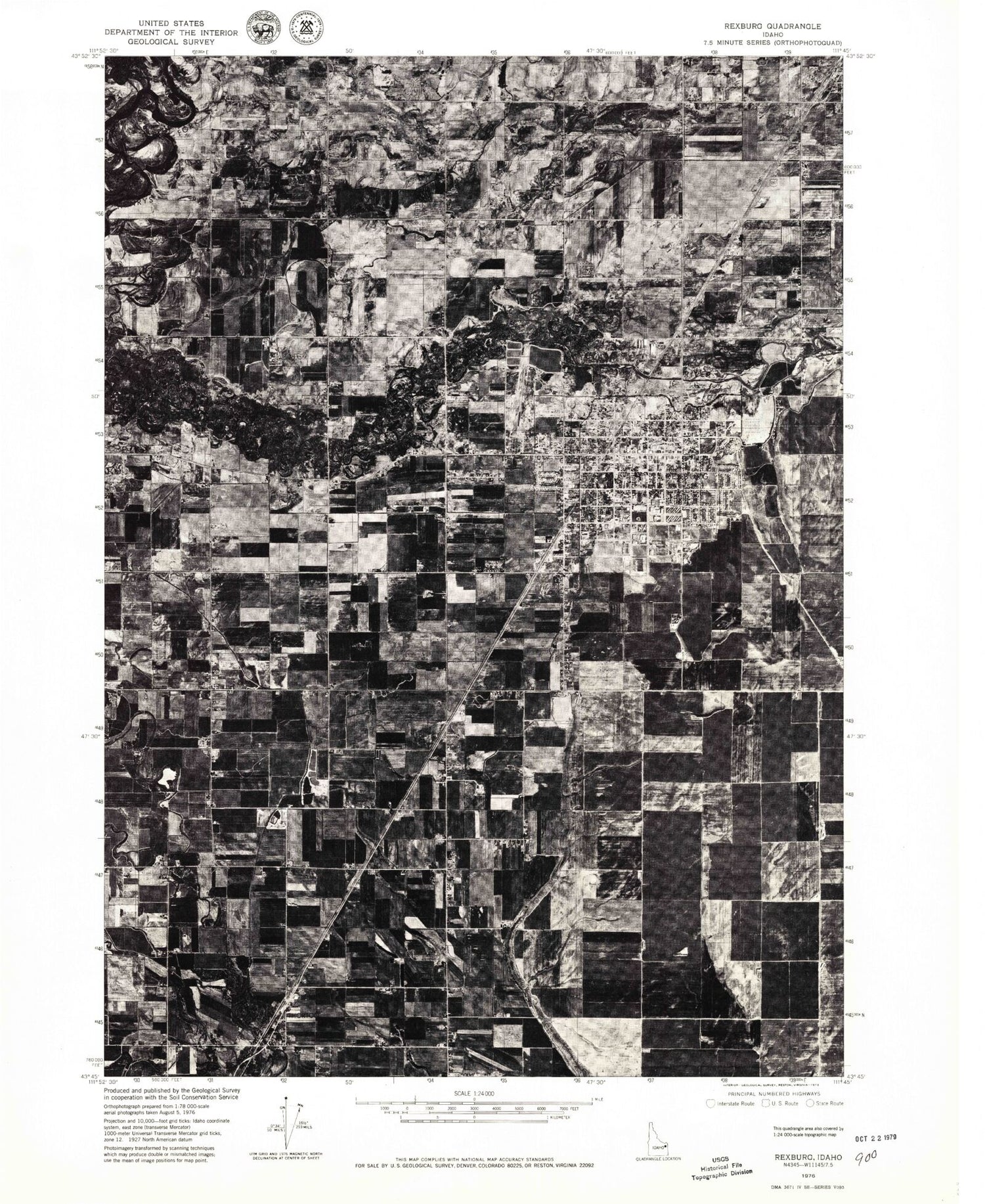
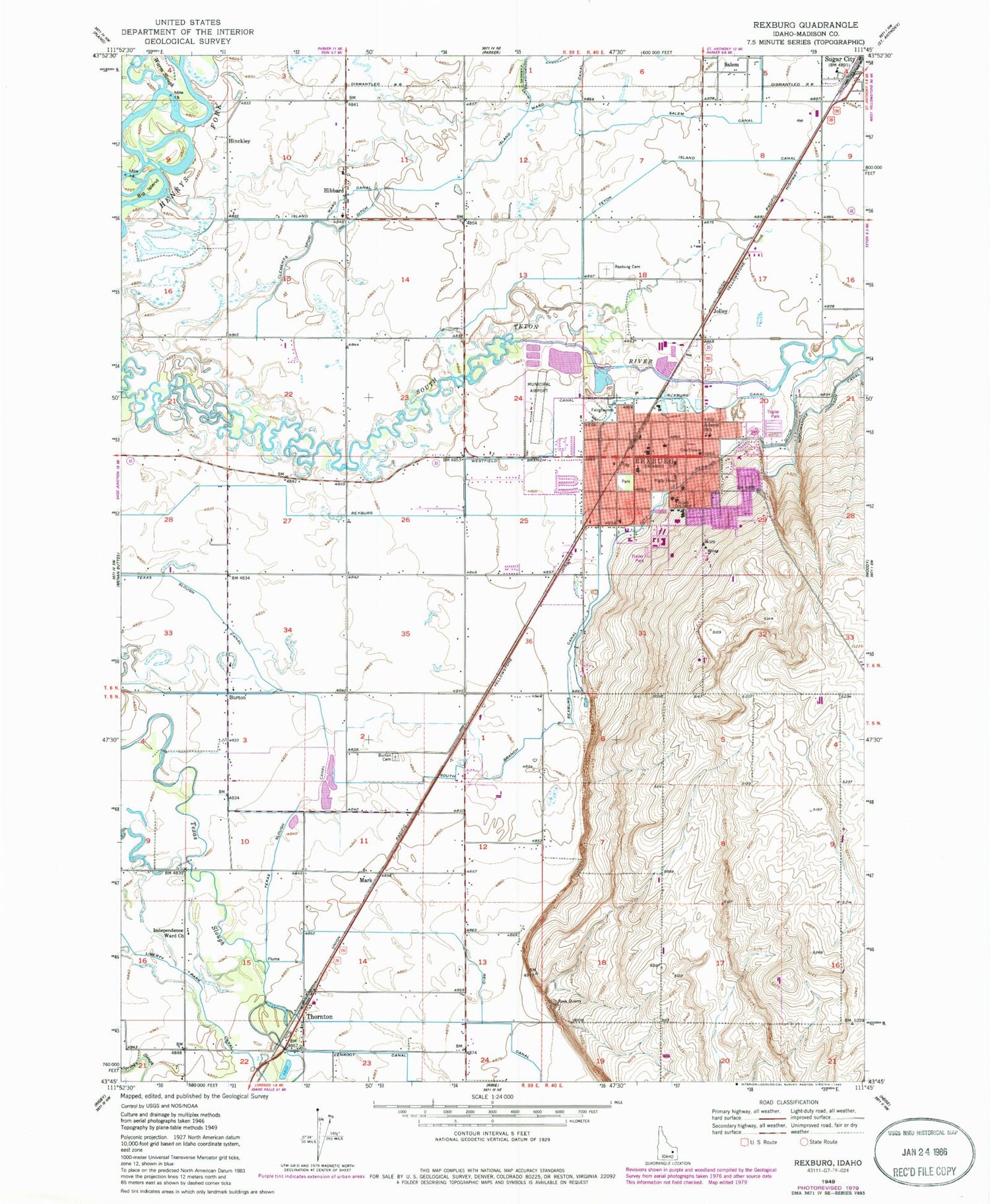
Historical USGS topographic quad map of Rexburg in the state of Idaho. Map scale may vary for some years, but is generally around 1:24,000. Print size is approximately 24" x 27"
This quadrangle is in the following counties: Madison.
The map contains contour lines, roads, rivers, towns, and lakes. Printed on high-quality waterproof paper with UV fade-resistant inks, and shipped rolled.
Contains the following named places: Adams Elementary School, Burton, Burton Cemetery, Burton Elementary School, City of Rexburg, City of Rexburg Ditch, Clements Spori Ditch, Hibbard, Hibbard Elementary School, Hinckley, Independence Ward Church, Island Ward Canal, Jolley, KADQ-FM (Rexburg), Kennedy Elementary School, KRXK-AM (Rexburg), KRXK-FM (Rexburg), Madison County Sheriff's Office, Madison Fire Department Station 1, Madison High School, Madison Junior High School, Madison Memorial Hospital, Mark, Reid Canal, Rexburg, Rexburg Canal, Rexburg Cemetery, Rexburg Division, Rexburg Police Department, Rexburg Post Office, Rexburg-Madison County Airport, Ricks College, Rigby Hospital, South Branch Rexburg Canal, Sugar City Division, Texas Slough Canal, Thornton, Warm Slough, Warm Slough Access Area, Washington Elementary School, Westfield Branch Canal, ZIP Codes: 83440, 83460