MyTopo
Classic USGS Rexford Montana 7.5'x7.5' Topo Map
Couldn't load pickup availability
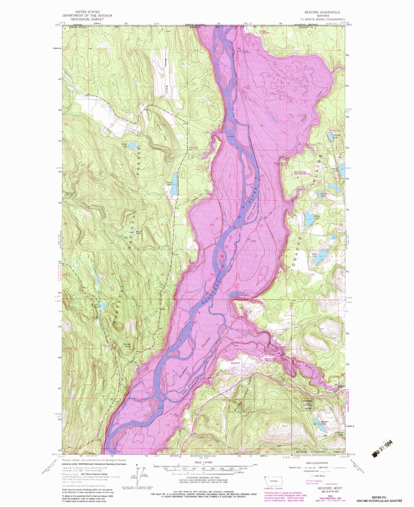
Historical USGS topographic quad map of Rexford in the state of Montana. Map scale may vary for some years, but is generally around 1:24,000. Print size is approximately 24" x 27"
This quadrangle is in the following counties: Lincoln.
The map contains contour lines, roads, rivers, towns, and lakes. Printed on high-quality waterproof paper with UV fade-resistant inks, and shipped rolled.
Contains the following named places: 36N28W01ADC_01 Well, 36N28W11AADB01 Well, 37N27W06CABA01 Well, 37N27W06CB__01 Well, 37N27W06CBAA01 Well, 37N27W07CCD01_ Well, 37N27W21CBAB01 Well, 37N27W28CBBB01 Well, 37N28W13CABB01 Well, 37N28W13CADB01 Well, Alkali Lake, Arnolds Pond, Baney Lake, Cato, Dodge Creek, EZ-K RV Park, Fourmile Spring, Gateway, Gateway Campground, Gateway Post Office, Gateway School, Green Basin, Grob Lake, Haydan, Hayden Post Office, Hayden School, Hoodoos Point of Interest, Hunter Point, Kins Island, Kootenai Flats, Kootenai Post, Lake Livermore, Madden Lake, Mariners Haven, Melvin Draw, Murray Creek, Murray Island, Murray Springs State Fish Hatchery, O'Brien Lake, Olsen Hill, Poverty Creek, Rexford, Rexford Bench Campground, Rexford Post Office, Riverside, Riverside Post Office, Rush Lake, Sales Lake, Sand Hill, Sink Creek, Sophie Creek, Sophie lake Recreation Site, Sullivan Creek, Swisher Lake, Swisher Lake Campground, Tobacco Plains Boat Ramp, Tobacco River, Tooley Lake, Tooley Lake School, Town of Rexford, West Kootenai Census Designated Place, Whites Island, Whites Landing, Young Creek


