MyTopo
Classic USGS Rexton Michigan 7.5'x7.5' Topo Map
Couldn't load pickup availability
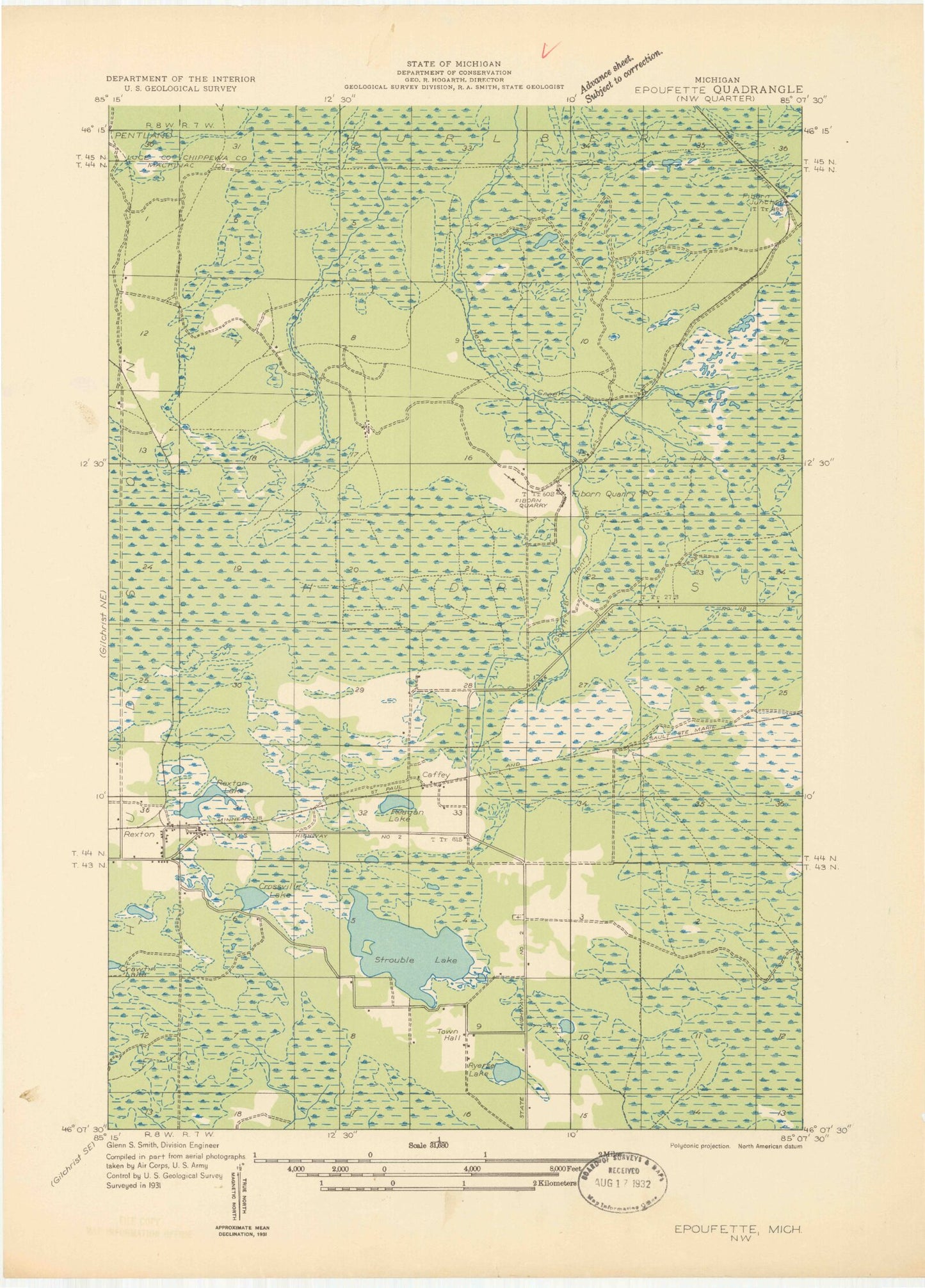
Historical USGS topographic quad map of Rexton in the state of Michigan. Typical map scale is 1:24,000, but may vary for certain years, if available. Print size: 24" x 27"
This quadrangle is in the following counties: Chippewa, Luce, Mackinac.
The map contains contour lines, roads, rivers, towns, and lakes. Printed on high-quality waterproof paper with UV fade-resistant inks, and shipped rolled.
Contains the following named places: Anguilm Creek, Caffey Cemetery, Crossville Lake, Fiborn Pond, Little Lake, Nelson Creek, Reagan Lake, Rexton, Rexton Lake, Ryerse Lake, Strouble Lake, Tucker Lake, Caffey, Caffey Corner, Township of Hendricks, Rexton Station, Rexton Post Office (historical), Fiborn Quarry Post Office (historical), Caffey Station, Caffey Post Office (historical), Rexton Mennonite Church