MyTopo
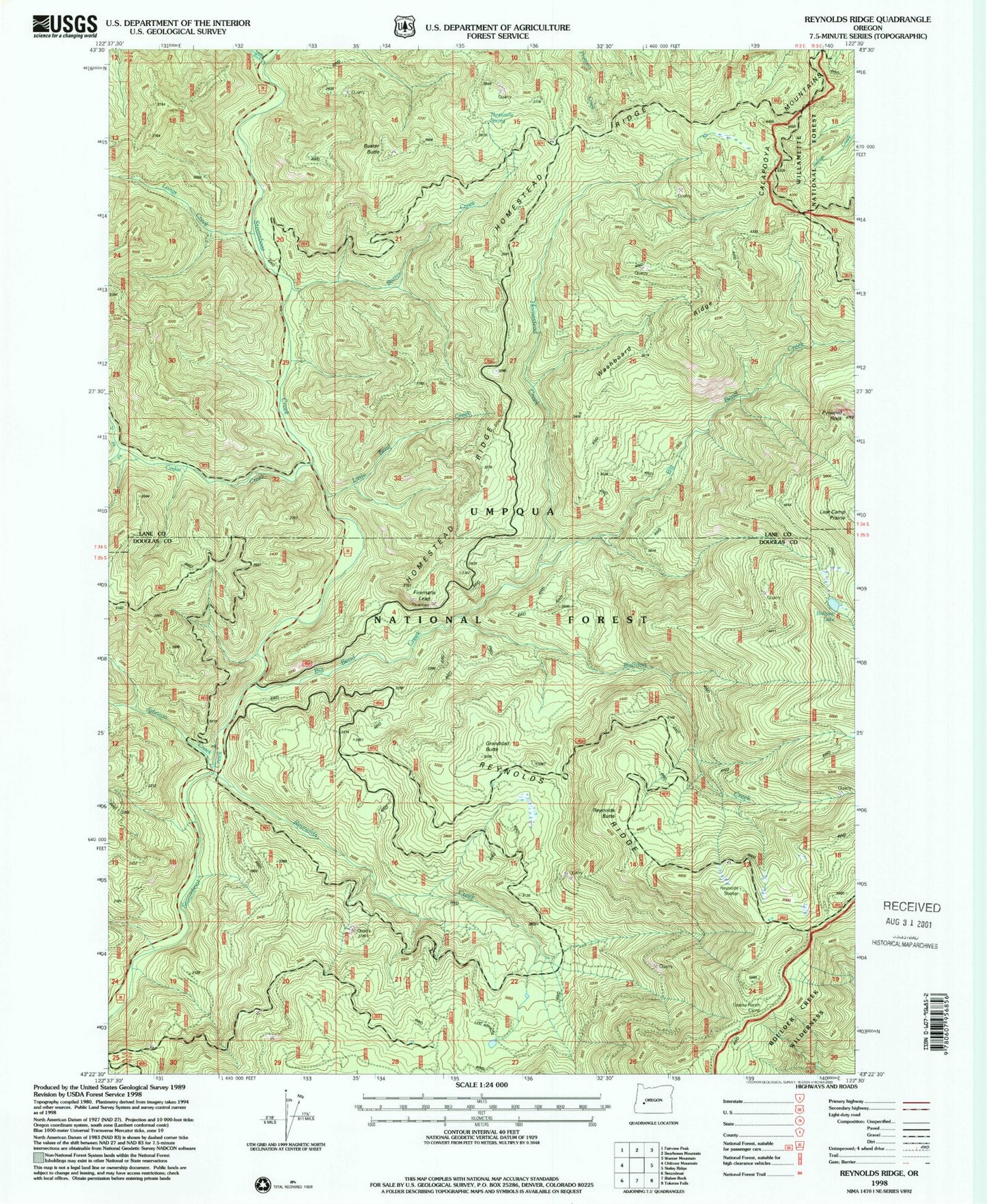
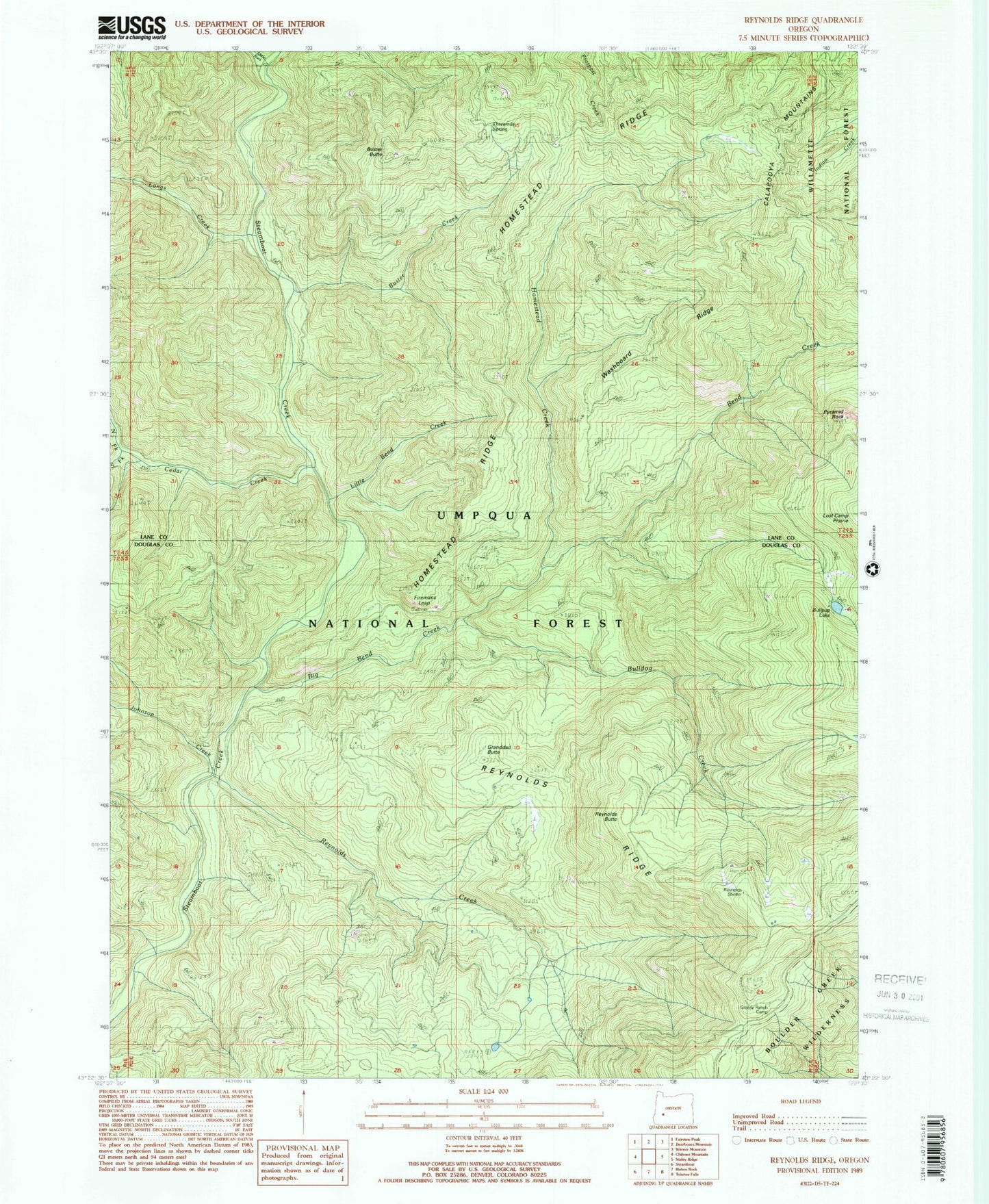
Classic USGS Reynolds Ridge Oregon 7.5'x7.5' Topo Map
Couldn't load pickup availability
Historical USGS topographic quad map of Reynolds Ridge in the state of Oregon. Map scale may vary for some years, but is generally around 1:24,000. Print size is approximately 24" x 27"
This quadrangle is in the following counties: Douglas, Lane.
The map contains contour lines, roads, rivers, towns, and lakes. Printed on high-quality waterproof paper with UV fade-resistant inks, and shipped rolled.
Contains the following named places: Big Bend Creek, Bulldog Creek, Bullpup Lake, Buster Butte, Buster Creek, Buster Spring, Cedar Creek, Cedar Spring, City Creek, City Creek Shelter, Firemans Leap, Granddad Butte, Grassy Ranch Camp, Grassy Ranch Trail, Homestead Camp, Homestead Creek, Homestead Ridge, Illahee Spring, Johnson Camp, Johnson Creek, Little Bend Creek, Little Rock Creek, Longs Creek, Lost Camp Prairie, Midnight Spring, North Fork Cedar Creek, Pyramid Rock, Reynolds Butte, Reynolds Creek, Reynolds Ridge, Reynolds Ridge Lookout, Reynolds Shelter, Slim Chance Campground, South Fork Cedar Creek, Threemile Spring, Washboard Ridge, Yellowjacket Trail