MyTopo
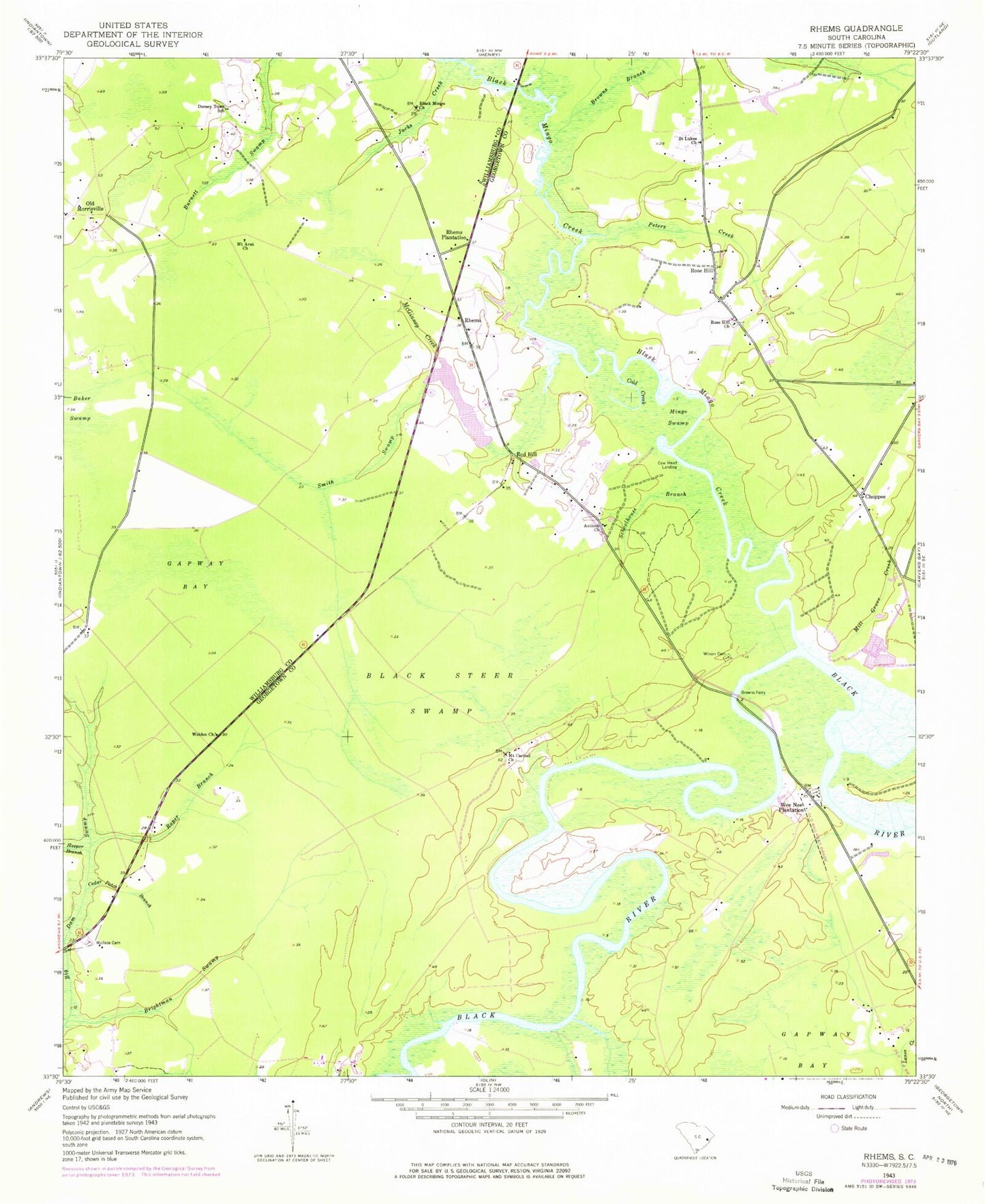
Classic USGS Rhems South Carolina 7.5'x7.5' Topo Map
Couldn't load pickup availability
Historical USGS topographic quad map of Rhems in the state of South Carolina. Typical map scale is 1:24,000, but may vary for certain years, if available. Print size: 24" x 27"
This quadrangle is in the following counties: Georgetown, Williamsburg.
The map contains contour lines, roads, rivers, towns, and lakes. Printed on high-quality waterproof paper with UV fade-resistant inks, and shipped rolled.
Contains the following named places: Antioch Church, Black Steer Swamp, Brightman Swamp, Browns Branch, Cedar Patch Branch, Choppee, Cold Creek, Dorsey Town School, Jacks Creek, Mingo Swamp, Mount Carmel Church, Peters Creek, Rhems Plantation, Roper Branch, Rose Hill, Rose Hill Church, Sleeper Branch, Wallace Cemetery, Wee Nee Plantation, Weldon Church, Wilson Cemetery, Rhems, Cow Head Landing, Red Hill, Barnes School (historical), Browns Ferry Bridge, Browns Ferry Park, Choppee School (historical), Easterlin Plantation, Francis Marion Estates, Mount Pleasant Plantation, Munlin Plantation, Red Hill Church, Saint Lukes Park, Saint Lukes School (historical), Tara Hall, Willie Towne, Browns Ferry (historical), Millgrove Meeting House (historical), South Carolina Noname 45001 D-3101 Dam, Rames Farm Pond, Beach Swamp Church, Black Mingo Cemetery, Dorseytown, Mount Arat School (historical), Saint Johns Church, Willtown (historical), Mill Grove Creek, Black Mingo Church, Black Mingo Creek, Browns Ferry, Mount Arat Church, Saint Lukes Church, Schoolhouse Branch, Smith Swamp, Georgetown Fire Department Station 13, Tara Hall School


