MyTopo
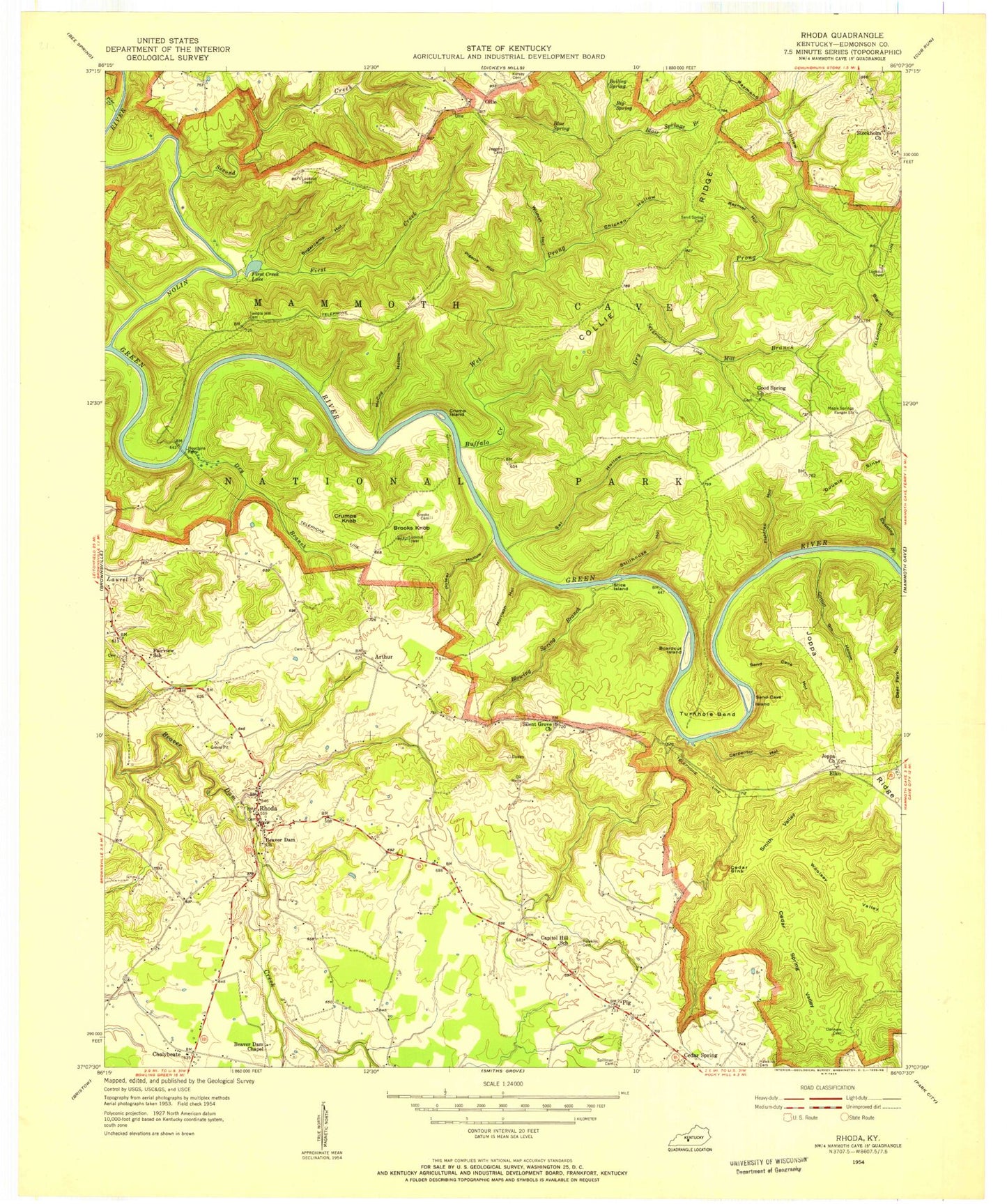
Classic USGS Rhoda Kentucky 7.5'x7.5' Topo Map
Couldn't load pickup availability
Historical USGS topographic quad map of Rhoda in the state of Kentucky. Typical map scale is 1:24,000, but may vary for certain years, if available. Print size: 24" x 27"
This quadrangle is in the following counties: Edmonson.
The map contains contour lines, roads, rivers, towns, and lakes. Printed on high-quality waterproof paper with UV fade-resistant inks, and shipped rolled.
Contains the following named places: Beaver Dam Chapel, Beaver Dam Church, Big Spring, Blair Spring Branch, Blowing Spring Branch, Blue Spring, Boardcut Island, Boiling Spring, Brooks Knob, Buffalo Creek, Carpenter Hollow, Cedar Sink, Cedar Spring Valley, Chalybeate, Chicken Hollow, Collie Ridge, Cotton Gin Hollow, Crump Island, Crumps Knob, Dry Branch, Dry Prong Buffalo Creek, Fairview, First Creek, First Creek Lake, Fishtrap Hollow, Good Spring Church, Houchins Ferry, Jappa Ridge, Joppa Church, Maple Springs Ranger Station (historical), McCoy Hollow, Mill Branch, Morrison Hollow, Nolin River, Pigeon Hollow, Pine Creek, Poteet Hollow, Raymer Hollow, Raymond Hollow, Rhoda, Running Branch, Sal Hollow, Sand Cave Hollow, Sand Cave Island, Sand Spring Cemetery, Second Creek, Silent Grove Baptist Church, Smith Valley, Stice Island, Stillhouse Hollow, Stockholm Church, Sugarcamp Hollow, Temple Hill Cemetery, Temple Hill Church (historical), Turnhole Bend, Wet Prong Buffalo Creek, Wildcat Hollow, Woolsey Valley, Mammoth Cave National Park, Good Spring, Sugarcamp Hollow, Arthur, Elko, Pig, Edmonson County, Good Spring Baptist Church Cemetery, Silent Grove Baptist Church Cemetery, Maple Springs Group Campground, Turnhole Spring, Brownsville Division, Mammoth Cave Division, Stockholm, Chalybeate Fire Department, Blowing Spring, Double Sink, Davis - Miles Cemetery, Jaggers Cemetery, Joppa Cemetery


