MyTopo
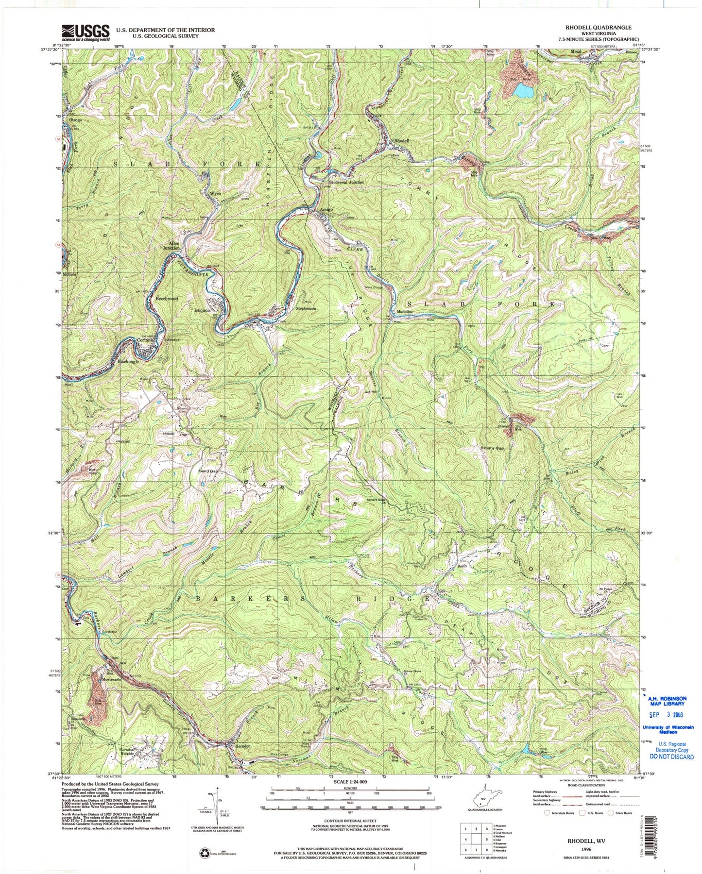
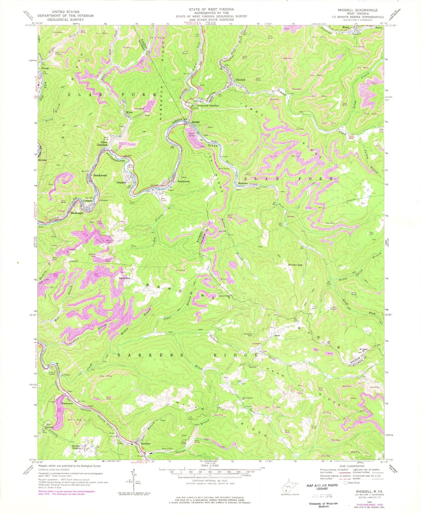
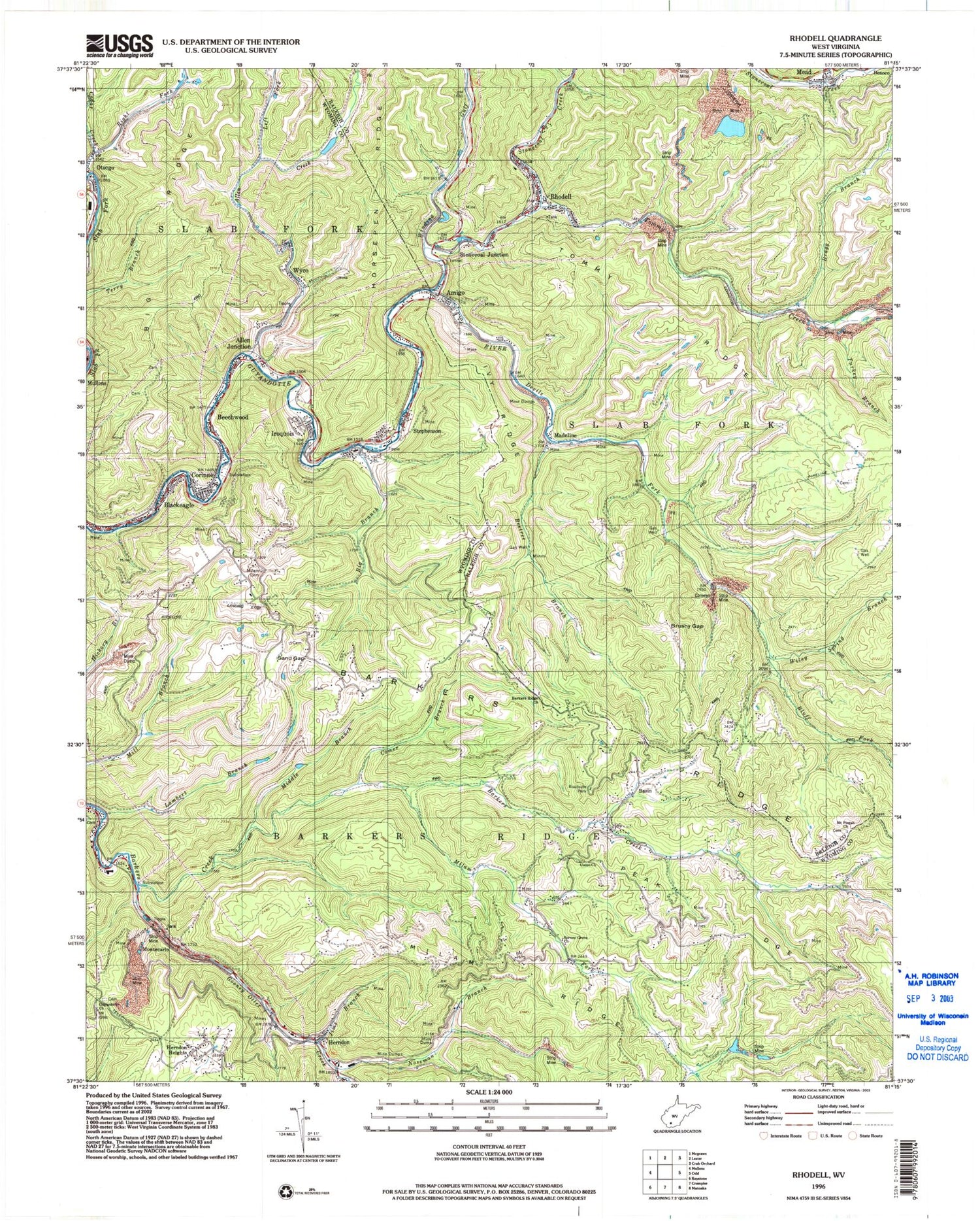
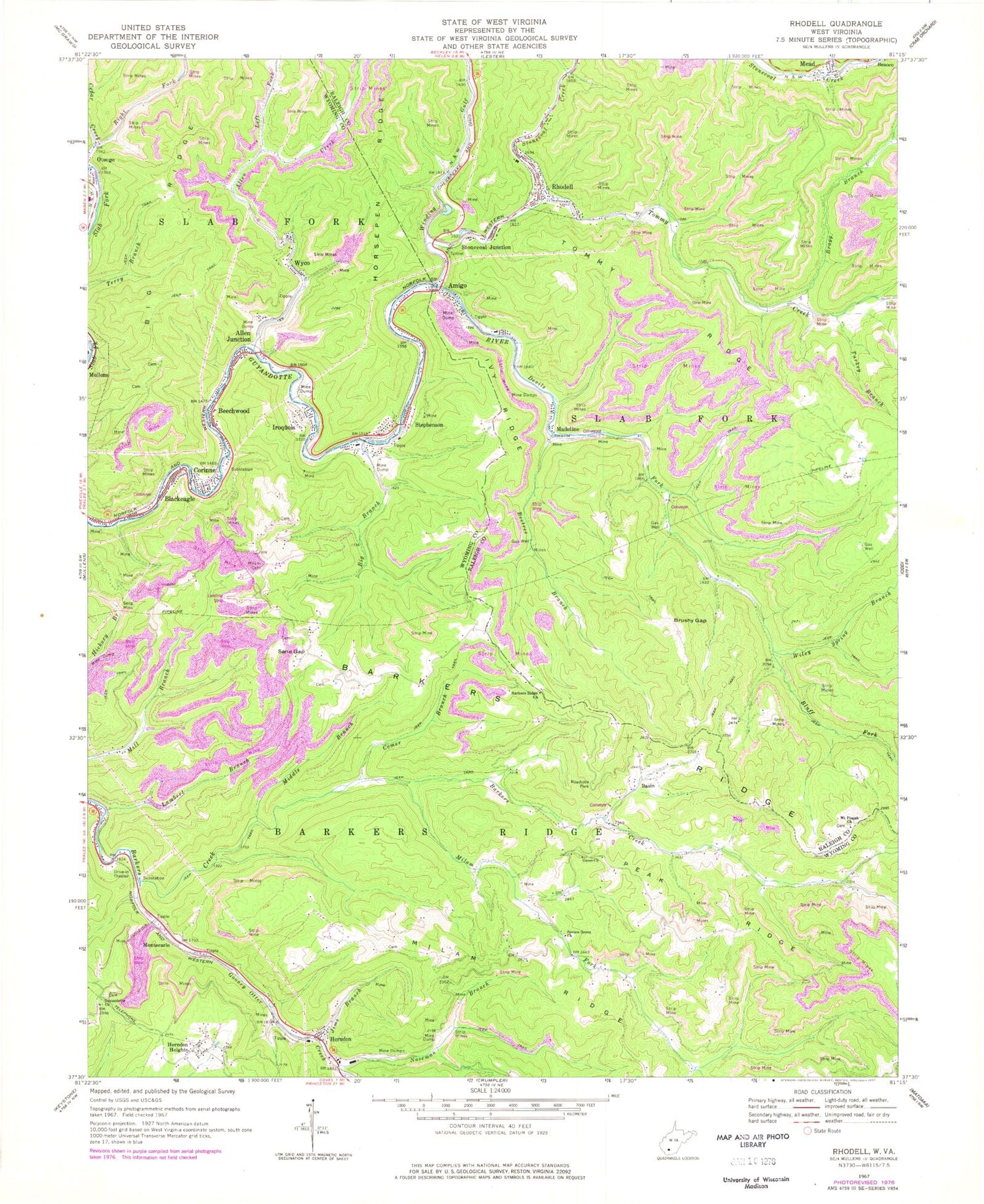
Classic USGS Rhodell West Virginia 7.5'x7.5' Topo Map
Couldn't load pickup availability
Historical USGS topographic quad map of Rhodell in the state of West Virginia. Map scale may vary for some years, but is generally around 1:24,000. Print size is approximately 24" x 27"
This quadrangle is in the following counties: Mercer, Raleigh, Wyoming.
The map contains contour lines, roads, rivers, towns, and lakes. Printed on high-quality waterproof paper with UV fade-resistant inks, and shipped rolled.
Contains the following named places: Allen Creek, Allen Junction, Allen Junction Church of God, Allen Junction Post Office, Amigo, Barkers Ridge, Barkers Ridge Church, Basin, Basin Post Office, Beechwood, Beetree Branch, Big Branch, Blackeagle, Bluff Fork, Bragg Branch, Brushy Gap, Comer Branch, Corinne, Corinne Census Designated Place, Corinne Post Office, Devils Fork, Gooney Otter Creek, Guyandotte Church, Herndon, Herndon Consolidated Elementary and Middle School, Herndon Heights, Herndon High School, Hickory Branch, Iroquois, Ivy Ridge, Jims Branch, Lambert Branch, Left Fork Allen Creek, Lefthand Fork Tommy Creek, London Mills Spring, Madeline, Mead, Middle Branch Barkers Creek, Mike Ferrell Field, Milam Cemetery, Milam Fork, Milam Ridge, Montecarlo, Mount Pisgah Church, Noseman Branch, Otsego Bible Chapel, Peak Ridge, Rhodell, Rhodell Police Department, Rhodell Post Office, Rhodell Volunteer Fire Department, Right Fork Cedar Creek, Roy M Lilly Memorial Bridge, Sand Gap, Spruce Grove Church, Stephenson, Stephenson Post Office, Stonecoal Creek, Stonecoal Junction, Tommy Creek, Tommy Ridge, Town of Rhodell, Turkey Branch, Union Church, Wiley Spring Branch, Winding Gulf, Wyco, Wyco Dam, Wyco Post Office, ZIP Codes: 24726, 25810, 25811, 25826, 25915, 25928


