MyTopo
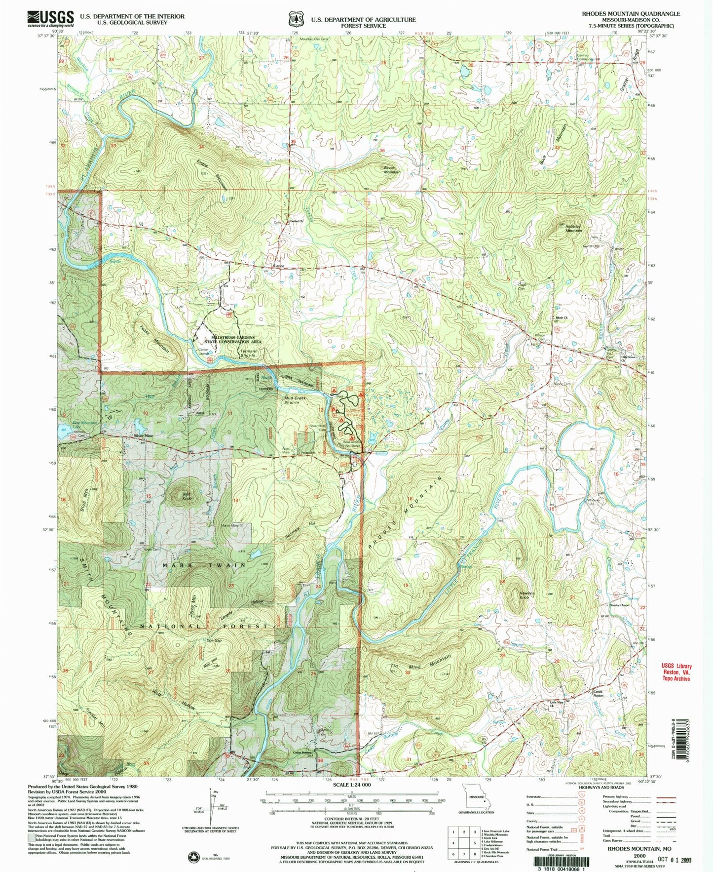
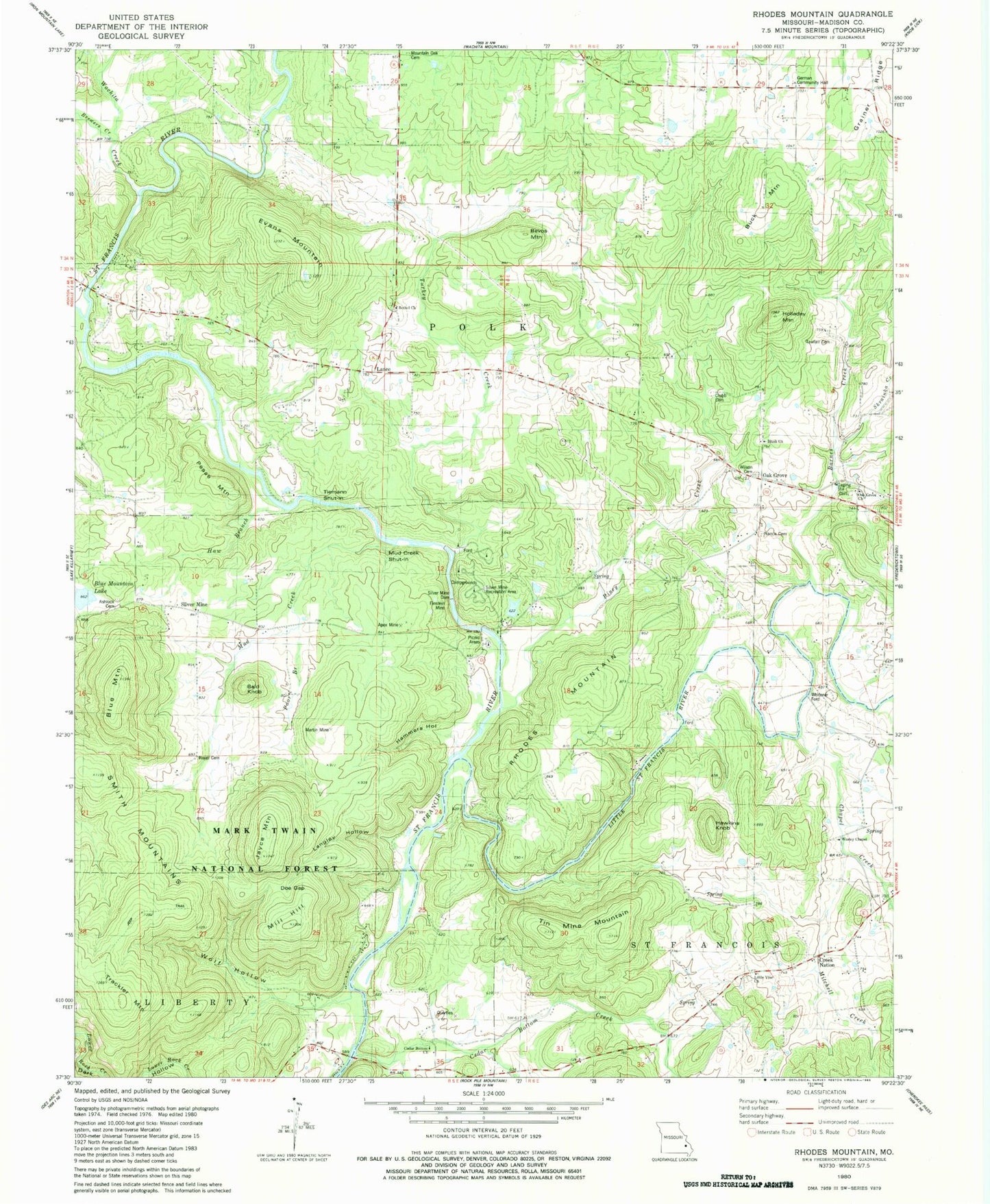
Classic USGS Rhodes Mountain Missouri 7.5'x7.5' Topo Map
Couldn't load pickup availability
Historical USGS topographic quad map of Rhodes Mountain in the state of Missouri. Typical map scale is 1:24,000, but may vary for certain years, if available. Print size: 24" x 27"
This quadrangle is in the following counties: Madison.
The map contains contour lines, roads, rivers, towns, and lakes. Printed on high-quality waterproof paper with UV fade-resistant inks, and shipped rolled.
Contains the following named places: Tin Mountain, Silver Mountain, Blush, Oak Grove Church (historical), Silver Mines School (historical), Lance, Oak Grove School (historical), Skrainka Creek, Trackler Mountain, Wolf Hollow, Langley Hollow, Pease Mountain, Whitener Ford, Martin Mine, Silver Mine Dam, Einstein Mine, Griffin Cemetery, Ashlock Cemetery, Bald Knob, Barnes Creek, Bethel Church, Bevos Mountain, Blue Mountain, Blush Church, Braddy Ford (historical), Brewers Creek School, Buck Mountain, Camp Talahi (historical), Cedar Bottom Creek, Cedar Bottom School, Creek Nation, Evans Mountain, German School, Hawkins Knob, Holladay Mountain, Little Vine Church, Chapel Creek, Mitchell Creek, Mountain Oak School, Royer Cemetery, Nance Cemetery, Oak Grove, Rhodes Mountain, Piney Creek, Piney School, Sebastian School, Silver Mine, Smith Mountains, Stouts Creek, Tin Mine Mountain, Turkey Creek, Wesley Chapel, Clubb Cemetery, Wilson - Graham Cemetery, Cedar Bottom Church, Little Vine School, Oak Grove Church, Mill Hill, Doe Gap, Jayce Mountain, Hammers Hollow, Poor Branch, Mud Creek, Apex Mine, Mountain Oak Cemetery, Grainer Ridge, Haw Branch, Strickland Creek, Mud Creek Shut-in, Tiemann Shut-in, German Community Hall, Silver Mine Recreation Area, Silver Mine Trail, Tawfall Cemetery, Silver Mines Picnic Area, Silver Mines Campground, Brewers Creek, Little Saint Francis River, Wachita Creek, Blue Mountain Lake, Allgier Lake Dam, Silver Mines Lake Resort Dam, Silver Mines Dam, Township of Polk, Township of Saint Francois, Oak Grove Cemetery


