MyTopo
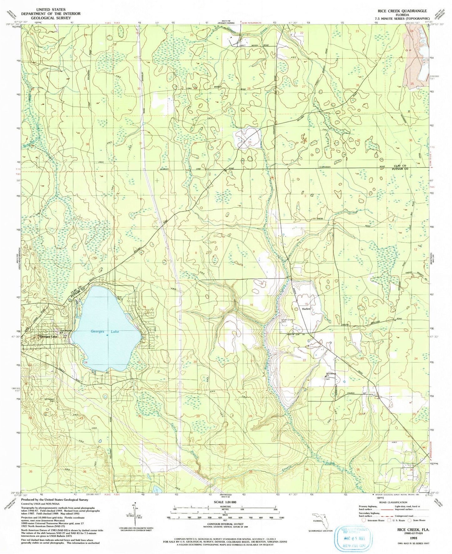
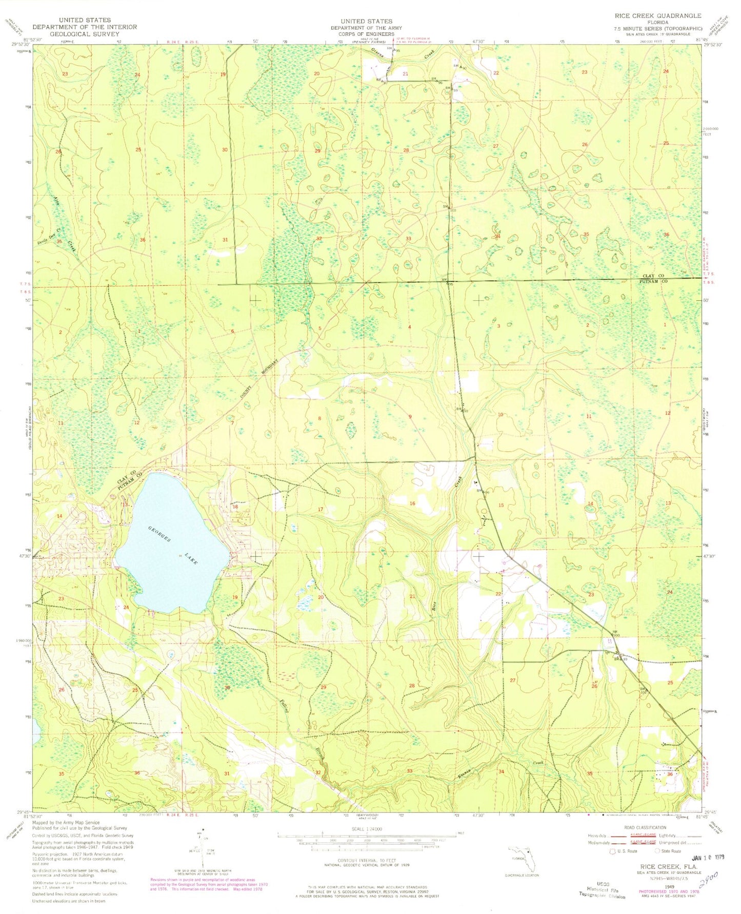
Classic USGS Rice Creek Florida 7.5'x7.5' Topo Map
Regular price
$16.95
Regular price
Sale price
$16.95
Unit price
per
Couldn't load pickup availability
Historical USGS topographic quad map of Rice Creek in the state of Florida. Map scale may vary for some years, but is generally around 1:24,000. Print size is approximately 24" x 27"
This quadrangle is in the following counties: Clay, Putnam.
The map contains contour lines, roads, rivers, towns, and lakes. Printed on high-quality waterproof paper with UV fade-resistant inks, and shipped rolled.
Contains the following named places: Devils Den Creek, Falling Branch, Georges Lake, Georges Lake Area Volunteer Fire Department Station 16, Harlem, Mount Heburn Cemetery, Providence Church, Rice Creek, ZIP Code: 32140