MyTopo
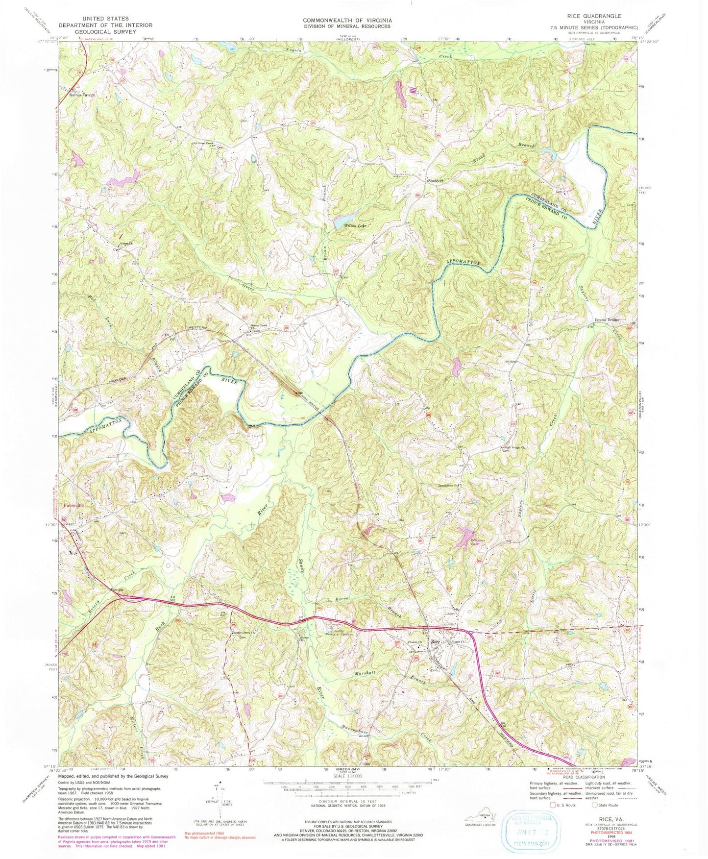
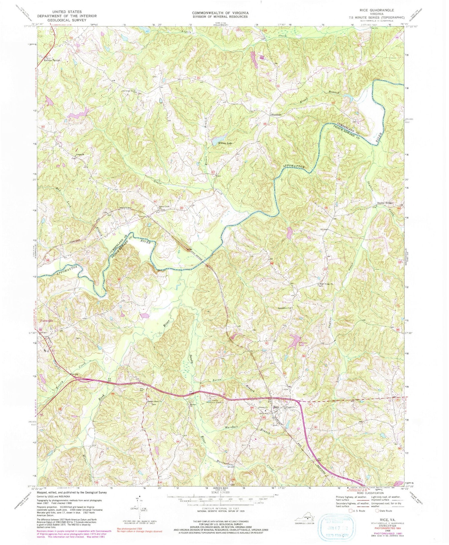
Classic USGS Rice Virginia 7.5'x7.5' Topo Map
Couldn't load pickup availability
Historical USGS topographic quad map of Rice in the state of Virginia. Map scale may vary for some years, but is generally around 1:24,000. Print size is approximately 24" x 27"
This quadrangle is in the following counties: Cumberland, Prince Edward.
The map contains contour lines, roads, rivers, towns, and lakes. Printed on high-quality waterproof paper with UV fade-resistant inks, and shipped rolled.
Contains the following named places: Ancel Dam, Ancel Pond, Bacon Branch, Bad Luck Branch, Bethel Grove Cemetery, Bethel Grove Church, Briery Creek, Broad Branch, Brown Branch, Bush River, District 201, Double Bridge, Frost Dam, Green Creek, Green Creek Church, Green Creek School, High Bridge, High Bridge Cemetery, High Bridge Church, Hines Dam, Hines Pond, Ingle Dam, Ingle Lake, Jamestown, Jamestown Bridge, Jamestown Cemetery, Jamestown Church, Lafoon Watkins and Perry Dam, Lancaster Dam, Little Saylers Creek, Marrowbone Creek, Marshall Branch, Millers Creek, Millwood Pond, Millwood Pond Dam, Monroe Baptist Church Cemetery, Monroe Church, Mortons Ford, Old Green Creek Church, Perkinsons Mill, Pisgah Baptist Church Cemetery, Pisgah Church, Raines Tavern, Randolph District Volunteer Fire Department, Rice, Rice Post Office, Rice Volunteer Fire Department, Salem Church, Sandy River, Saylers Creek, Simpsons Mill, Stoddert, Stoddert School, Trinity Memorial Gardens, Union Church, Watson Dam, Wilck Dam, Wilcks Pond, Wilson Lake, Wilsons Dam, Wilsons Pond, ZIP Code: 23966


