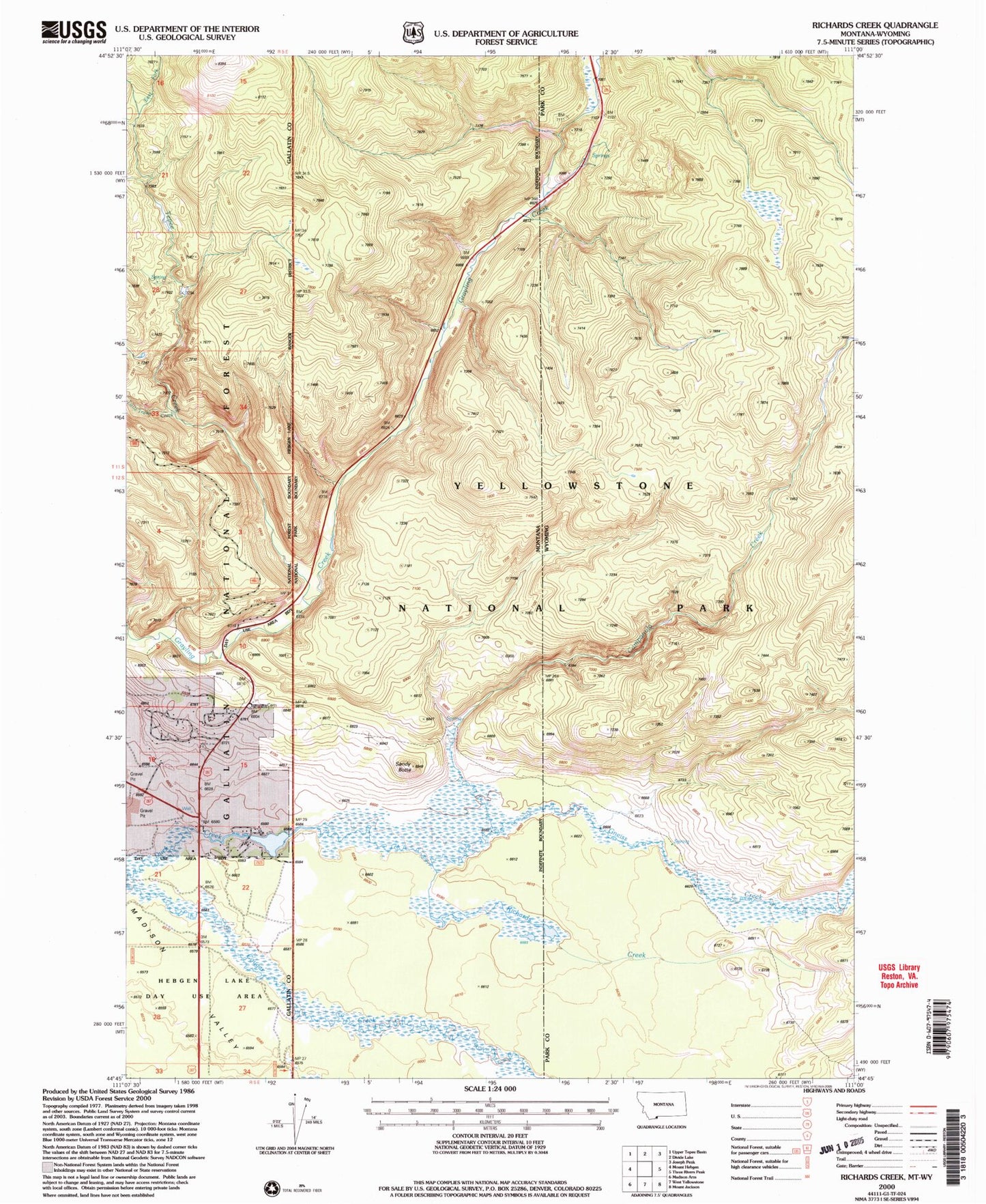
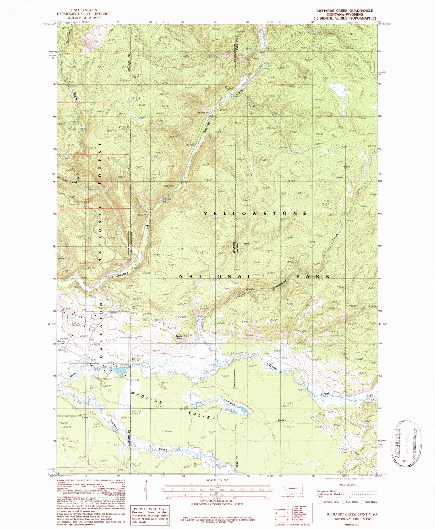
MyTopo
Classic USGS Richards Creek Montana 7.5'x7.5' Topo Map
Regular price
$16.95
Regular price
Sale price
$16.95
Unit price
per
Couldn't load pickup availability
Historical USGS topographic quad map of Richards Creek in the state of Montana. Map scale may vary for some years, but is generally around 1:24,000. Print size is approximately 24" x 27"
This quadrangle is in the following counties: Gallatin, Park.
The map contains contour lines, roads, rivers, towns, and lakes. Printed on high-quality waterproof paper with UV fade-resistant inks, and shipped rolled.
Contains the following named places: 12S05E22ABCB01 Well, Campanula Creek, East Fork Tepee Creek, Fir Ridge Cemetery, Gneiss Creek, Little Tepee Creek, Real Close Dam, Richards Creek, Sandy Butte, Tepee Creek, Yellowstone National Park Division