MyTopo
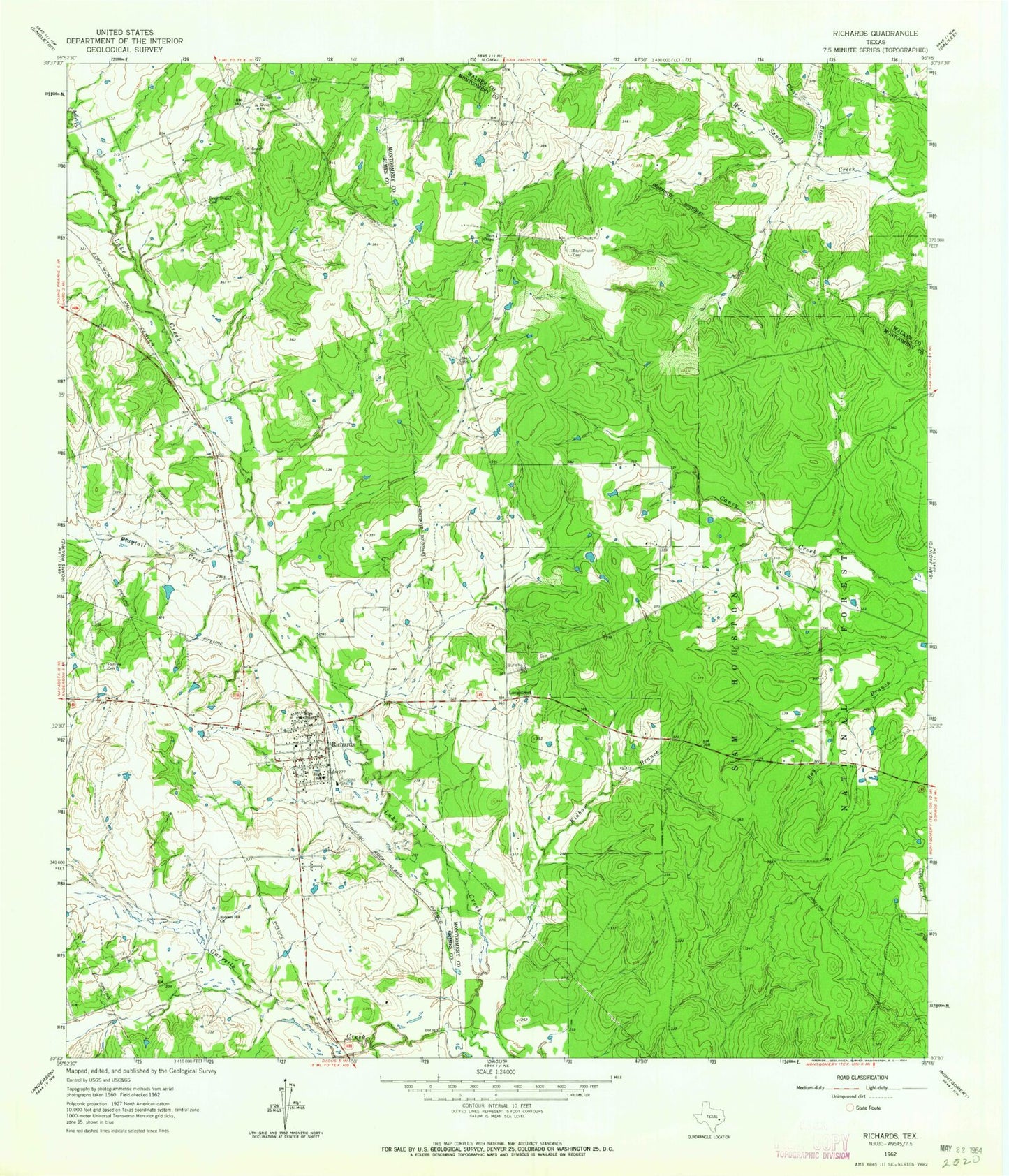
Classic USGS Richards Texas 7.5'x7.5' Topo Map
Couldn't load pickup availability
Historical USGS topographic quad map of Richards in the state of Texas. Typical map scale is 1:24,000, but may vary for certain years, if available. Print size: 24" x 27"
This quadrangle is in the following counties: Grimes, Montgomery, Walker.
The map contains contour lines, roads, rivers, towns, and lakes. Printed on high-quality waterproof paper with UV fade-resistant inks, and shipped rolled.
Contains the following named places: Bays Chapel, Bays Chapel Cemetery, Clear Branch, David Chapel Cemetery, Fairview Cemetery, Flagtail Creek, Garretts Creek, Longstreet, Richards, Robinson Hill Church, Rocky Branch, Red Loop I, Richards Volunteer Fire Department, Richards Post Office, Richards Census Designated Place