
MyTopo
Classic USGS Richardson Pond Maine 7.5'x7.5' Topo Map
Couldn't load pickup availability
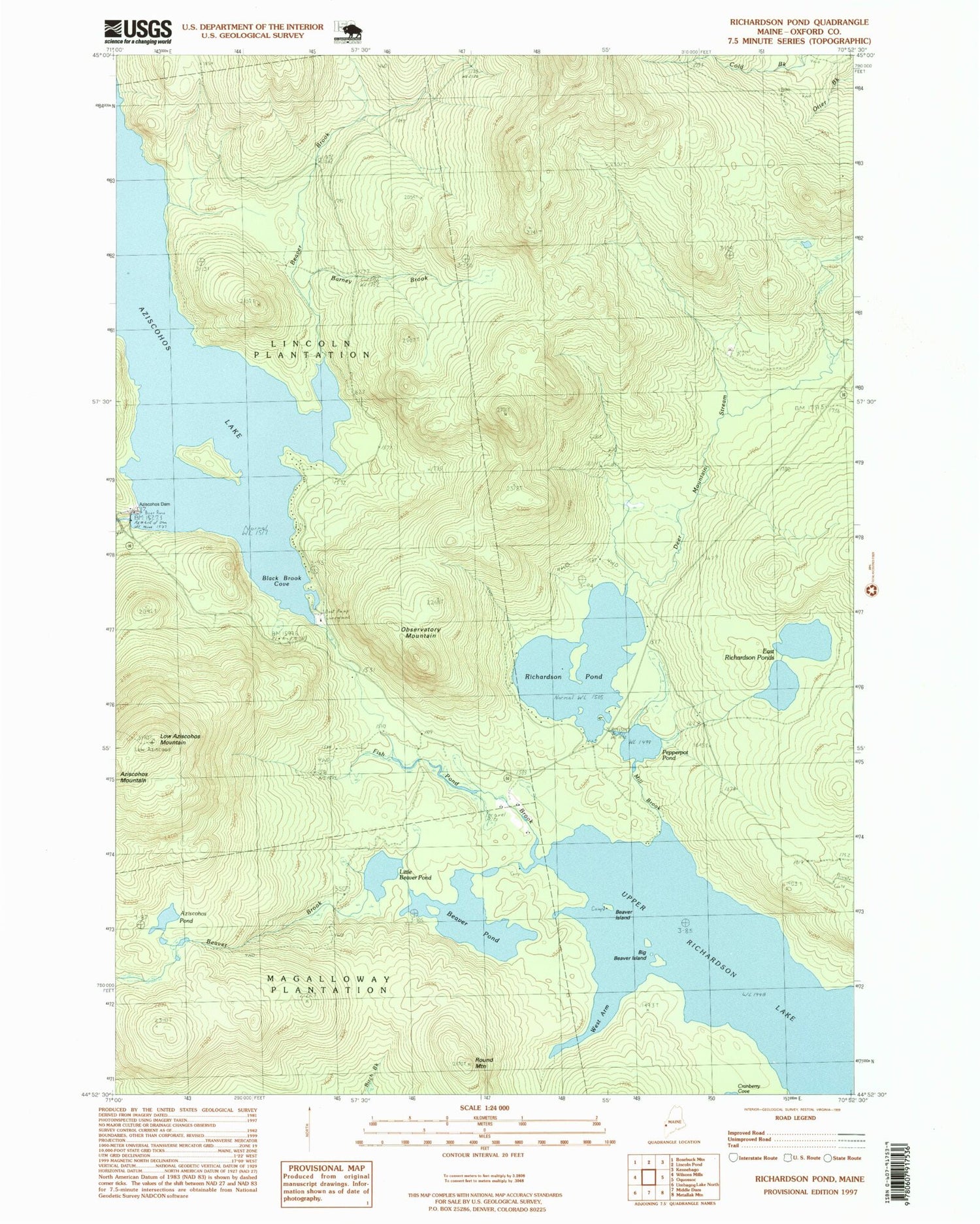
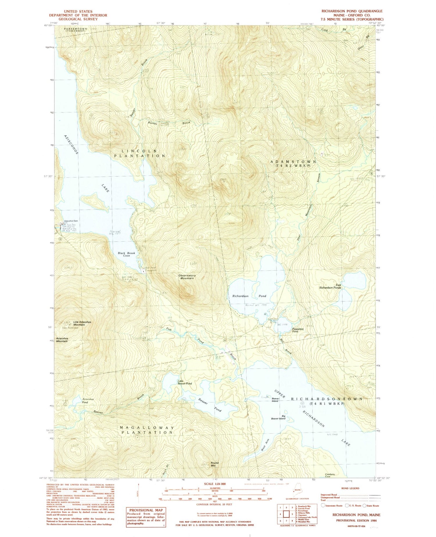
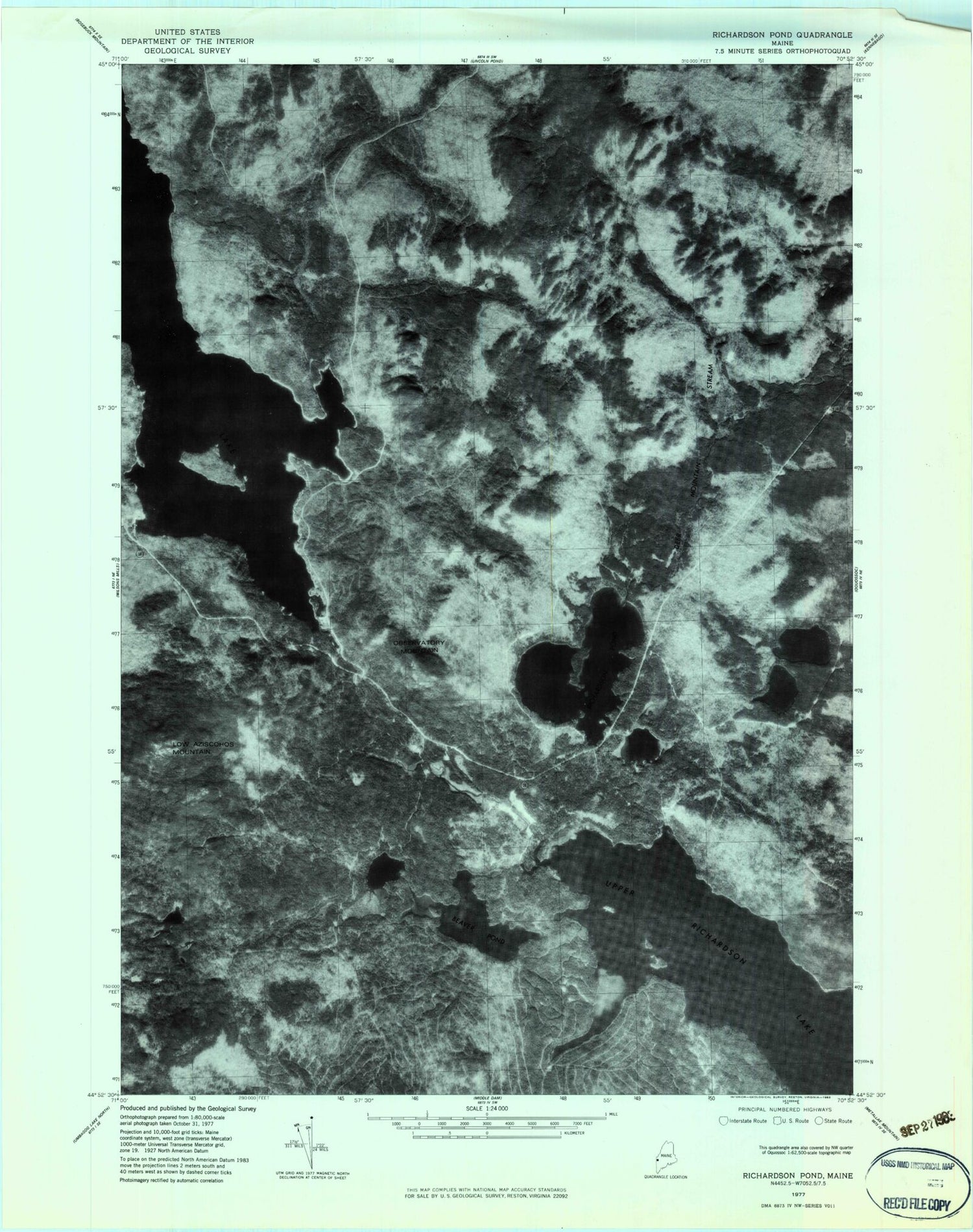
Historical USGS topographic quad map of Richardson Pond in the state of Maine. Typical map scale is 1:24,000, but may vary for certain years, if available. Print size: 24" x 27"
This quadrangle is in the following counties: Oxford.
The map contains contour lines, roads, rivers, towns, and lakes. Printed on high-quality waterproof paper with UV fade-resistant inks, and shipped rolled.
Contains the following named places: Aziscohos Dam, Aziscohos Pond, Barney Brook, Beaver Brook, Beaver Brook, Beaver Island, Beaver Pond, Big Beaver Island, Black Brook Cove, Deer Mountain Stream, East Richardson Ponds, Fish Pond Brook, Little Beaver Pond, Low Aziscohos Mountain, Mill Brook, Observatory Mountain, Pepperpot Pond, Richardson Pond, Round Mountain, Sunday Pond (historical), West Arm Upper Richardson Lake, Plantation of Lincoln, Unorganized Territory of North Oxford, Adamstown Township, Aziscohos Falls (historical), Aziscohos Dam, Aziscohos Pond, Barney Brook, Beaver Brook, Beaver Brook, Beaver Island, Beaver Pond, Big Beaver Island, Black Brook Cove, Deer Mountain Stream, East Richardson Ponds, Fish Pond Brook, Little Beaver Pond, Low Aziscohos Mountain, Mill Brook, Observatory Mountain, Pepperpot Pond, Richardson Pond, Round Mountain, Sunday Pond (historical), West Arm Upper Richardson Lake, Plantation of Lincoln, Unorganized Territory of North Oxford, Adamstown Township, Aziscohos Falls (historical)


