MyTopo
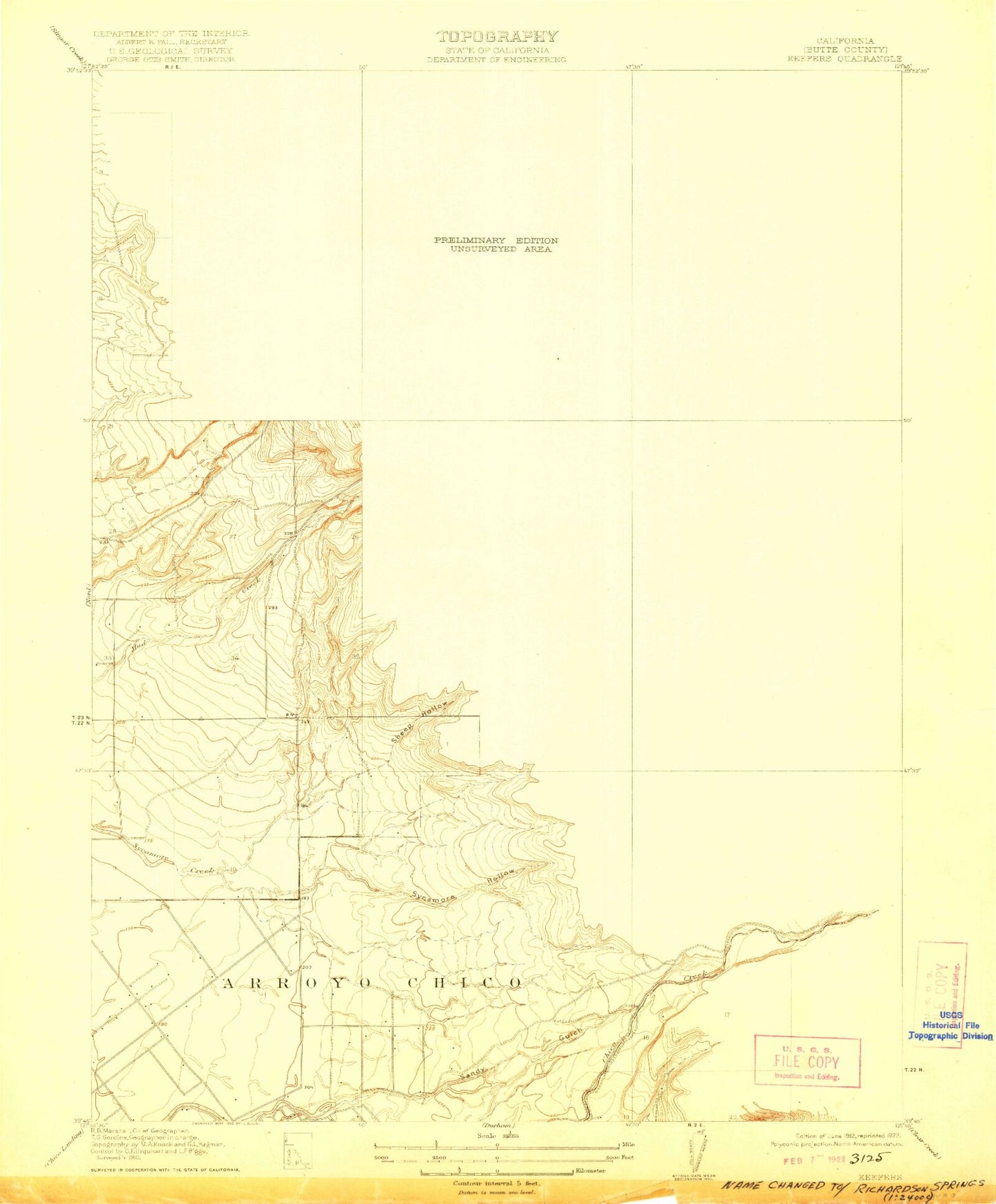
Classic USGS Richardson Springs California 7.5'x7.5' Topo Map
Couldn't load pickup availability
Historical USGS topographic quad map of Richardson Springs in the state of California. Typical map scale is 1:24,000, but may vary for certain years, if available. Print size: 24" x 27"
This quadrangle is in the following counties: Butte.
The map contains contour lines, roads, rivers, towns, and lakes. Printed on high-quality waterproof paper with UV fade-resistant inks, and shipped rolled.
Contains the following named places: Bidwell Junior High School, Bidwell Park, Bidwell River Park, Cabin Hollow, Hooker Oak, Horseshoe Lake, Iron Canyon, Marigold Elementary School, John A McManus Elementary School, Old Spanish Corral, Jay E Partridge Elementary School, Pleasant Valley Senior High School, Sheep Hollow, Sierra View Elementary School, Arroyo Chico, Cave Creek, Maple Branch, Rock Creek, Anderson Fork, Chico Municipal Airport, Richardson Springs, Chico Army Flying School (historical), Bidwell Municipal Golf Course, Canyon Oaks Golf Course, Enloe Medical Center Cohasset Campus, Cohasset Pioneers Spring, Loma Vista School, Seventh Day Adventist School, Chico Army Air Field (historical), City of Chico, Butte County Fire Department Station 42, Chico Fire Department Station 5, Chico Fire Department Station 3, Enloe Children's Health Center, Butte County Behavioral Health and Inpatient Services, Enloe Rehabilitation Center, First Responder Emergency Medical Services Station 31, First Responder Emergency Medical Services Station 32