MyTopo
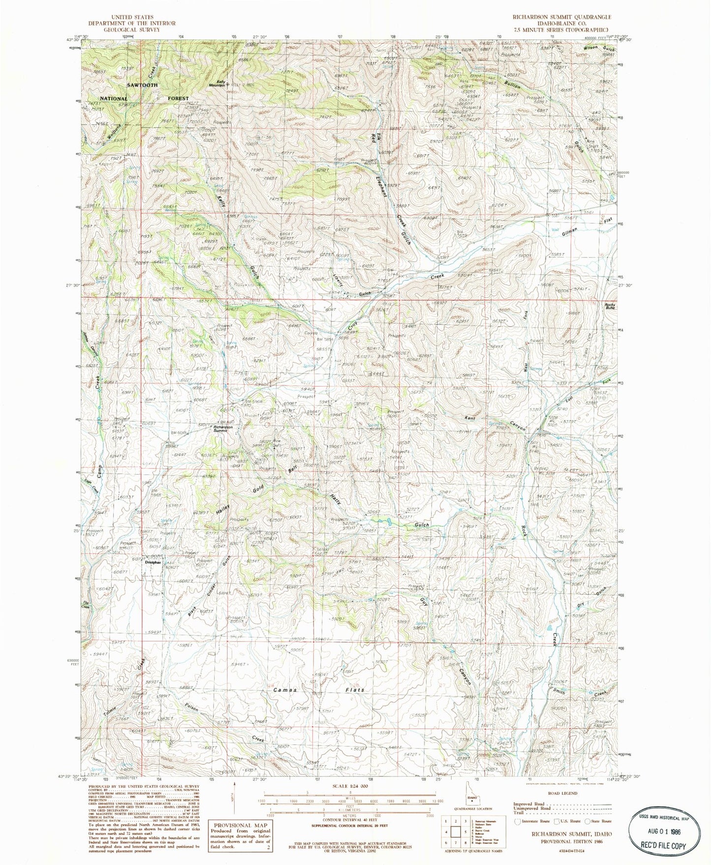
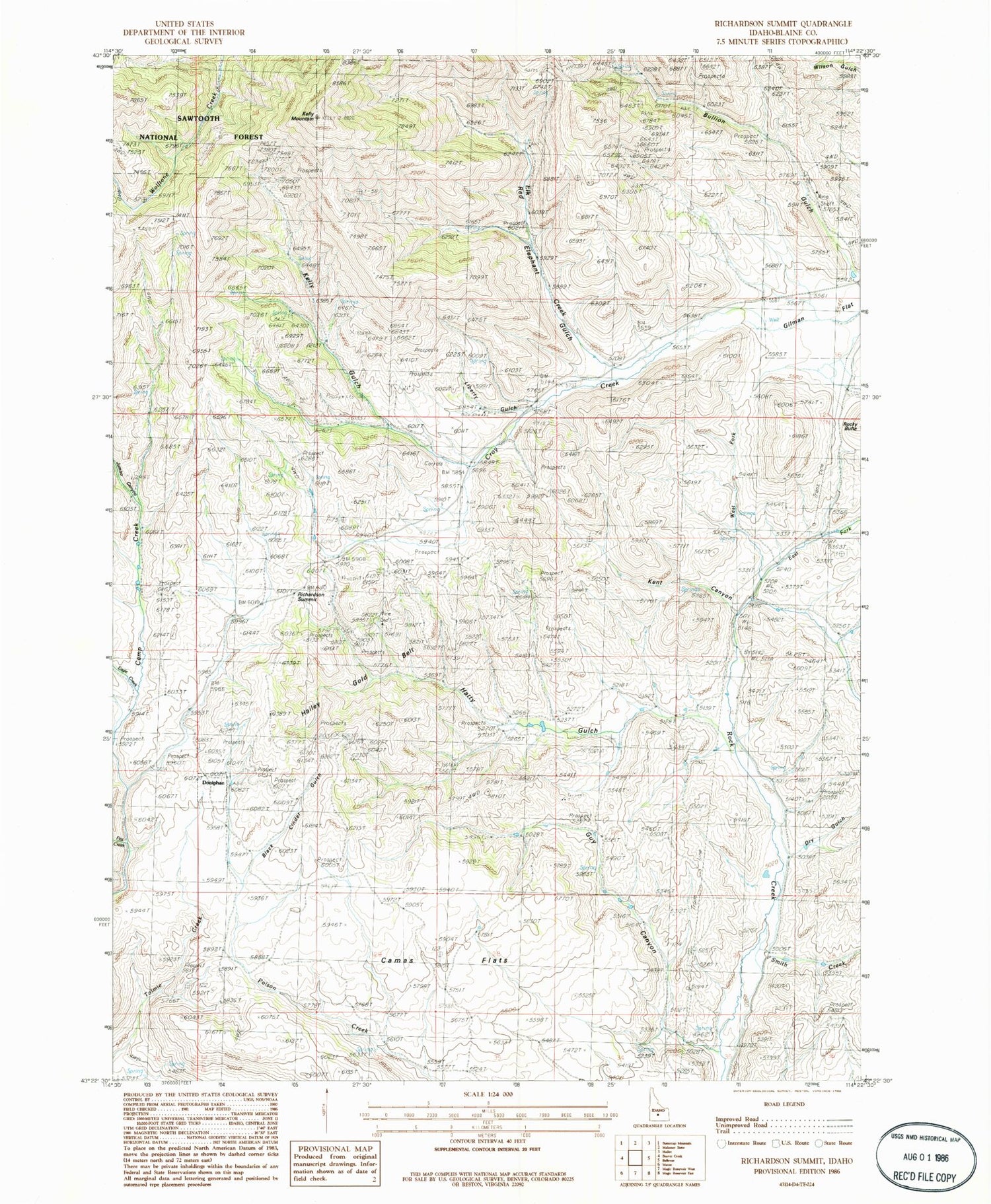
Classic USGS Richardson Summit Idaho 7.5'x7.5' Topo Map
Couldn't load pickup availability
Historical USGS topographic quad map of Richardson Summit in the state of Idaho. Map scale may vary for some years, but is generally around 1:24,000. Print size is approximately 24" x 27"
This quadrangle is in the following counties: Blaine.
The map contains contour lines, roads, rivers, towns, and lakes. Printed on high-quality waterproof paper with UV fade-resistant inks, and shipped rolled.
Contains the following named places: Apache Mill, Black Cinder Gulch, Bullion, Bullion Gulch, Camas Flats, Camas Mine, Doniphan, Doniphan Post Office, Dry Gulch, Eagle Creek, East Fork Rock Creek, Elk Creek, Flat Creek, Gilman Flat, Golden Star Mine, Guy Canyon, Hatty Gulch, Jumbo Canyon, Kelly Gulch, Kelly Mountain, Kent Canyon, Liberty Gem Mine, Liberty Gulch, Long Gulch, Red Elephant Gulch, Red Elephant Mine, Richardson Summit, Rocky Butte, Smith Creek, Stewart Ranch, Tip Top Mine, Treasure Vault Mine, West Fork Rock Creek


