MyTopo
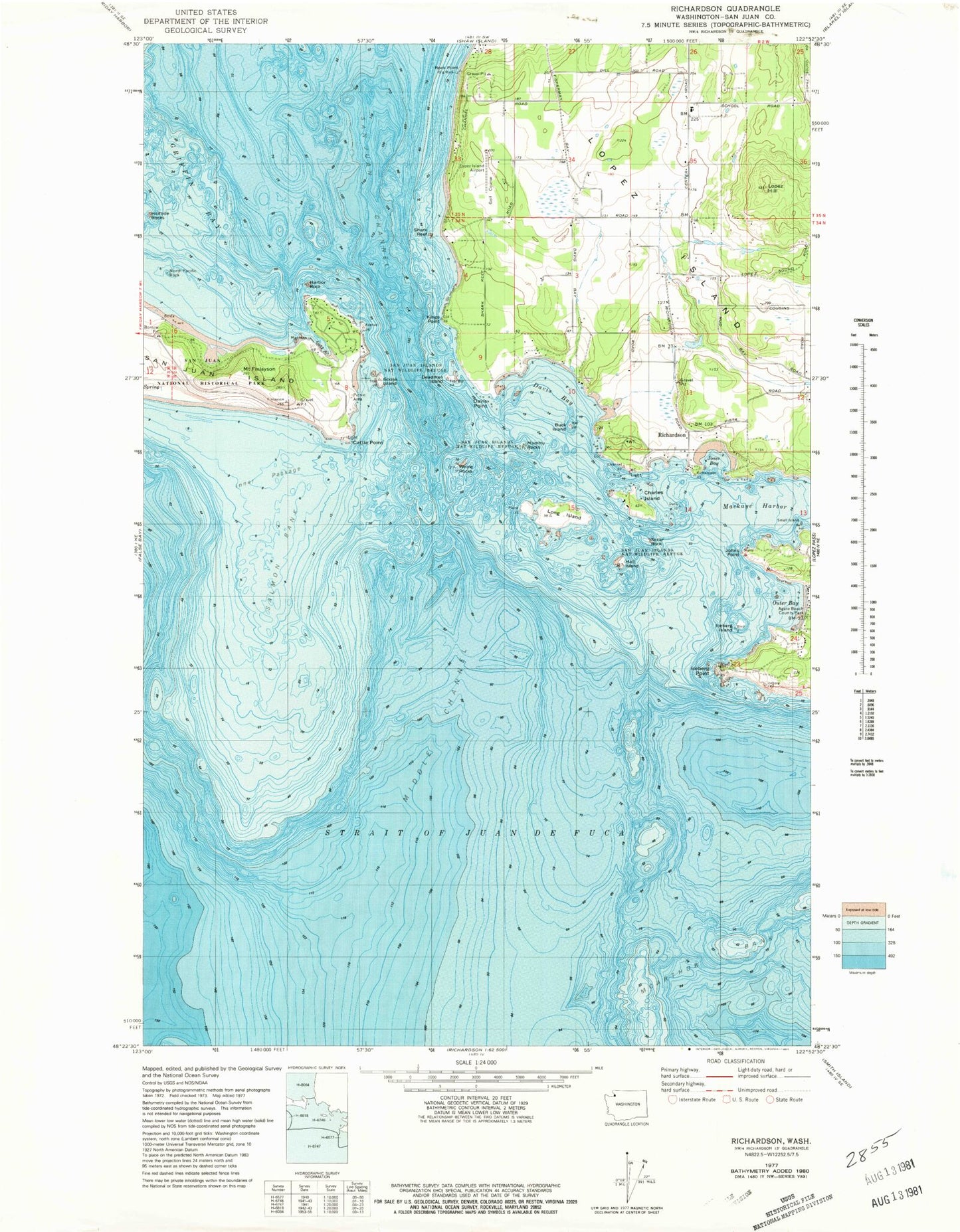
Classic USGS Richardson Washington 7.5'x7.5' Topo Map
Couldn't load pickup availability
Historical USGS topographic quad map of Richardson in the state of Washington. Map scale may vary for some years, but is generally around 1:24,000. Print size is approximately 24" x 27"
This quadrangle is in the following counties: San Juan.
The map contains contour lines, roads, rivers, towns, and lakes. Printed on high-quality waterproof paper with UV fade-resistant inks, and shipped rolled.
Contains the following named places: Agate Beach County Park, American Camp, Big Rock, Buck Island, Cattle Point, Cattle Point Light, Charles Island, Chicken Rock, Davis Bay, Davis Point, Deadman Island, Duroucher Dam, Fish Creek, Geese Islets, Goodrow Dam, Goose Island, Griffin Bay, Halftide Rocks, Hall Island, Harbor Rock, Hope Reef, Iceberg Island, Iceberg Island State Marine Park, Iceberg Point, Inner Passage, Iowa Rock, Jakles Lagoon, Johns Point, Jones Bay, Kingdom Hall of Jehovahs Witnesses, Kings Point, Long Island, Lopez Elementary School, Lopez Hill, Lopez Island, Lopez Island Airport, Lopez Middle and High School, Lopez Union Cemetery, Mackaye Harbor, Middle Channel, Mount Finlayson, Mummy Rocks, Mya Cove, North Pacific Rock, Northwest Straits, Oberholtzer Dam, Outer Bay, Richardson, Richardson Rock, Rock Point, Rowboat Cove, Salmon Bank, San Juan County Fire Protection District 4 Station 44, San Juan Island Fire Department Cape San Juan Station 32, Secar Rock, Shark Reef, Third Lagoon, Whale Rocks, White Cliffs, ZIP Code: 98261