MyTopo
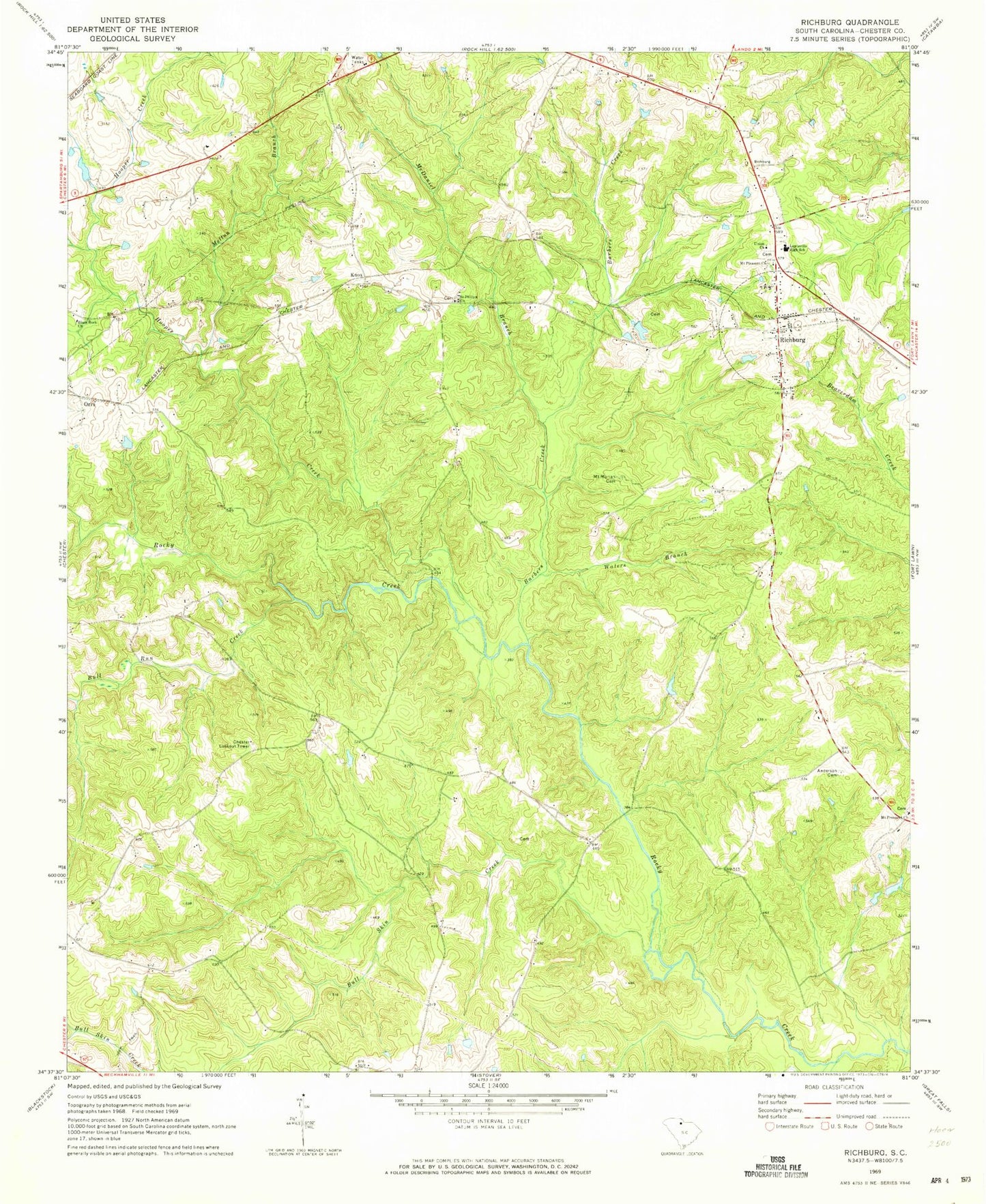
Classic USGS Richburg South Carolina 7.5'x7.5' Topo Map
Couldn't load pickup availability
Historical USGS topographic quad map of Richburg in the state of South Carolina. Map scale may vary for some years, but is generally around 1:24,000. Print size is approximately 24" x 27"
This quadrangle is in the following counties: Chester.
The map contains contour lines, roads, rivers, towns, and lakes. Printed on high-quality waterproof paper with UV fade-resistant inks, and shipped rolled.
Contains the following named places: Anderson Cemetery, Barbers Creek, Binghamtown, Black Rock Baptist Church, Black Rock School, Brick Church, Bull Run Creek, Bull Skin Creek, Chester Lookout Tower, Counterman Farm, Crisler Pond D-1438 Dam, Goldmine School, Hooper Creek, Knox, Lewisville, Lewisville High School, McDaniel Branch, Melton Branch, Mount Moriah Cemetery, Mount Pleasant Church, Orrs, Pedens Bridge, Pryor Church, Richburg, Richburg Division, Richburg Fire Department, Saint Philips Church, Stevens Farms, Tip Top, Town of Richburg, Union Church, Waters Branch, Well Ridge Church, William Martin Cemetery, ZIP Code: 29729