MyTopo
Classic USGS Richey SE Montana 7.5'x7.5' Topo Map
Couldn't load pickup availability
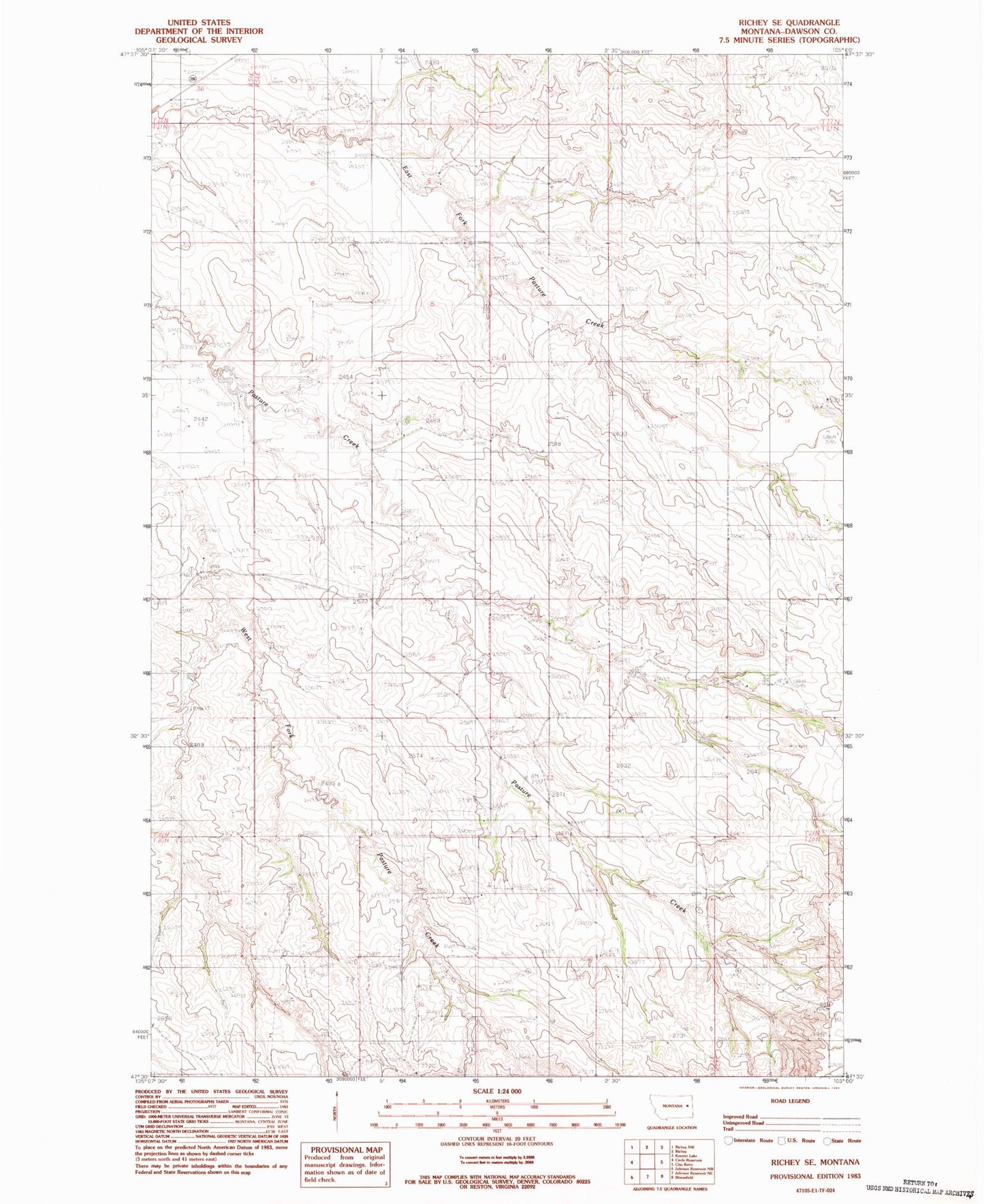
Historical USGS topographic quad map of Richey SE in the state of Montana. Map scale may vary for some years, but is generally around 1:24,000. Print size is approximately 24" x 27"
This quadrangle is in the following counties: Dawson.
The map contains contour lines, roads, rivers, towns, and lakes. Printed on high-quality waterproof paper with UV fade-resistant inks, and shipped rolled.
Contains the following named places: 20N52E03ADD_01 Well, 20N52E03CAA_01 Well, 20N52E12BAC_01 Well, 21N52E05AAAB01 Well, 21N52E05ACCC01 Well, 21N52E05CAAA01 Well, 21N52E17DA__01 Well, 21N52E17DB__01 Well, 21N52E23ADC_01 Well, 21N52E28DC__01 Well, 21N52E32DA__01 Well, 21N52E33DB__01 Well, Johnstone Pasture Dam, Morningside School