MyTopo
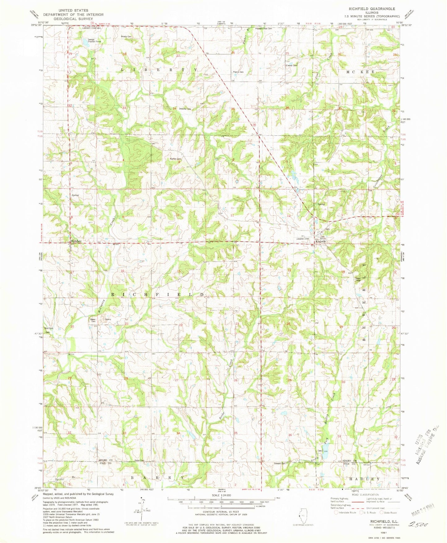
Classic USGS Richfield Illinois 7.5'x7.5' Topo Map
Couldn't load pickup availability
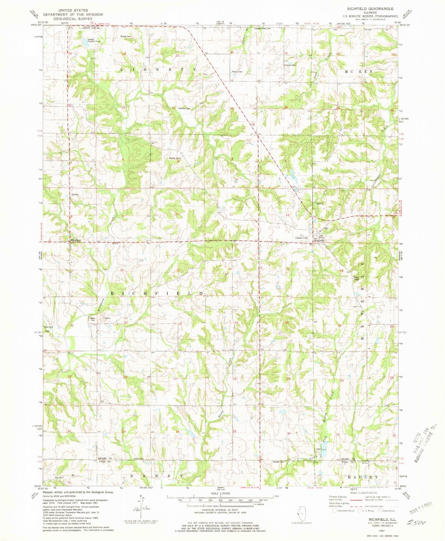
Historical USGS topographic quad map of Richfield in the state of Illinois. Map scale may vary for some years, but is generally around 1:24,000. Print size is approximately 24" x 27"
This quadrangle is in the following counties: Adams, Pike.
The map contains contour lines, roads, rivers, towns, and lakes. Printed on high-quality waterproof paper with UV fade-resistant inks, and shipped rolled.
Contains the following named places: Akers School, Baker Family Cemetery, Brick School, Broady Cemetery, Center School, Dale A Klassing Airport, De Wees Lake, De Wees Lake Dam, Drescher Family Cemetery, Elmwood Family Cemetery, Hadley Creek Number 2 Dam, Hadley Creek Number 2 Reservoir, Hickory Grove School, Kingston, Kingston Census Designated Place, Kingston Park Cemetery, Klarner Cemetery, Lone Oak School, Maynard School, Pearce Cemetery, Pin Oak School, Pleasant View Cemetery, Potter Cemetery, Rice Family Cemetery, Richfield, Richfield Census Designated Place, Richfield Quarry, Rock School, Rose Hill School, School Number 7, Stewart Cemetery, Township of Richfield, ZIP Code: 62347


