MyTopo
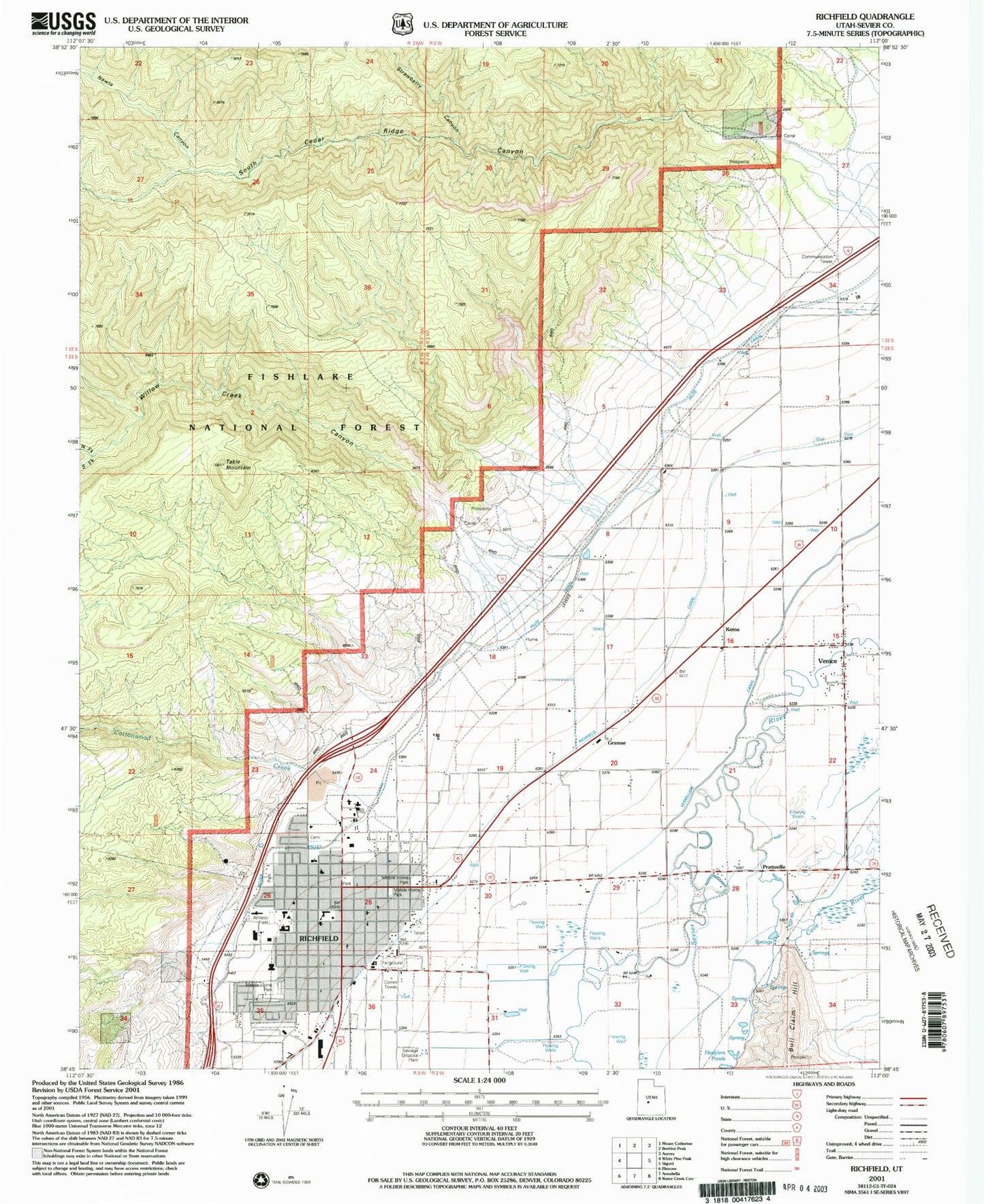
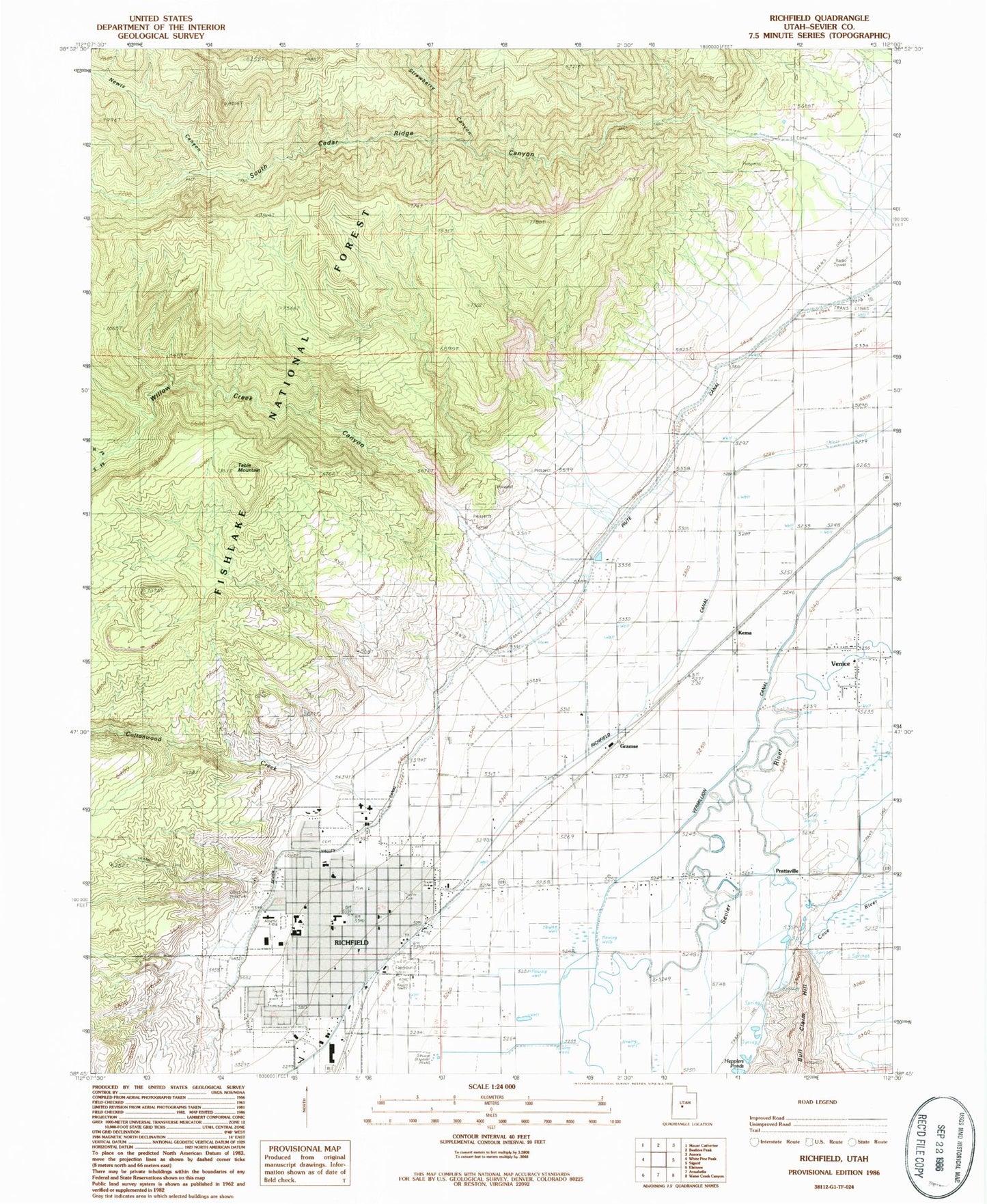
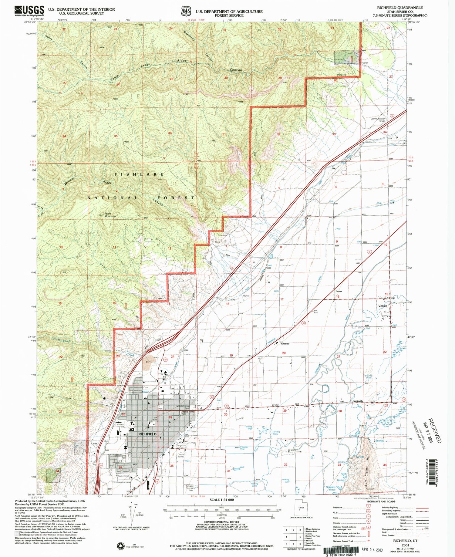
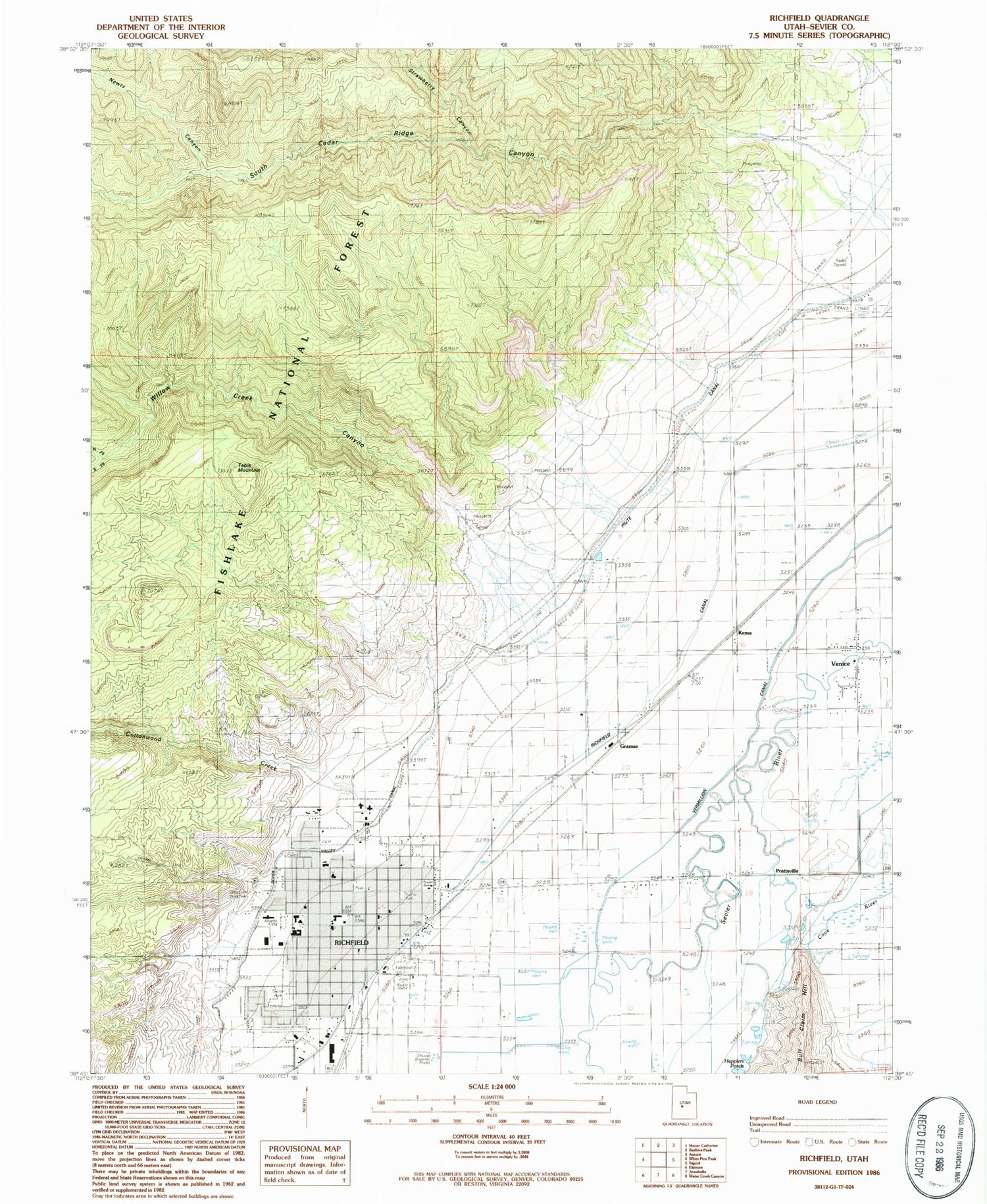
Classic USGS Richfield Utah 7.5'x7.5' Topo Map
Couldn't load pickup availability
Historical USGS topographic quad map of Richfield in the state of Utah. Map scale may vary for some years, but is generally around 1:24,000. Print size is approximately 24" x 27"
This quadrangle is in the following counties: Sevier.
The map contains contour lines, roads, rivers, towns, and lakes. Printed on high-quality waterproof paper with UV fade-resistant inks, and shipped rolled.
Contains the following named places: Ashman Elementary School, Assembly of God Church, City of Richfield, Cottonwood Creek, First Baptist Church, Good Shepherd Lutheran Church, Gramse, Kema, KKWZ-FM (Richfield), KOA Campground, KSVC-AM (Richfield), Newts Canyon, North Fork Willow Creek, North Fork Willow Creek Canyon, Pahvant Elementary School, Park Crest Village Center, Prattsville, Prattsville Canal, Richfield, Richfield Canal, Richfield City Cemetery, Richfield City Police Department, Richfield High School, Richfield Post Office, Richfield Volunteer Fire Department, Saint Elizabeth Catholic Church, Sevier County Ambulance, Sevier County Fairground, Sevier County Jail, Sevier County Sheriff's Office, Sevier Valley Canal, Sevier Valley Hospital Heliport, Sevier Valley Medical Center, South Cedar Ridge Canyon, South Fork Willow Creek, South Fork Willow Creek Canyon, State Canal, Strawberry Canyon, Table Mountain, The Church of Jesus Christ of Latter Day Saints, Trinity Baptist Church, United States Forest Service Fire Station Fishlake National Forest, Utah Highway Patrol Section 10 Richfield Office, Valley Community Presbyterian Church, Venice, Willow Creek, Willow Creek Canyon


