MyTopo
Classic USGS Richford Port of Entry Vermont 7.5'x7.5' Topo Map
Couldn't load pickup availability
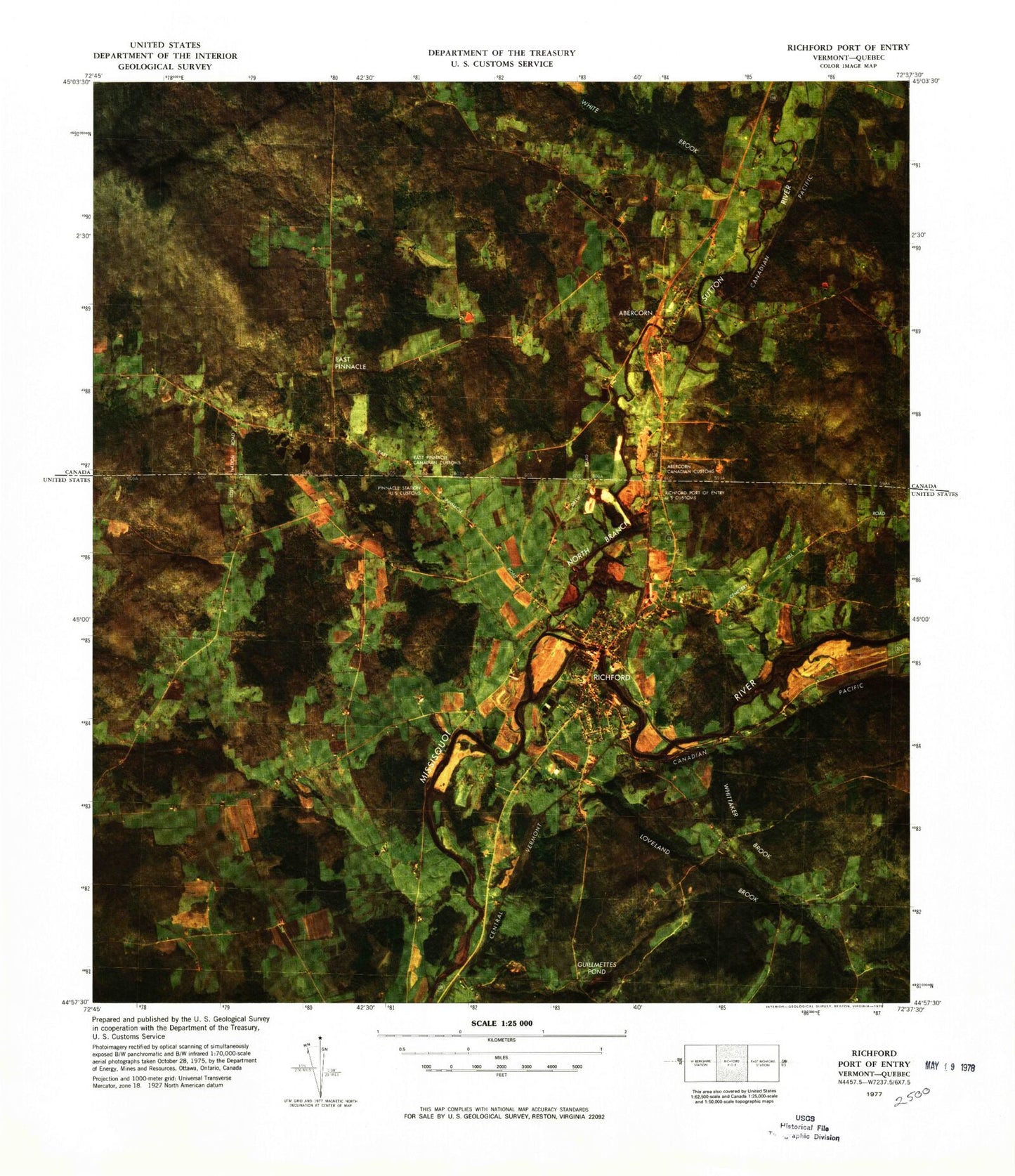
Historical USGS topographic quad map of Richford Port of Entry in the state of Vermont. Map scale may vary for some years, but is generally around 1:24,000. Print size is approximately 24" x 27"
This quadrangle is in the following counties: Franklin.
The map contains contour lines, roads, rivers, towns, and lakes. Printed on high-quality waterproof paper with UV fade-resistant inks, and shipped rolled.
Contains the following named places: All Saints Cemetery, Arvin A Brown Public Library, Ayers Hill, Berkshire Municipal Forest, Downtown Richford Historic District, Guillmettes Pond, Hardwood Hill, Hillside Cemetery, Loveland Brook, Missisquoi River Bridge, North Branch Missisquoi River, Richford, Richford Census Designated Place, Richford Center Cemetery, Richford Country Club, Richford Elementary School, Richford Fire Department, Richford Junior / Senior High School, Richford Post Office, Richford Town Hall, Troy Street Cemetery, Whittaker Brook