MyTopo
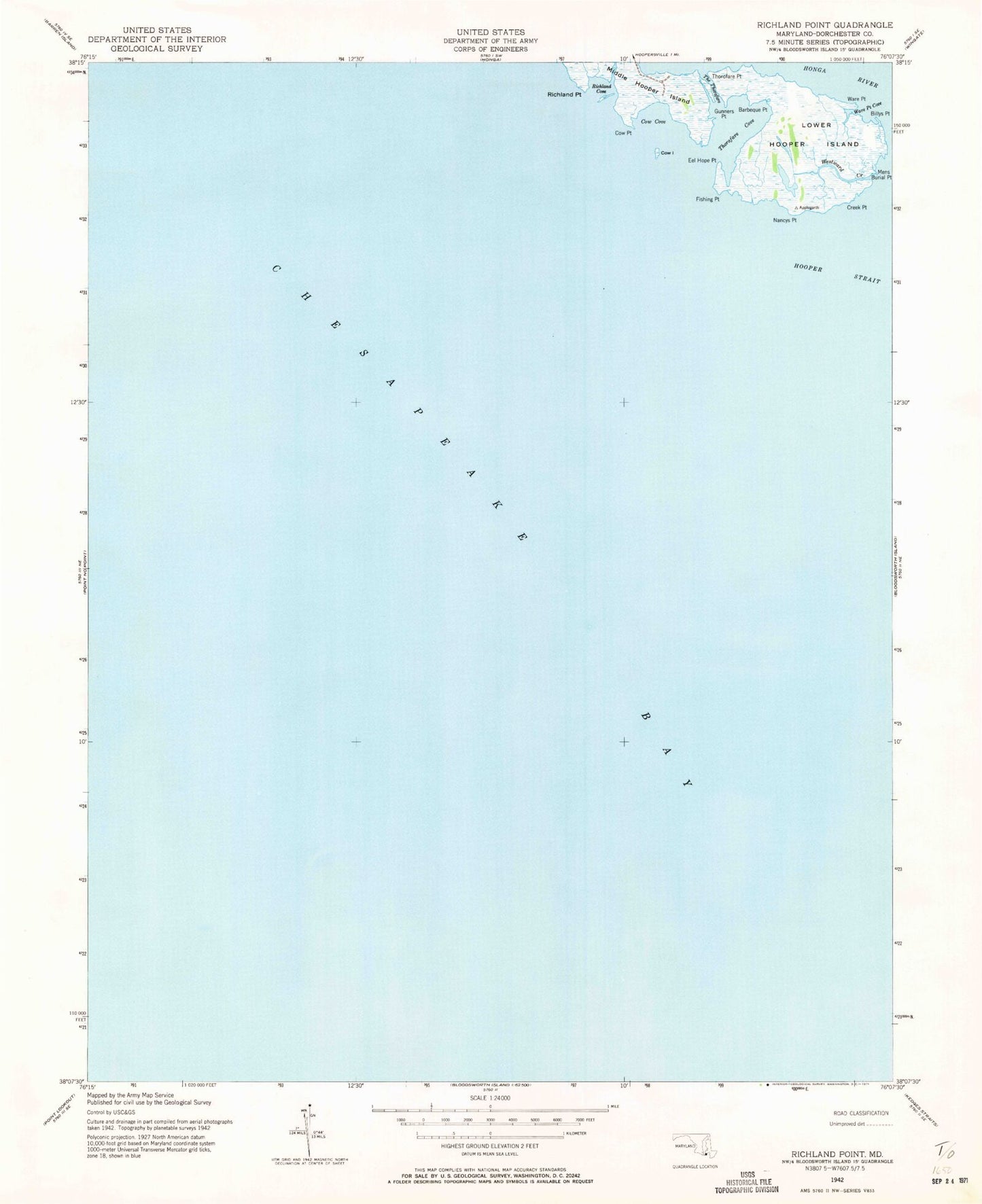
Classic USGS Richland Point Maryland 7.5'x7.5' Topo Map
Couldn't load pickup availability
Historical USGS topographic quad map of Richland Point in the state of Maryland. Map scale may vary for some years, but is generally around 1:24,000. Print size is approximately 24" x 27"
This quadrangle is in the following counties: Dorchester, St. Mary's.
The map contains contour lines, roads, rivers, towns, and lakes. Printed on high-quality waterproof paper with UV fade-resistant inks, and shipped rolled.
Contains the following named places: Applegarth, Barbeque Point, Billys Point, Cow Cove, Cow Island, Cow Point, Creek Point, Eagle Point, Eel Hope Point, Fishing Point, Gunners Point, Lower Hooper Island, Mens Burial Point, Nancys Point, Richland Cove, Richland Point, The Thorofare, Thorofare Cove, Thorofare Point, Ware Point, Ware Point Cove, Westward Creek