MyTopo
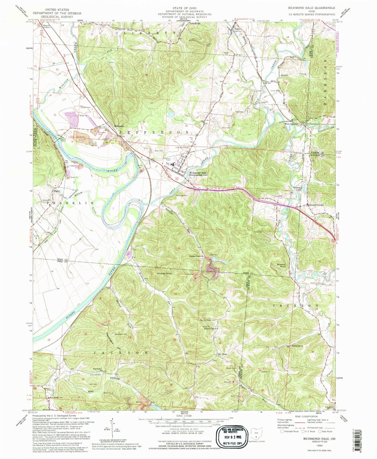
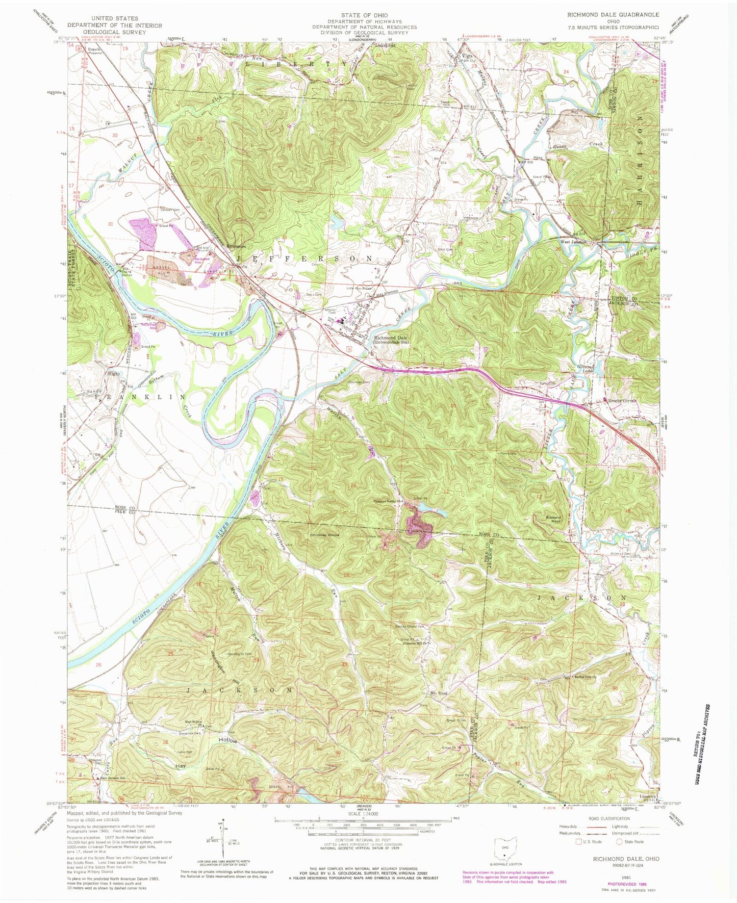
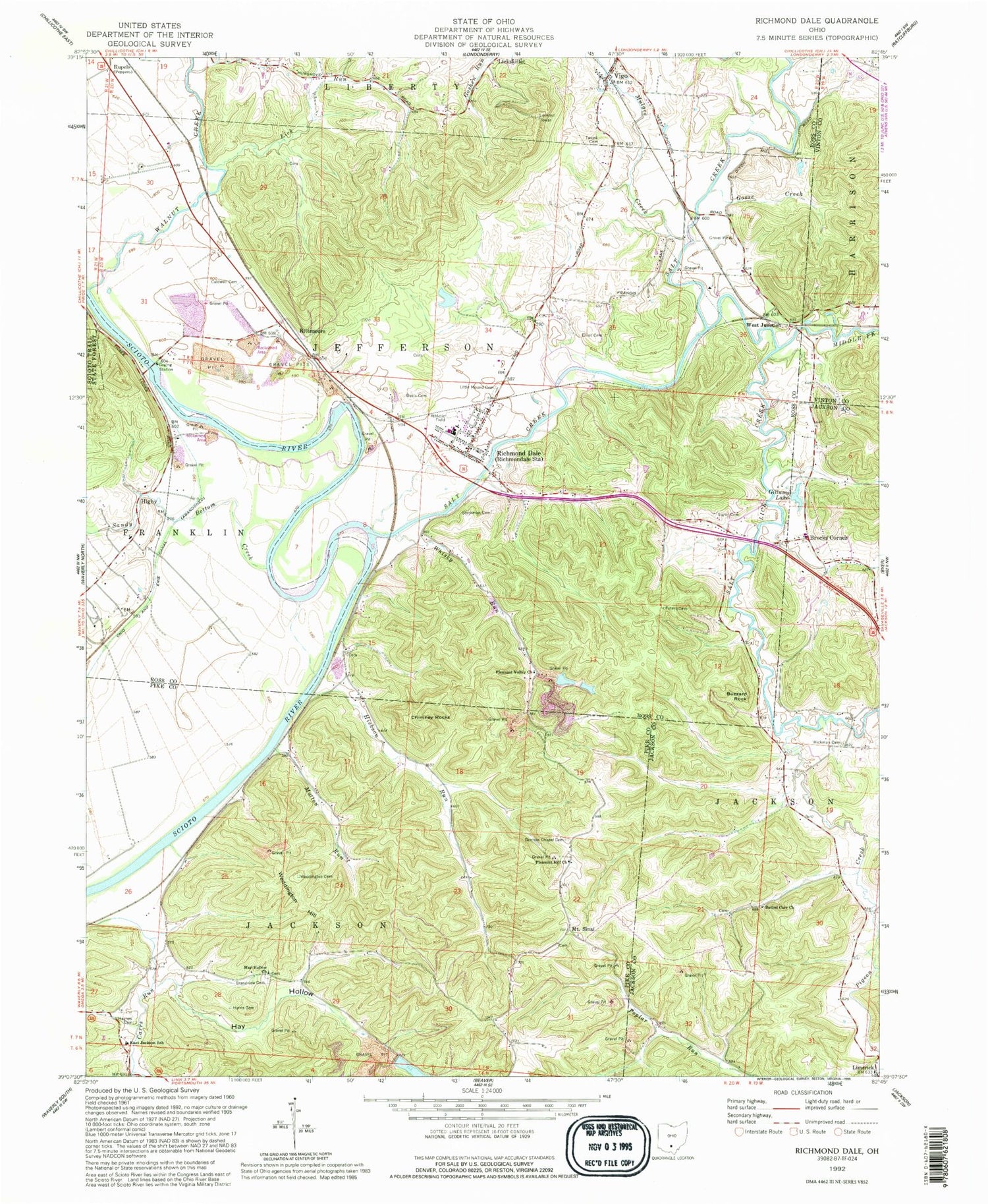
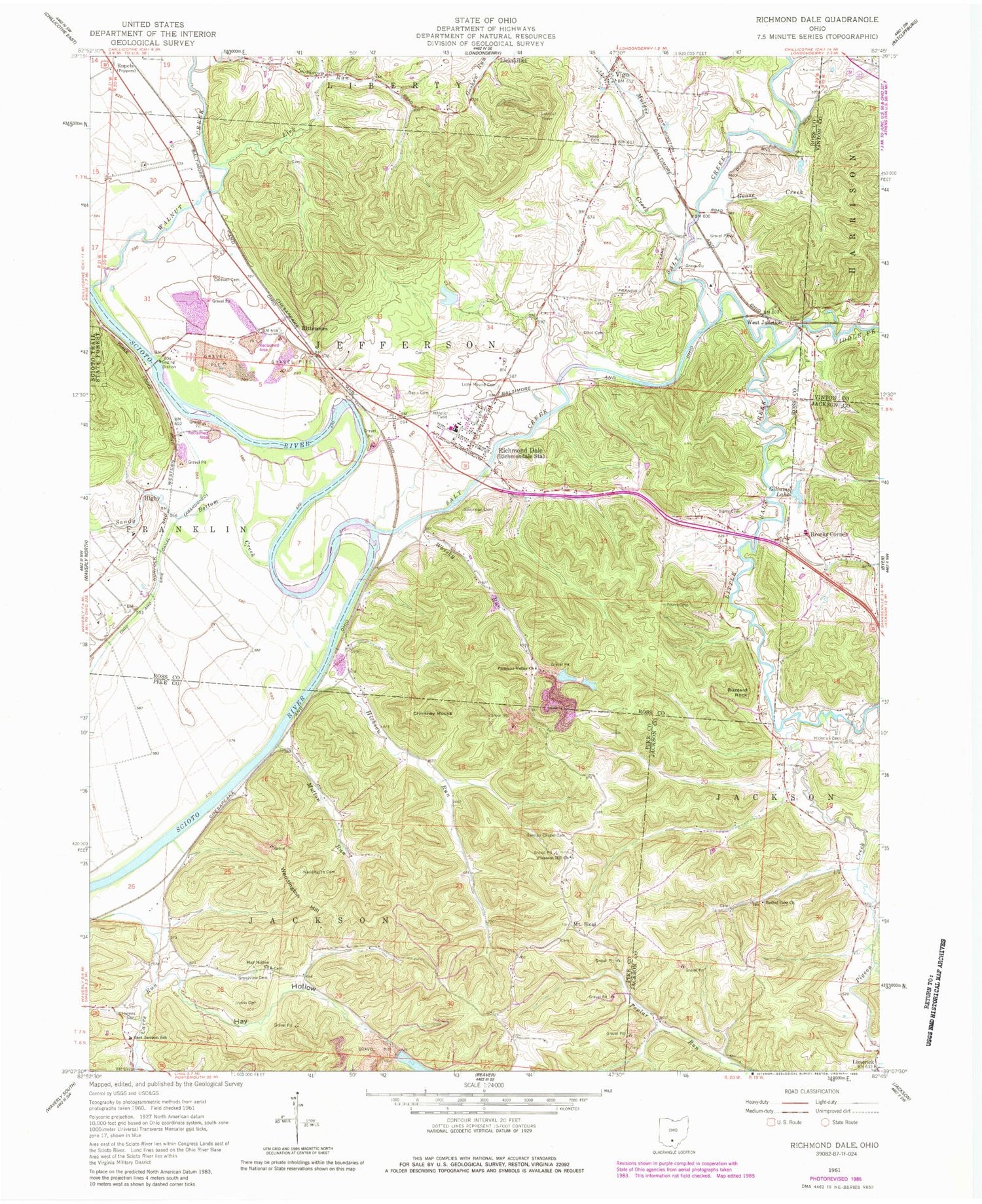
Classic USGS Richmond Dale Ohio 7.5'x7.5' Topo Map
Couldn't load pickup availability
Historical USGS topographic quad map of Richmond Dale in the state of Ohio. Typical map scale is 1:24,000, but may vary for certain years, if available. Print size: 24" x 27"
This quadrangle is in the following counties: Jackson, Pike, Ross, Vinton.
The map contains contour lines, roads, rivers, towns, and lakes. Printed on high-quality waterproof paper with UV fade-resistant inks, and shipped rolled.
Contains the following named places: Beals Cemetery, Buzzard Rock, Caldwell Cemetery, East Jackson School, Elliot Cemetery, German Chapel Cemetery, Gillums Lake, Goose Creek, Grandview Cemetery, Harris Cemetery, Hay Hollow, Hay Hollow Church, Haynes Cemetery, Hickman Cemetery, Jackson Run, Lick Run, Little Mound Cemetery, Mutton Run, Pleasant Hill Church, Pleasant Valley Church, Salt Creek, Sandy Bottom Creek, Sigler Cemetery, Stockman Cemetery, Tweed Cemetery, Walnut Creek, Weddington Cemetery, Weddington Hill, Whisky Run, Zion Church (historical), Higby Elementary School, Canada (historical), Rupel School (historical), Southeastern High School, Richmondale Elementary School, Bethel Carr Church, Rittenours, West Junction, Middle Fork Salt Creek, Hickson Run, Higby, Limerick, Mount Sinai, Vigo, Chimney Rocks, Pigeon Creek, Brocks Corner, Mulgee Creek, Reorganized Church of Jesus Christ of Latter Day Saints, Salt Lick Creek, Hay Hollow Reservoir Dam, Hay Hollow Reservoir, Southern Silica Pond Number One Dam, Southern Silica Pond Number One, Southern Silica Pond Number Two Dam, Southern Silica Pond Number Two, Richmond Dale, Township of Jackson, Township of Jefferson, Mount Sinai Cemetery, Brocke Corner Cemetery, Limerick Post Office (historical), Richmond Dale Post Office, Higby Post Office (historical), Vigo Post Office (historical), Jefferson Township Fire and Rescue, Jackson Township Fire Department, Richmond Dale Census Designated Place


