MyTopo
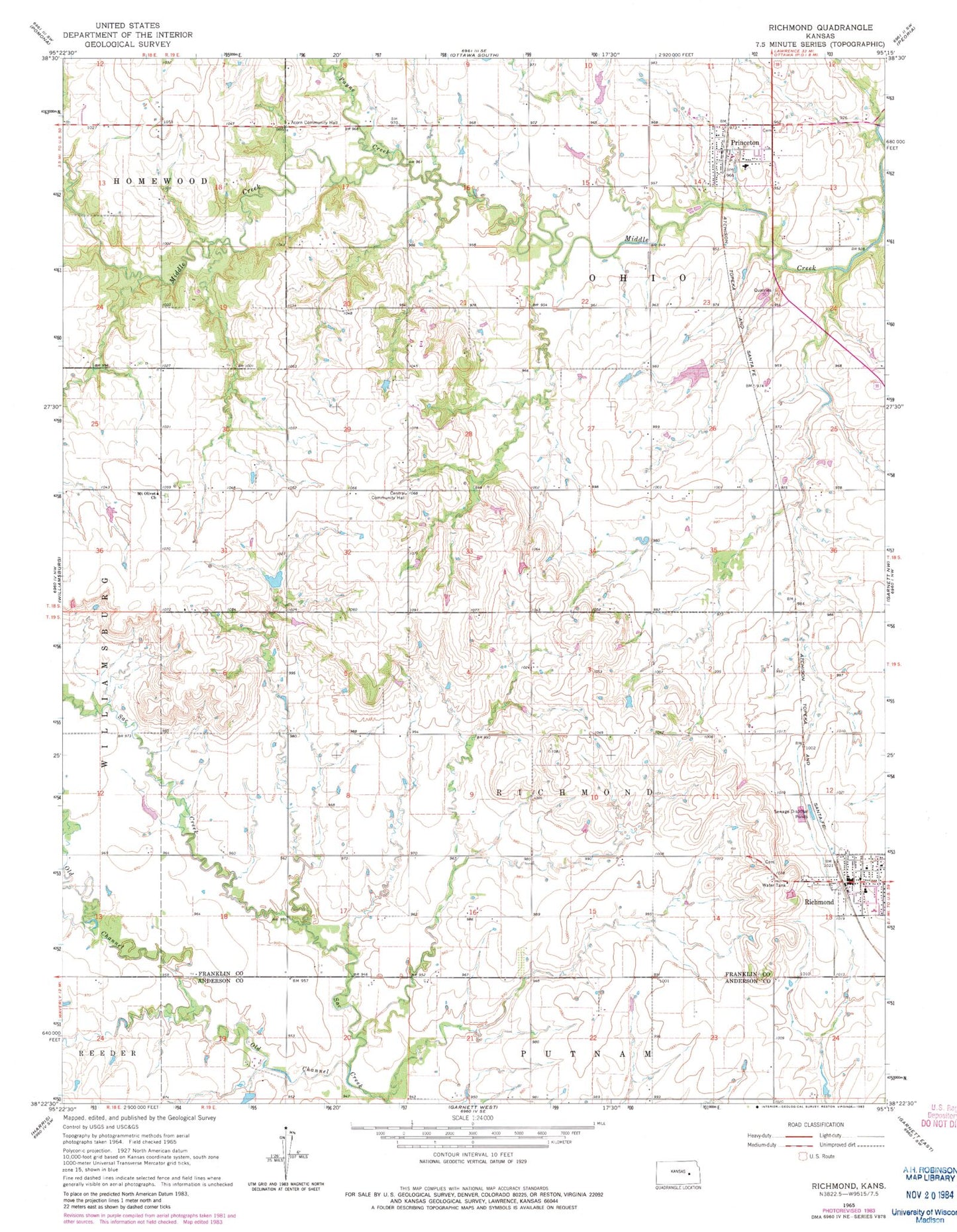
Classic USGS Richmond Kansas 7.5'x7.5' Topo Map
Couldn't load pickup availability
Historical USGS topographic quad map of Richmond in the state of Kansas. Map scale may vary for some years, but is generally around 1:24,000. Print size is approximately 24" x 27"
This quadrangle is in the following counties: Anderson, Franklin.
The map contains contour lines, roads, rivers, towns, and lakes. Printed on high-quality waterproof paper with UV fade-resistant inks, and shipped rolled.
Contains the following named places: Beachner Grain Elevator Number 13, Central Community Hall, City of Princeton, City of Richmond, Middletown, Mount Olivet Church, Ohio Township Fire Department, Old Channel Sac Creek, Payne Creek, Princeton, Princeton Christian Church, Princeton Mobile Home Park, Princeton Municipal Water Treatment Facility, Princeton Post Office, Princeton United Methodist Church, Richmond, Richmond Consolidated Fire District 1, Richmond Police Department, Richmond Post Office, Richmond Public Library, Richmond United Methodist Church, Richmond Wastewater Plant, Township of Ohio, Township of Richmond, ZIP Codes: 66078, 66080