MyTopo
Classic USGS Richmondville Michigan 7.5'x7.5' Topo Map
Regular price
$16.95
Regular price
Sale price
$16.95
Unit price
per
Couldn't load pickup availability
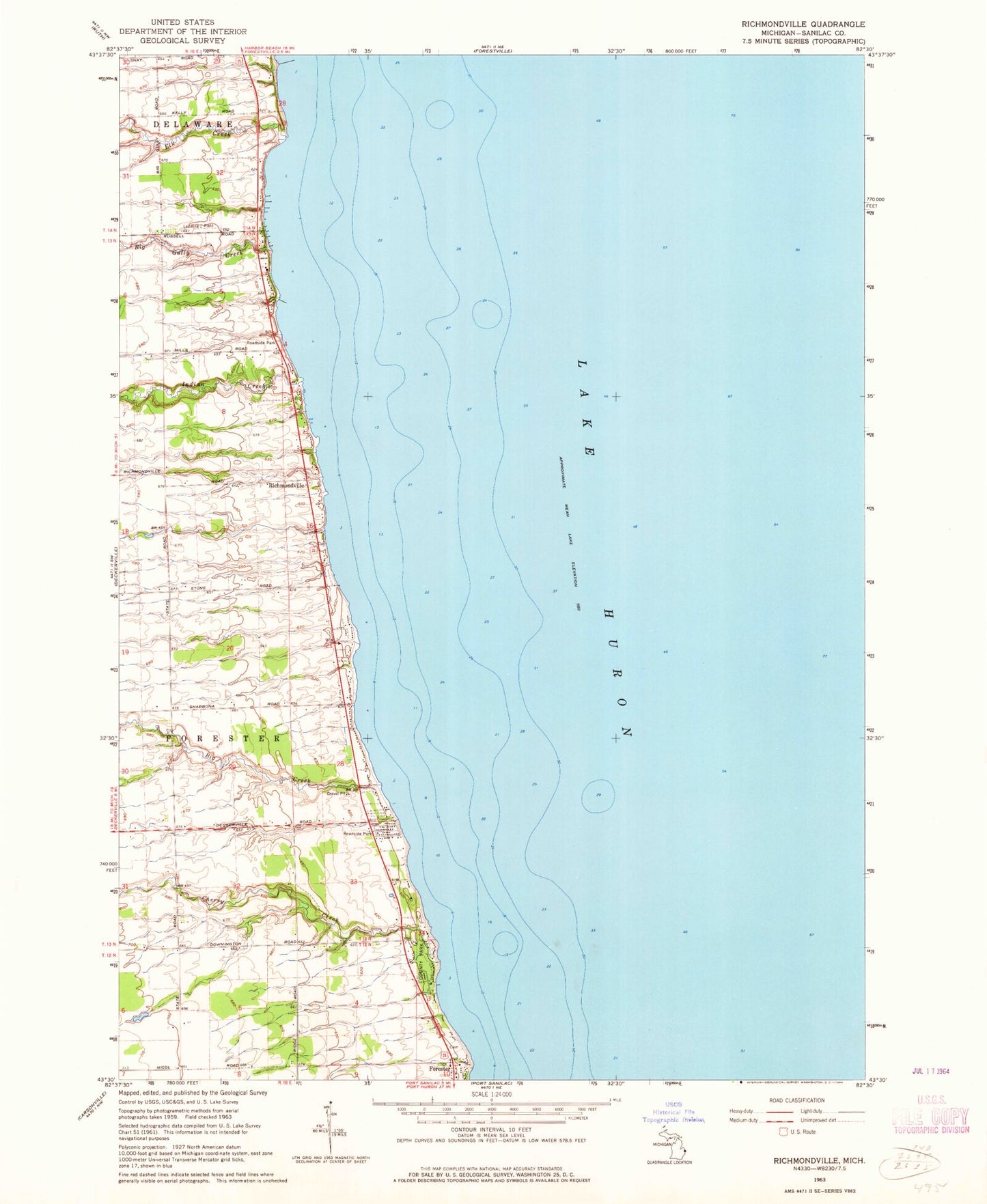
Historical USGS topographic quad map of Richmondville in the state of Michigan. Map scale may vary for some years, but is generally around 1:24,000. Print size is approximately 24" x 27"
This quadrangle is in the following counties: Sanilac.
The map contains contour lines, roads, rivers, towns, and lakes. Printed on high-quality waterproof paper with UV fade-resistant inks, and shipped rolled.
Contains the following named places: Big Creek, Big Gully Creek, Cherry Creek, Elk Creek, Forester County Park, Forester Township Cemetery, Griggs River, Indian Creek, Kelley Cemetery, Murray Post Office, Richmondville, Richmondville Post Office, Sanilac County Park, Township of Forester