MyTopo
Classic USGS Richmondville New York 7.5'x7.5' Topo Map
Couldn't load pickup availability
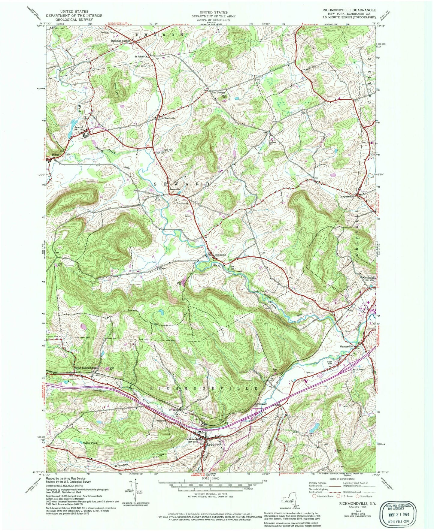
Historical USGS topographic quad map of Richmondville in the state of New York. Map scale may vary for some years, but is generally around 1:24,000. Print size is approximately 24" x 27"
This quadrangle is in the following counties: Schoharie.
The map contains contour lines, roads, rivers, towns, and lakes. Printed on high-quality waterproof paper with UV fade-resistant inks, and shipped rolled.
Contains the following named places: Abbott Cemetery, Bear Gulch, Beard Wellness Center, Beards Hollow, Beekman Cemetery, Beekman Corners, Brooker Hollow, Clock Cemetery, Clove, Cobleskill - Richmondville High School, Cobleskill Drive-In, Cold Springs Farm, Davis Hall, Dorloo, Foundation Equestrian Center, Fox - Cross Cemetery, Fran Lan Farms, Fuller Pond, Gardnersville, Hodder Hall, Holmes Cemetery, Hynds Cemetery, Hyndsville, Janesville, Joseph B Radez Elementary School, Kniskern House, Lawyersville, Lawyersville Union Cemetery, Lincoln Mobile Home Park, Marcley Cemetery, Mickel Hollow, Nagimor Farm, New Rhinebeck Cemetery, Parsons Hall, Peoples Cemetery, Pine Hill, Porter Hall, Richmondville, Richmondville Fire Department, Richmondville Post Office, Richmondville Rural Cemetery, Richmondville United Methodist Church, Richmondville Village Cemetery, Richmondville Volunteer Emergency Squad, Saint Johns Church, Saint Paul's Lutheran Church, School Number 10, School Number 12, School Number 14, School Number 3, School Number 4, School Number 6, School Number 7, School Number 8, School Number 9, Seward, Seward Cemetery, Shafer Cemetery, Strobeck Cemetery, Ten Eyck Hall, Town of Richmondville, Town of Seward, Village of Richmondville, Warnerville, Warnerville Cemetery, Warnerville Post Office, West Creek, West Richmondville, West Richmondville Cemetery, Zeh Corners, Zion Lutheran Church of Seward, ZIP Code: 12043


