MyTopo
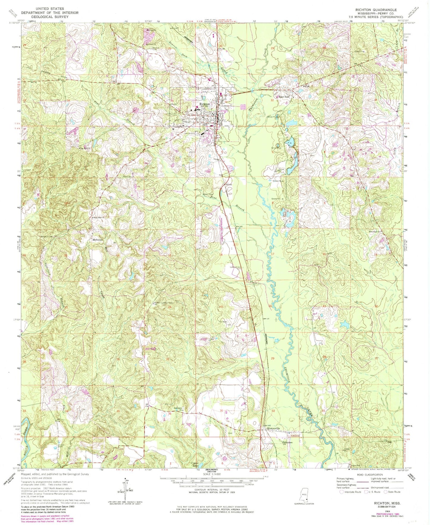
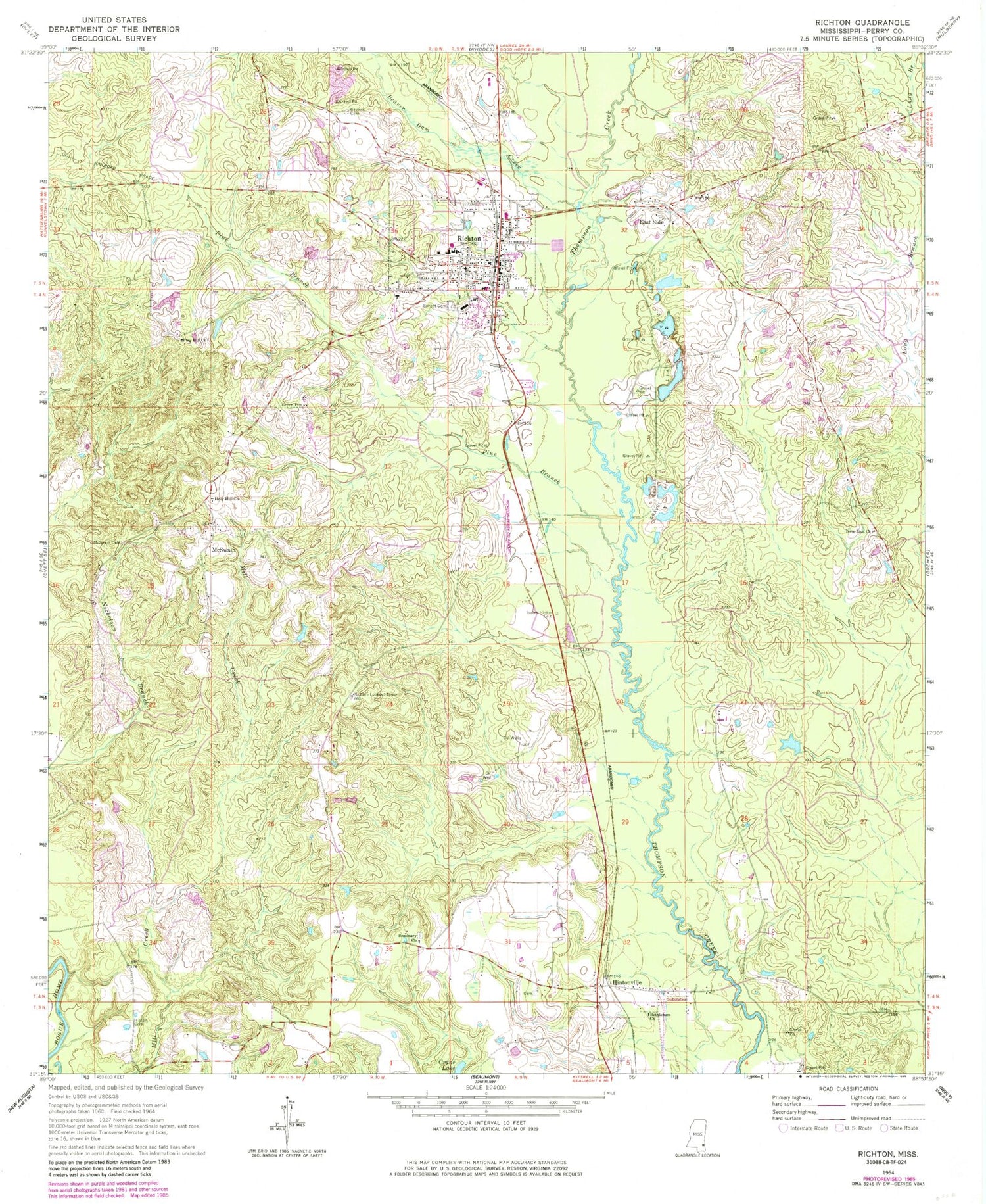
Classic USGS Richton Mississippi 7.5'x7.5' Topo Map
Couldn't load pickup availability
Historical USGS topographic quad map of Richton in the state of Mississippi. Map scale may vary for some years, but is generally around 1:24,000. Print size is approximately 24" x 27"
This quadrangle is in the following counties: Perry.
The map contains contour lines, roads, rivers, towns, and lakes. Printed on high-quality waterproof paper with UV fade-resistant inks, and shipped rolled.
Contains the following named places: Beaver Dam Creek, Bethlehem Missionary Church, Browns Cemetery, Clay Hill Church, Clay Hill School, Crane Lake, East Side, First Assembly of God Church, First United Pentecostal Church, George Guthrie Pond Dam, Hinton Cemetery, Hintonville, Hintonville Volunteer Fire Department, Holy Hill Church, Isaiah Hinton Cemetery, James Grantham Pond Dam, Joe Blackmon Pond Dam, McSwain, McSwain Cemetery, Meadows Mill, Mississippi Forestry Commission Perry County Workstation, New Zion Church, Perry County General Hospital, Perry County Hospital Nursing Center, Pine Branch, Pine Forest Regional Library - Richton Public Library, Richs Mill, Richton, Richton Elementary School, Richton Fire Department, Richton First Baptist Church, Richton High School, Richton Lookout Tower, Richton Police Department, Richton Post Office, Richton Publically Owned Treatment Works, Richton United Methodist Church, Richton-Perry County Airport, Saint Paul Baptist Church, Scott Nicholson Catfish Ponds Dam, Seminary Church, Sunset Cemetery, Supervisor District 3, Supervisor District 4, Town of Richton


