MyTopo
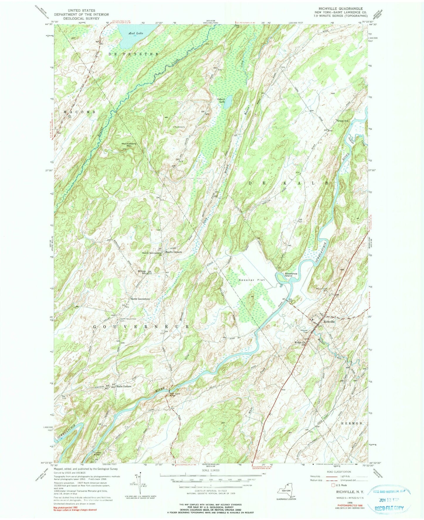
Classic USGS Richville New York 7.5'x7.5' Topo Map
Couldn't load pickup availability
Historical USGS topographic quad map of Richville in the state of New York. Map scale may vary for some years, but is generally around 1:24,000. Print size is approximately 24" x 27"
This quadrangle is in the following counties: St. Lawrence.
The map contains contour lines, roads, rivers, towns, and lakes. Printed on high-quality waterproof paper with UV fade-resistant inks, and shipped rolled.
Contains the following named places: Billings School, Boland Creek, Grays School, Halls Corners, Huckleberry Mountain, Indian Creek, Locust Acres, Maple Grove Cemetery, Merrill Creek, North Gouverneur, North Gouverneur Cemetery, North Gouverneur Church, Osborn Lake, Peabody Bridge, Richville, Richville Baptist Chapel, Richville Christian Fellowship, Richville Free Library, Richville Post Office, Richville United Church, Richville Volunteer Fire Department, Rock Island Bridge, Snowshoe Island, South Branch Beaver Creek, Spooner Flat, Staplin Corners, Village of Richville, Wayside Cemetery, Welch Church, White Creek, ZIP Code: 13633